Tours
Activities
Places of interest
Where to eat
Where to sleep
Discover Labastide-en-val, Aude, and its surrounding treasures
Are you in charge of the destination?Nestled in the picturesque region of Languedoc-Roussillon, Labastide-en-val is the perfect starting point for exploring the natural and historical wonders of the area. Hiking enthusiasts will delight in the trails winding through the hills of Aude, offering stunning views of the valley. Don't miss the famous Cascade des Aigrettes, a preserved natural spot perfect for nature and wildlife lovers.
H...See more
H...See more
Walking around Labastide-en-val
See more suggestionsExplore the natural surroundings of Labastide-en-val.
See more suggestions
")
")


What to do in Labastide-en-val
See more suggestionsThe best experiences in Labastide-en-val are just a click away, book now.
See more suggestions


IGN cards

2346SB - LIMOUX CAZILHAC
Editor : IGN
Collection : TOP 25 ET SÉRIE BLEUE
Scale : 1:25 000
13.90€
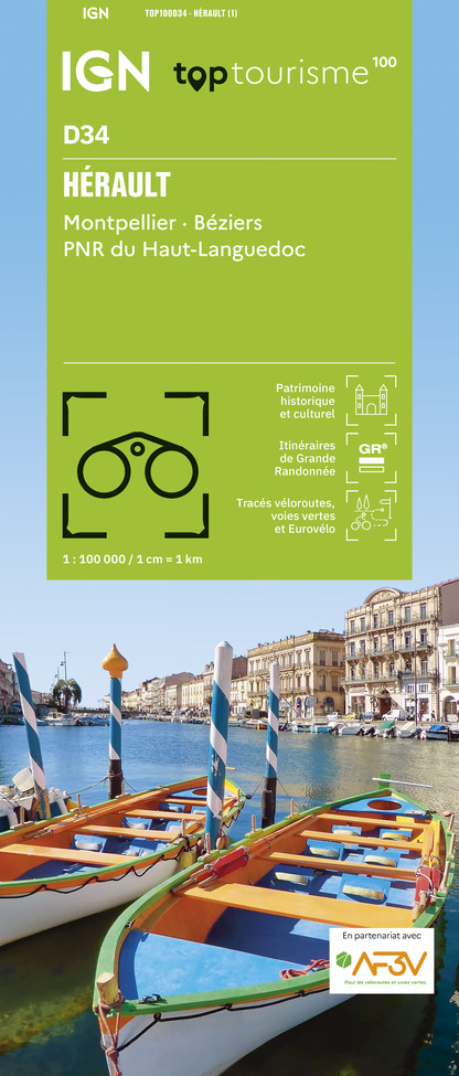
TOP100D34 - HÉRAULT MONTPELLIER BÉZIERS PNR DU HAUT-LANGUEDOC
Editor : IGN
Collection : TOP 100
Scale : 1:100 000
8.40€

TOP100D66 - PYRÉNÉES-ORIENTALES PERPIGNAN PRADES CÉRET CÔTE VERMEILLE PNR DES PYRÉNÉES CATALANES
Editor : IGN
Collection : TOP 100
Scale : 1:100 000
8.40€

TOP100D11 - AUDE CARCASSONNE NARBONNE LIMOUX QUILLAN CANAL DU MIDI
Editor : IGN
Collection : TOP 100
Scale : 1:100 000
8.40€

89031 - LE CANAL DU MIDI
Editor : IGN
Collection : DECOUVERTE DES CHEMINS
Scale : 1:100 000
9.10€

D09-66 ARIÈGE PYRÉNÉES-ORIENTALES
Editor : IGN
Collection : CARTES DÉPARTEMENTALES IGN
Scale : 1:150 000
5.90€

D11-81 AUDE TARN
Editor : IGN
Collection : CARTES DÉPARTEMENTALES IGN
Scale : 1:150 000
5.90€

EUROPE
Editor : IGN
Collection : DÉCOUVERTE DES PAYS DU MONDE IGN
Scale : 1:2 500 000
7.00€
What to visit in Labastide-en-val
See more suggestionsStroll through the historic districts of Labastide-en-val.
See more suggestions


Where to eat in Labastide-en-val
See more suggestionsThe dining spots in Labastide-en-val have surprises in store.
See more suggestions


Where to sleep in Labastide-en-val
See more suggestionsBook a pleasant stay in Labastide-en-val.
See more suggestions


")


