Tours
Activities
Places of interest
Where to eat
Where to sleep
Discover Ardèche from CAMPING LA VIGNASSE
Are you the owner?Unveil a plethora of activities surrounding Berrias-et-Casteljau, in Ardèche. This majestic natural setting, with its mountains and rivers, is perfect for hiking enthusiasts, canoeing, and swimming. Tread through the famous Ardèche Gorges, visit spectacular caves like the Aven d'Orgnac, or wander through the picturesque alleys of medieval villages such as Balazuc and Vogüé. History buffs can explo...See more
Walking around CAMPING LA VIGNASSE
See more suggestionsAccessible hikes near CAMPING LA VIGNASSE.
See more suggestions")


")


What to do in CAMPING LA VIGNASSE
See more suggestionsOrganize your days in CAMPING LA VIGNASSE with bookable activities for the whole family.
See more suggestions


IGN cards
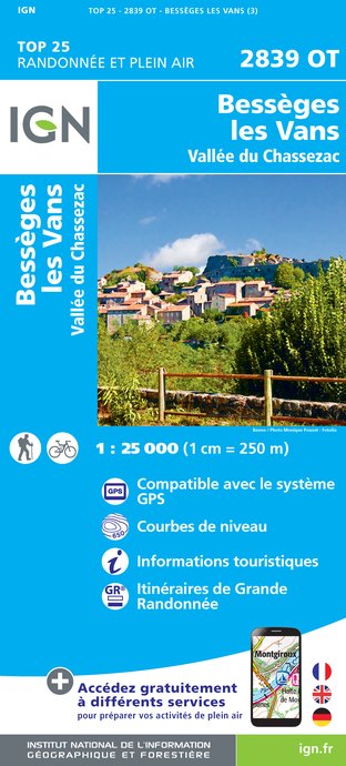
2839OT - BESSÈGES LES VANS VALLÉE DU CHASSEZAC
Editor : IGN
Collection : TOP 25 ET SÉRIE BLEUE
Scale : 1:25 000
13.90€
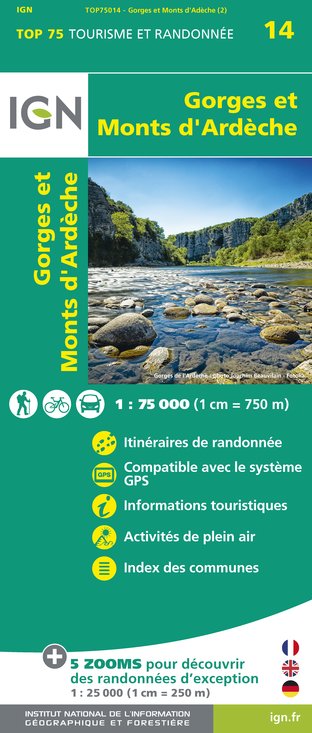
TOP75014 - GORGES ET MONTS D'ARDÈCHE
Editor : IGN
Collection : TOP 75
Scale : 1:75 000
9.80€

TOP100D07 - ARDÈCHE PRIVAS AUBENAS VALLON-PONT-D'ARC PNR DES MONTS D'ARDÈCHE
Editor : IGN
Collection : TOP 100
Scale : 1:100 000
8.40€

TOP100D48 - LOZÈRE MENDE FLORAC-TROIS-RIVIÈRES PARC NATIONAL DES CÉVENNES GORGES DU TARN ET DE LA JONTE
Editor : IGN
Collection : TOP 100
Scale : 1:100 000
8.40€

83501 - PARC NATIONAL DES CÉVENNES
Editor : IGN
Collection : DÉCOUVERTE DES PARCS
Scale : 1:50 000
9.00€

D30-34 GARD HÉRAULT
Editor : IGN
Collection : CARTES DÉPARTEMENTALES IGN
Scale : 1:150 000
5.90€

D07-26 ARDÈCHE DRÔME
Editor : IGN
Collection : CARTES DÉPARTEMENTALES IGN
Scale : 1:150 000
5.90€

D13-84 BOUCHES-DU-RHÔNE VAUCLUSE
Editor : IGN
Collection : CARTES DÉPARTEMENTALES IGN
Scale : 1:150 000
5.90€

NR16 PROVENCE-ALPES-CÔTE D'AZUR
Editor : IGN
Collection : CARTES RÉGIONALES IGN
Scale : 1:250 000
6.80€

EUROPE
Editor : IGN
Collection : DÉCOUVERTE DES PAYS DU MONDE IGN
Scale : 1:2 500 000
7.00€
What to visit in CAMPING LA VIGNASSE
See more suggestionsRelax in the parks of CAMPING LA VIGNASSE.
See more suggestions


Where to eat in CAMPING LA VIGNASSE
See more suggestionsRestaurants in CAMPING LA VIGNASSE will captivate you.
See more suggestions


Where to sleep in CAMPING LA VIGNASSE
See more suggestionsBook a pleasant stay in CAMPING LA VIGNASSE.
See more suggestions


