Tours
Activities
Places of interest
Where to eat
Where to sleep
Domaine des Garrigues: Explore Grospierres, Ardèche
Are you the owner?Welcome to Domaine des Garrigues, your ideal starting point to explore Grospierres in Ardèche, Rhône-Alpes region. Dive into the rich history and nature of this area with a visit to the famous Gorges de l'Ardèche just a few kilometers away. Venture through the Païolive forest, a wild territory interspersed with uniquely shaped limestone rocks. Don’t miss an excursion to the mysterious Aven d’Orgna...See more
Walking around DOMAINE DES GARRIGUES
See more suggestionsAccessible hikes near DOMAINE DES GARRIGUES.
See more suggestions

")


")


What to do in DOMAINE DES GARRIGUES
See more suggestionsPlan your leisure time in DOMAINE DES GARRIGUES by booking activities that suit your preferences.
See more suggestions


IGN cards

2839OT - BESSÈGES LES VANS VALLÉE DU CHASSEZAC
Editor : IGN
Collection : TOP 25 ET SÉRIE BLEUE
Scale : 1:25 000
13.90€
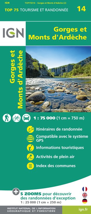
TOP75014 - GORGES ET MONTS D'ARDÈCHE
Editor : IGN
Collection : TOP 75
Scale : 1:75 000
9.80€

TOP100D07 - ARDÈCHE PRIVAS AUBENAS VALLON-PONT-D'ARC PNR DES MONTS D'ARDÈCHE
Editor : IGN
Collection : TOP 100
Scale : 1:100 000
8.40€

D30-34 GARD HÉRAULT
Editor : IGN
Collection : CARTES DÉPARTEMENTALES IGN
Scale : 1:150 000
5.90€

D13-84 BOUCHES-DU-RHÔNE VAUCLUSE
Editor : IGN
Collection : CARTES DÉPARTEMENTALES IGN
Scale : 1:150 000
5.90€

D07-26 ARDÈCHE DRÔME
Editor : IGN
Collection : CARTES DÉPARTEMENTALES IGN
Scale : 1:150 000
5.90€

NR16 PROVENCE-ALPES-CÔTE D'AZUR
Editor : IGN
Collection : CARTES RÉGIONALES IGN
Scale : 1:250 000
6.80€

EUROPE
Editor : IGN
Collection : DÉCOUVERTE DES PAYS DU MONDE IGN
Scale : 1:2 500 000
7.00€
What to visit in DOMAINE DES GARRIGUES
See more suggestionsAttend events organized in DOMAINE DES GARRIGUES.
See more suggestions


Where to eat in DOMAINE DES GARRIGUES
See more suggestionsThe flavors of DOMAINE DES GARRIGUES await you.
See more suggestions


Where to sleep in DOMAINE DES GARRIGUES
See more suggestionsDiscover the best lodging options in DOMAINE DES GARRIGUES.
See more suggestions


