Tours
Activities
Places of interest
Where to eat
Where to sleep

Camping Le Cians La Bulle du Cians in Beuil, Alpes-Maritimes

Are you the owner?
Set in the breathtaking Cians Valley, Camping Le Cians La Bulle du Cians offers a stay filled with discoveries and adventures. Nestled in the heart of the Alpes-Maritimes, near Beuil, this site is a paradise for nature lovers and outdoor activity enthusiasts.

Begin your exploration with a hike along the marked trails. Take the iconic GR52A and discover the sublime alpine landscapes. Cycling enthu...
See more

Walking around CAMPING LE CIANS LA BULLE DU CIANS

See more suggestions
Stroll through the walking routes of CAMPING LE CIANS LA BULLE DU CIANS.
See more suggestions
Pas de Belon
19 km

Pas de Belon

You'll straddle the 1860 border before the Comté de Nice became part of Provence. A milestone marking this boundary can still be seen at Col St Pons. Cross the small bridge towards the village exit, and turn right towards the cemetery and the small Notre-Dame chapel. Follow the road for about 50 m, then take the path that climbs to the right towards Castellet-lès-Sausses. The path winds its way up a fairly steep slope to a crossroads, where you need to turn right. Continue along this path for about 1.5km before joining a track in the woods called "Le Chabanal". Follow this track for about 2.3km until you rejoin the path at an altitude of 1436m. On the left, you can admire the pretty rounded summit of Mourre-Frey. The trail then continues to climb slightly for around 500m, before descending into the Belon ravine. Cross the Petit Riou and continue along the path until you reach the ridge of the same name. From here, admire the pretty view to the north-west, towards the tête de Travers. Reach the Pas de Belon at 1263m and continue down the path below, on the side of the Saint-Pons ravine. Turn right at the first junction, then right again at the second junction. The path then leads to the Col de Saint Pons, where you can admire an ancient boundary marker between the Kingdom of France and the County of Savoy. From this pass, descend below towards Sausses. The path has some slightly steeper sections in marl and limestone. It eventually leads to the small, asphalted Colette road, which winds its way down to the village center. At this point, reach the small Riou de Sausses bridge.

6 h
13 km
Hard
Montée de l'Auberge 04320 Sausses
Show
Parcours Chemin de Ronde
22 km

Parcours Chemin de Ronde

Sheltered behind the walls of the city's fortifications and along the Var river, several exhibitions bear witness to the traditions, customs and history of the people of Entrevalais. During the medieval period, the present fortified town of Entrevaux formed a sort of "castral town" located in a meander of the Var, which provided an excellent natural entrenchment. It is dominated from above by the castle, but without direct communication with it. However, this settlement is neither the only one, nor the oldest known settlement on the site, which is divided into three interdependent and more or less intertwined toponymic and topographic entities. Originally Entrevaux was a civitate in the High Middle Ages, the seat of a diocese, known as Glandèves, but whose prestige clearly declined in the Low Middle Ages. The site of the cathedral church and the diocesan house was then distinct from the walled town, located a few hundred metres downstream in the Var plain at a place called La Seds. You will take many vaulted passages along the old walkway which once linked the Porte de France to the Porte d'Italie. This walk, thanks to numerous exhibitions, is also the testimony of the traditions, customs and history of the people of Entreval, inhabitants, artists or even soldiers who lived or passed between the walls of the City. Your visit will end by crossing one of the 2 bastions created by Vauban. Every year an exhibition loaned by the Ecomusée Roudoule en Terre Gavotte is installed there. Various themes are thus approached presenting the history, the ways of life and the traditions of the inhabitants of our valleys. Photographic walk of an Entrevalais 1900-1937 As you walk along the Chemin de Ronde, discover the life of the Entrevalais and the landscapes of the Var valley at the beginning of the 20th century, captured with emotion by the amateur and inspired photographer Désiré Sic. The man was born on 29 June 1883. As a young man, he discovered photography and devoted most of his life to it, taking a wide variety of pictures ranging from landscapes to portraits and from ceremonial reportage to art photography. More than a hundred photographs chosen from several thousand glass plates, deposited by his descendants in the Archives Départementales des Alpes de Haute-Provence, evoke his deep attachment to his village and its inhabitants. His long military career began in Nice in 1909 and ended in 1934 in Morocco. He then returned to his native town for an active retirement, before passing away on 29 September 1972.

45 min
219 m
Very easy
04320 Entrevaux
Show
The Citadel
22 km

The Citadel

In the 16th century, France was at war with Europe. The development of artillery and the siege of Charles V's troops in 1536 showed the inadequacy of Entrevaux's ancient medieval fortifications Louis XIV entrusted Vauban with the creation of a fortified line of which Entrevaux was a part, thus locking the access to the middle of Provence. Access : The communication path from the town to the castle, whose 9 zig-zag ramps cut through the Entrevaux rock in such a characteristic way, was built on Vauban's orders from 1693. Before his intervention, the Citadel could only be reached by leaving the town, via the mountain, which made communication impossible for men and animals in the event of a siege. The powder magazine (on the left after the entrance) Now transformed into a museum retracing the "military" history of Entrevaux, its 58m2 could once hold 9,000 kg of gunpowder. This is far too much for the square of Entrevaux and extremely dangerous. The Path The path starts in front of the powder magazine, the 2nd and 3rd ramps lead to the 2 "forts" called Fort Langrune and Fort Pandol, named after their builder. The "grande rampe" and the following ramps offer beautiful views over the territory of Entrevaux. At the end of the last ramp, the entrance to the castle is guarded by a small redoubt with a drawbridge dating from 1693. On the right are the solitary confinement cells built during the First World War for the recalcitrant prisoners of the disciplinary companies from 1917 to 1922. The emergency gate (at the rear), with its guardhouse, communicates with the countryside via a drawbridge and a standing bridge over an impressive moat. This was also created by Vauban, as the medieval city only had one entrance accessible by a ladder! An underground access dug under the citadel connects 2 sides and could protect the garrison in case of bombardment. To the left of the last ramp, you go up to the entrance of the castle. This includes 3 barracks, a bakery and the commander's house, also called the keep because it is situated at the highest point. Large cellars and 3 cisterns gave the castle a resistance capacity of several months in case of siege. Today, the ensemble is more or less in the same state as when Vauban discovered it around 1700, as the major transformations he envisaged were never carried out.

55 min
1.7 km
Very easy
04320 Entrevaux
Show

What to do in CAMPING LE CIANS LA BULLE DU CIANS

See more suggestions
Plan a perfect day in CAMPING LE CIANS LA BULLE DU CIANS with our bookable activities.
See more suggestions

IGN cards

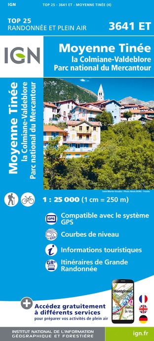
3641ET - MOYENNE TINÉE LA COLMIANE-VALDEBLORE PARC NATIONAL DU MERCANTOUR
Editor : IGN
Collection : TOP 25 ET SÉRIE BLEUE
Scale : 1:25 000
13.90€
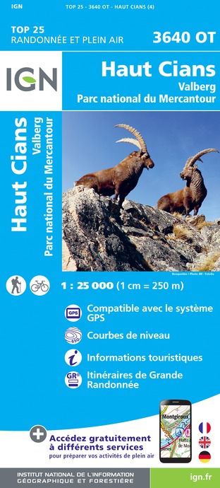
3640OT - HAUT CIANS VALBERG PARC NATIONAL DU MERCANTOUR
Editor : IGN
Collection : TOP 25 ET SÉRIE BLEUE
Scale : 1:25 000
13.90€
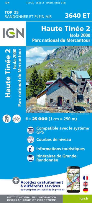
3640ET - HAUTE TINÉE 2 ISOLA 2000 PARC NATIONAL DU MERCANTOUR
Editor : IGN
Collection : TOP 25 ET SÉRIE BLEUE
Scale : 1:25 000
13.90€
TOP75010 - MERCANTOUR
Editor : IGN
Collection : TOP 75
Scale : 1:75 000
9.80€
TOP100D06 - ALPES-MARITIMES NICE CÔTE D'AZUR PARC NATIONAL DU MERCANTOUR PNR DES PRÉALPES D'AZUR
Editor : IGN
Collection : TOP 100
Scale : 1:100 000
8.40€
TOP100D04 - ALPES-DE-HAUTE-PROVENCE DIGNE MANOSQUE PNR DU VERDON LAC DE SERRE-PONÇON
Editor : IGN
Collection : TOP 100
Scale : 1:100 000
8.40€
D83 VAR
Editor : IGN
Collection : CARTES DÉPARTEMENTALES IGN
Scale : 1:150 000
5.90€
D06 ALPES-MARITIMES
Editor : IGN
Collection : CARTES DÉPARTEMENTALES IGN
Scale : 1:150 000
5.90€
D04-05 ALPES-DE-HAUTE-PROVENCE HAUTES-ALPES
Editor : IGN
Collection : CARTES DÉPARTEMENTALES IGN
Scale : 1:150 000
5.90€
NR16 PROVENCE-ALPES-CÔTE D'AZUR
Editor : IGN
Collection : CARTES RÉGIONALES IGN
Scale : 1:250 000
6.80€
NR15 AUVERGNE-RHÔNE-ALPES RECTO/VERSO MASSIF ALPIN
Editor : IGN
Collection : CARTES RÉGIONALES IGN
Scale : 1:250 000
6.80€
NR14 AUVERGNE-RHÔNE-ALPES RECTO/VERSO MASSIF CENTRAL
Editor : IGN
Collection : CARTES RÉGIONALES IGN
Scale : 1:250 000
6.80€
EUROPE
Editor : IGN
Collection : DÉCOUVERTE DES PAYS DU MONDE IGN
Scale : 1:2 500 000
7.00€

What to visit in CAMPING LE CIANS LA BULLE DU CIANS

See more suggestions
Discover the nightlife of CAMPING LE CIANS LA BULLE DU CIANS.
See more suggestions

Where to eat in CAMPING LE CIANS LA BULLE DU CIANS

See more suggestions
Food enthusiasts will love CAMPING LE CIANS LA BULLE DU CIANS's restaurants.
See more suggestions

Where to sleep in CAMPING LE CIANS LA BULLE DU CIANS

See more suggestions
Find lodging to suit your needs in CAMPING LE CIANS LA BULLE DU CIANS.
See more suggestions
Caution!
We have no information on the difficulty of this circuit. You may encounter some surprises along the way. Before you go, please feel free to inquire more and take all necessary precautions. Have a good trip! 🌳🥾