Tours
Activities
Places of interest
Where to eat
Where to sleep
Discover Roye, Haute-Saône, Franche-Comté: A Hidden Gem
Are you in charge of the destination?This page guides you through the attractions and activities accessible from Roye, Haute-Saône, Franche-Comté, ideal for enriching your stay. Lose yourself in the natural beauty of this picturesque area with bucolic hiking trails through lush forests and sparkling rivers. Bagnot, the Ray-sur-Saône Castle, and the Charcenne vineyards are must-visit spots. Explore the local historical and cultural he...See more
Walking around Roye
See more suggestionsStroll through the walking routes of Roye.
See more suggestions


What to do in Roye
See more suggestionsExplore the many bookable activities in Roye and make the most of every moment.
See more suggestions


IGN cards
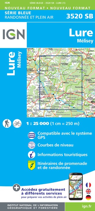
3520SB - LURE MÉLISEY
Editor : IGN
Collection : TOP 25 ET SÉRIE BLEUE
Scale : 1:25 000
13.90€

TOP100D68 - HAUT-RHIN TERRITOIRE DE BELFORT COLMAR MULHOUSE BELFORT PNR DES BALLONS DES VOSGES
Editor : IGN
Collection : TOP 100
Scale : 1:100 000
8.40€

130 VESOUL LANGRES VALLÉE DE LA SAÔNE
Editor : IGN
Collection : TOP 100
Scale : 1:100 000
8.40€

TOP100D70 - HAUTE-SAÔNE VESOUL LURE VALLÉE DE LA SAÔNE
Editor : IGN
Collection : TOP 100
Scale : 1:100 000
8.40€

201 ALSACE MASSIF DES VOSGES
Editor : IGN
Collection : TOP 200
Scale : 1:200 000
6.80€

89026 - GRANDES TRAVERSÉES DU JURA - GTJ
Editor : IGN
Collection : DECOUVERTE DES CHEMINS
Scale : 1:105 000
9.10€

D70-88-90 HAUTE-SAÔNE VOSGES TERRITOIRE DE BELFORT
Editor : IGN
Collection : CARTES DÉPARTEMENTALES IGN
Scale : 1:150 000
5.90€

D67-68 BAS-RHIN HAUT-RHIN
Editor : IGN
Collection : CARTES DÉPARTEMENTALES IGN
Scale : 1:150 000
5.90€

D25-39 DOUBS JURA
Editor : IGN
Collection : CARTES DÉPARTEMENTALES IGN
Scale : 1:150 000
5.90€

NR09 BOURGOGNE FRANCHE-COMTÉ
Editor : IGN
Collection : CARTES RÉGIONALES IGN
Scale : 1:250 000
6.80€

SUISSE
Editor : IGN
Collection : DÉCOUVERTE DES PAYS DU MONDE IGN
Scale : 1:303 000
7.00€

EUROPE
Editor : IGN
Collection : DÉCOUVERTE DES PAYS DU MONDE IGN
Scale : 1:2 500 000
7.00€

ALLEMAGNE
Editor : IGN
Collection : DÉCOUVERTE DES PAYS DU MONDE IGN
Scale : 1:800 000
7.00€
What to visit in Roye
See more suggestionsLearn the history of Roye through its museums.
See more suggestions


Where to sleep in Roye
See more suggestionsDiscover available accommodations around Roye.
See more suggestions


