Tours
Activities
Places of interest
Where to eat
Where to sleep
Discover Carcassonne's charm from HOTEL BOSQUET
Are you the owner?Staying in Carcassonne provides a unique opportunity to immerse yourself in medieval history and culture. Near HOTEL BOSQUET, explore the famous Medieval City of Carcassonne, a UNESCO World Heritage site, with its impressive fortifications and picturesque streets. Enjoy strolls along the Canal du Midi, another UNESCO marvel, where you can go boating or cycling. For wine enthusiasts, the Languedoc-...See more
Walking around HOTEL BOSQUET
See more suggestionsAccessible hikes near HOTEL BOSQUET.
See more suggestions


What to do in HOTEL BOSQUET
See more suggestionsPlan your leisure time in HOTEL BOSQUET by booking activities that suit your preferences.
See more suggestions


IGN cards

2346SB - LIMOUX CAZILHAC
Editor : IGN
Collection : TOP 25 ET SÉRIE BLEUE
Scale : 1:25 000
13.90€
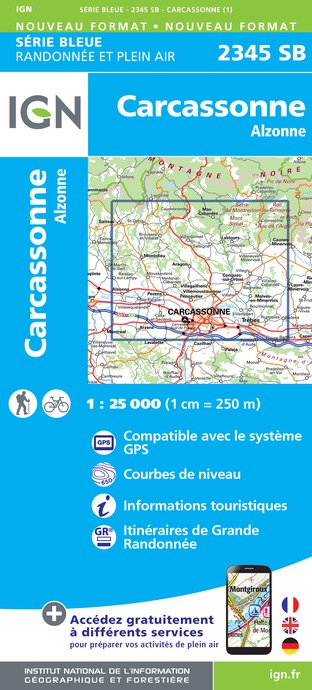
2345SB - CARCASSONNE ALZONNE
Editor : IGN
Collection : TOP 25 ET SÉRIE BLEUE
Scale : 1:25 000
13.90€

TOP100D11 - AUDE CARCASSONNE NARBONNE LIMOUX QUILLAN CANAL DU MIDI
Editor : IGN
Collection : TOP 100
Scale : 1:100 000
8.40€

TOP100D66 - PYRÉNÉES-ORIENTALES PERPIGNAN PRADES CÉRET CÔTE VERMEILLE PNR DES PYRÉNÉES CATALANES
Editor : IGN
Collection : TOP 100
Scale : 1:100 000
8.40€

89031 - LE CANAL DU MIDI
Editor : IGN
Collection : DECOUVERTE DES CHEMINS
Scale : 1:100 000
9.10€

D09-66 ARIÈGE PYRÉNÉES-ORIENTALES
Editor : IGN
Collection : CARTES DÉPARTEMENTALES IGN
Scale : 1:150 000
5.90€

D11-81 AUDE TARN
Editor : IGN
Collection : CARTES DÉPARTEMENTALES IGN
Scale : 1:150 000
5.90€

EUROPE
Editor : IGN
Collection : DÉCOUVERTE DES PAYS DU MONDE IGN
Scale : 1:2 500 000
7.00€
What to visit in HOTEL BOSQUET
See more suggestionsExperience the annual festivals of HOTEL BOSQUET.
See more suggestions


Where to eat in HOTEL BOSQUET
See more suggestionsThe cuisine of HOTEL BOSQUET is a must-try.
See more suggestions


Where to sleep in HOTEL BOSQUET
See more suggestionsEnjoy our accommodation recommendations in HOTEL BOSQUET.
See more suggestions


")


