Tours
Activities
Places of interest
Where to eat
Where to sleep

Camping Terra Verdon: Explore Castellane and Beyond

Are you the owner?
Nestled in the heart of the Alpes-de-Haute-Provence, Camping Terra Verdon invites you to discover the charming village of Castellane and its surroundings. Start your adventure with a visit to the majestic Gorges du Verdon, just a few kilometers away, where you can enjoy canoeing, hiking, and even rock climbing. For history buffs, the old town of Castellane reveals its picturesque streets and histo...See more

Walking around CAMPING TERRA VERDON

See more suggestions
Explore the hiking trails around CAMPING TERRA VERDON.
See more suggestions
Le Tour de Robion
4.6 km

Le Tour de Robion

Pleasant path overlooking the Verdon, then passing through the hamlet of Robion, near the chapels of Sainte Trophime and Sainte Thyrs. From Castellane, take the route de Robion (D102) behind the swimming pool. After 2km, park in the parking lot on the left. Take the footpath on the right of the road below and descend to a small stream. The path climbs a little steeply and reaches the crossroads of the path leading to the summit of Montagne de Robion. Leave this path to the left and continue straight ahead. Enjoy a magnificent view of Cadières de Brandis and the small village of Taloire. At the next crossroads, stay on the same path to reach La Colle. Turn left downhill towards Fontpuge, where you'll find a ruined house. Follow the signs to reach the hamlet of Basse de la Doux. Then make a 90° turn to reach the small village of Robion. In the village, follow the D302 in the direction of Chapelle St Thyrs. Shortly before the chapel, a track leads off to the right, avoiding the road. End up at the chapel. Turn left to reach the junction of the D302 and D102. Turn right onto a small path under the road, which leads around a bend. Cross the road, the path bends to the right and, at the exit, turn immediately left to rejoin the signposted path. Rejoin the parking lot. Below is an alternative route: Take the small bridge on your right. After the bridge, turn left onto the track that leads to the Maison du Brec. After 2 bends, the path continues straight ahead; do not turn right as this is private property. Continue north-east to the Col de Colle Meillane. Take an old, faint path on the left, which runs under the power line. Note: if it's hard to find, continue along the track, which leads you to the road to the dump near the parking lot. Overlook the gorges, but beware: there is also a somewhat aerial passage. Rejoin the track and then the route de la décharge. Turn left onto the road to reach the starting parking lot. Follow the signposts, which take you along the departmental road, not too busy with cars, but not very pleasant.

6 h
15 km
Hard
A 2km de Castellane, sur la route du Bourget 04120 Castellane
Show
Cadières de Brandis
5.1 km

Cadières de Brandis

This dolomitic formation is intriguing, it resembles perched chimneys on a ridge with stunning views. From the car park of the col des Lèques, take the track heading south. You can park a little further away (there’s a parking lot at the tennis court or at the small mountain pass at 400m). Follow the track towards Cadières de Brandis. 1 - At the first intersection, leave the Chemin de Taulane on the right (return path) and continue up the forest track on the left. Gradually go up the track for about 1km until the intersection with the path descending on Castellane. 2 - Continue on the rising track. At 100m, leave a descending track on the left. Continue on the rising track for another 300m, then follow the route of the trail at the first turn. Reach to the peak of the Colle Bernaiche and regain the trail coming from Villars Brandis. 3 - Continue on the track heading towards the pylon and at the end of it, follow the path starting from the hillside and heading towards Cadières. Continue on this route which is relatively flat for 500m then. When you have reached a fruit tree, leave this route in direction of Cadières, which is glimpsedat the back and follow the path that goes right up the hill. Meander between the rocks and under the pine trees, reach the highest point of the trek (1 550m). 4 – Between pines and cleared passages, go down the path leading to the plateau. After about 900metres, turn right at the bottom of a depression (an area where the air pressure is low), then go through the rocky passages (not dangerous, but some steep passages; pay attention to the marking!) and cross a small rock tunnel before starting the descent to the forest. In the woods, (a steep downhill!) continue to pass through until you reach another marked path. 5 - Leave behind the path descending to Taulane on the left and follow the path on the right going towards the col des Lèques. At 900m, regain point ( 1 ) 1 - Enter the car park via the route taken initially.

4 h
7.6 km
Medium
Show

What to do in CAMPING TERRA VERDON

See more suggestions
Make your stay in CAMPING TERRA VERDON special by booking activities.
See more suggestions

IGN cards

3442OTR - GORGES DU VERDON RESISTANTE MOUSTIERS STE-MARIE LAC DE SAINTE-CROIX PNR DU VERDON
Editor : IGN
Collection : TOP 25 RÉSISTANTE
Scale : 1:25 000
17.20€
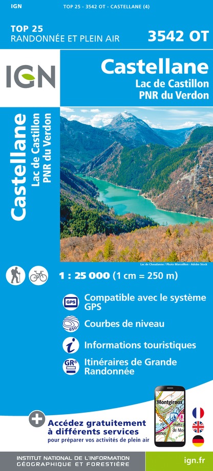
3542OT - CASTELLANE LAC DE CASTILLON PNR DU VERDON
Editor : IGN
Collection : TOP 25 ET SÉRIE BLEUE
Scale : 1:25 000
13.90€
3442OT - GORGES DU VERDON MOUSTIERS-SAINTE-MARIE LAC DE SAINTE-CROIX PNR DU VERDON
Editor : IGN
Collection : TOP 25 ET SÉRIE BLEUE
Scale : 1:25 000
13.90€
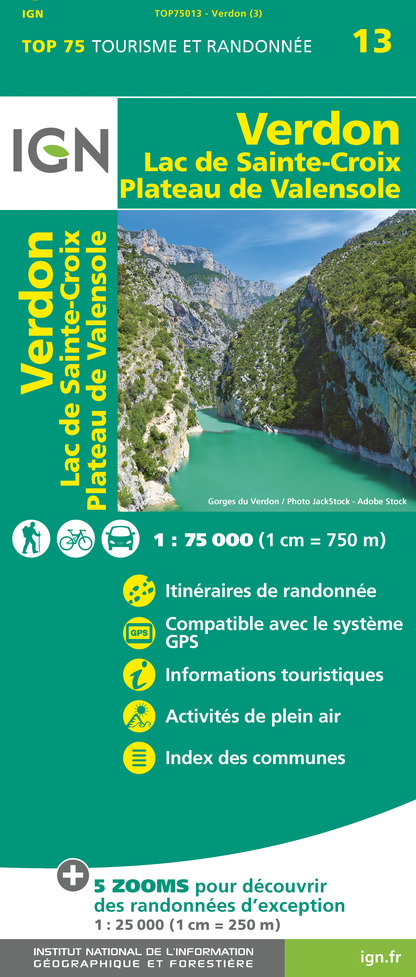
TOP75013 - VERDON LAC DE SAINTE-CROIX PLATEAU DE VALENSOLE
Editor : IGN
Collection : TOP 75
Scale : 1:75 000
9.80€
VEL06 - LE VAR A VELO
Editor : IGN
Collection : DECOUVERTE A VELO
Scale : 1:110 000
9.10€
TOP100D04 - ALPES-DE-HAUTE-PROVENCE DIGNE MANOSQUE PNR DU VERDON LAC DE SERRE-PONÇON
Editor : IGN
Collection : TOP 100
Scale : 1:100 000
8.40€
TOP100D06 - ALPES-MARITIMES NICE CÔTE D'AZUR PARC NATIONAL DU MERCANTOUR PNR DES PRÉALPES D'AZUR
Editor : IGN
Collection : TOP 100
Scale : 1:100 000
8.40€
TOP100D83 - VAR TOULON FRÉJUS MASSIFS DES MAURES ET DE L'ESTEREL PARC NATUREL RÉGIONAL DU VERDON
Editor : IGN
Collection : TOP 100
Scale : 1:100 000
8.40€
D04-05 ALPES-DE-HAUTE-PROVENCE HAUTES-ALPES
Editor : IGN
Collection : CARTES DÉPARTEMENTALES IGN
Scale : 1:150 000
5.90€
D83 VAR
Editor : IGN
Collection : CARTES DÉPARTEMENTALES IGN
Scale : 1:150 000
5.90€
D06 ALPES-MARITIMES
Editor : IGN
Collection : CARTES DÉPARTEMENTALES IGN
Scale : 1:150 000
5.90€
NR16 PROVENCE-ALPES-CÔTE D'AZUR
Editor : IGN
Collection : CARTES RÉGIONALES IGN
Scale : 1:250 000
6.80€
NR14 AUVERGNE-RHÔNE-ALPES RECTO/VERSO MASSIF CENTRAL
Editor : IGN
Collection : CARTES RÉGIONALES IGN
Scale : 1:250 000
6.80€
NR15 AUVERGNE-RHÔNE-ALPES RECTO/VERSO MASSIF ALPIN
Editor : IGN
Collection : CARTES RÉGIONALES IGN
Scale : 1:250 000
6.80€
EUROPE
Editor : IGN
Collection : DÉCOUVERTE DES PAYS DU MONDE IGN
Scale : 1:2 500 000
7.00€
82018 - GORGES DU VERDON
Editor : IGN
Collection : DÉCOUVERTE DE LIEUX D’EXCEPTION
Scale : 1:16 500
9.95€

What to visit in CAMPING TERRA VERDON

See more suggestions
Take a boat tour around CAMPING TERRA VERDON.
See more suggestions

Where to eat in CAMPING TERRA VERDON

See more suggestions
Explore the best dining spots in CAMPING TERRA VERDON.
See more suggestions

Where to sleep in CAMPING TERRA VERDON

See more suggestions
Choose a comfortable accommodation in CAMPING TERRA VERDON.
See more suggestions
Caution!
We have no information on the difficulty of this circuit. You may encounter some surprises along the way. Before you go, please feel free to inquire more and take all necessary precautions. Have a good trip! 🌳🥾