Tours
Activities
Places of interest
Where to eat
Where to sleep
Discover the charming surroundings of Les Vignes Blanches
Are you the owner?Les Vignes Blanches welcomes you to explore a variety of fascinating activities around Beaucaire, Gard, Languedoc-Roussillon. Nestled between Provence and Languedoc, this region is a true historical and cultural treasure. Begin your visit with the impressive Saint-Roman Abbey, a troglodyte monastery offering a panoramic view of the Rhône. History enthusiasts will also enjoy the majestic Forteresse...See more
Walking around LES VIGNES BLANCHES
See more suggestionsWalks and hikes around LES VIGNES BLANCHES.
See more suggestions


What to do in LES VIGNES BLANCHES
See more suggestionsExplore the bookable activity options in LES VIGNES BLANCHES for all tastes and ages.
See more suggestions


IGN cards
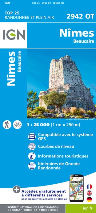
2942OT - NÎMES BEAUCAIRE
Editor : IGN
Collection : TOP 25 ET SÉRIE BLEUE
Scale : 1:25 000
13.90€

VEL03 - LE VAUCLUSE A VÉLO
Editor : IGN
Collection : DECOUVERTE A VELO
Scale : 1:100 000
9.10€

TOP100D13 - BOUCHES-DU-RHÔNE MARSEILLE AIX-EN-PROVENCE PARC NATIONAL DES CALANQUES PNR DES ALPILLES ET DE CAMARGUE
Editor : IGN
Collection : TOP 100
Scale : 1:100 000
8.40€

TOP100D84 - VAUCLUSE AVIGNON CARPENTRAS PARCS NATURELS RÉGIONAUX DU LUBERON ET DU MONT-VENTOUX
Editor : IGN
Collection : TOP 100
Scale : 1:100 000
8.40€

D13-84 BOUCHES-DU-RHÔNE VAUCLUSE
Editor : IGN
Collection : CARTES DÉPARTEMENTALES IGN
Scale : 1:150 000
5.90€

D30-34 GARD HÉRAULT
Editor : IGN
Collection : CARTES DÉPARTEMENTALES IGN
Scale : 1:150 000
5.90€

NR16 PROVENCE-ALPES-CÔTE D'AZUR
Editor : IGN
Collection : CARTES RÉGIONALES IGN
Scale : 1:250 000
6.80€

NR14 AUVERGNE-RHÔNE-ALPES RECTO/VERSO MASSIF CENTRAL
Editor : IGN
Collection : CARTES RÉGIONALES IGN
Scale : 1:250 000
6.80€

NR15 AUVERGNE-RHÔNE-ALPES RECTO/VERSO MASSIF ALPIN
Editor : IGN
Collection : CARTES RÉGIONALES IGN
Scale : 1:250 000
6.80€

EUROPE
Editor : IGN
Collection : DÉCOUVERTE DES PAYS DU MONDE IGN
Scale : 1:2 500 000
7.00€
What to visit in LES VIGNES BLANCHES
See more suggestionsVisit the iconic landmarks of LES VIGNES BLANCHES.
See more suggestions


Where to eat in LES VIGNES BLANCHES
See more suggestionsSavor culinary specialties in LES VIGNES BLANCHES.
See more suggestions


Where to sleep in LES VIGNES BLANCHES
See more suggestionsFind the perfect lodging for your visit to LES VIGNES BLANCHES.
See more suggestions

