Alert
Alerts
Les Crottes d'Aubert
Description
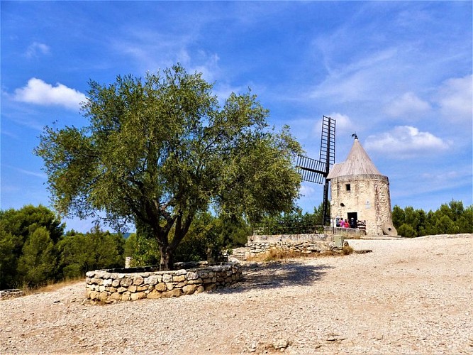
From the Daudet mill to the Barbegal aqueduct, travel back in time around the Crottes d'Aubert
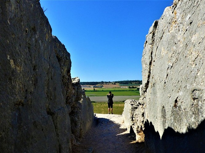
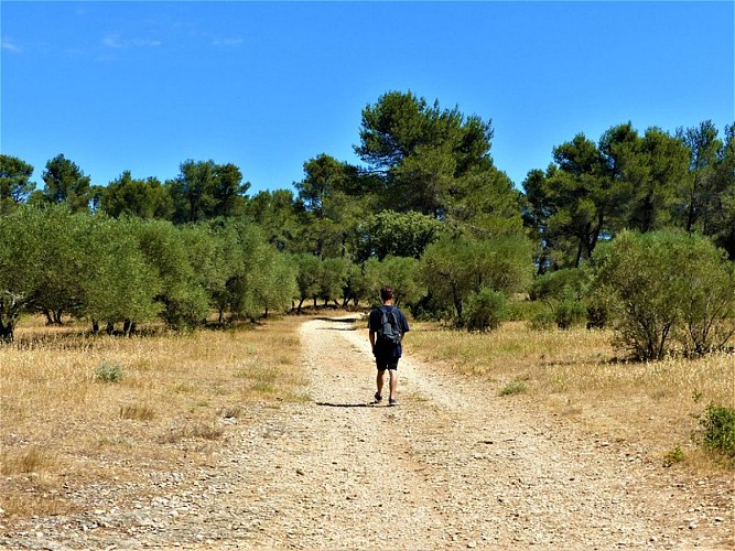
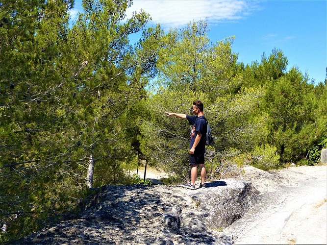
From the parking, follow the path that runs along the road from the south and join the Daudet mill on the left. 1- At the mill, go down to the left then take a yellow and blue marked path on the right (follow this double yellow and blue markings to point no. 3). At the crow's feet, stay on your left. Pass the barrier before a picnic area, then a second barrier on the left. 2- 200 m further, at the sign, follow to the right the direction "Les Baux-de-Provence". Pass a barrier and continue on the roadside path to another barrier. Then take the path on the left, then 350 m further the second path on the right (signposting on the ground!). 3- On this yellow and blue marked path, join a barrier from where you can see the road. Take the path on the right and join this road passing an irrigation canal. Follow the road on the right for 300 m (Caution, traffic!) To the Roman aqueduct and the mill at the end of the path that runs along the latter. 4- return by the same itinerary up to the channel. A few meters higher, climb to the right by the blue marked path (follow this blue marking until the end of the hike) and continue to a barrier. 5- After this one, take the path on the left towards the north. Go to a buried cistern. At this junction, take the path that goes north-east. Arrive at a junction where you can see a rock wall.6- turning left toward the old quarries of Fontvieille. Stay on this path lined with a fence (Caution, quarry holes!) To the entrance of the quarries and the first houses of Fontvieille. Take the road on the left. 7- Turn right just after the fenced garden and before the water retention pond. Follow this path through woods to a small road, following the communal signs. Take it on the right and join the Montauban castle from behind. Exit through the front door and cross the village to reach the parking lot of the pine alley.
Technical Information
Altimetric profile
Starting point
Points of interest


Additional information
Public transport
Look for transit times on the site www.lepilote.com in the town of Fontvieille.
Advice
For your safety, and for the preservation of forest areas, access to natural areas is regulated from June to September. Inquire during the summer period on 08 11 20 13 13 (price of a local call) or on www.bouches-du-rhone.pref.gouv.fr Download the application for free MYPROVENCE ENVIE DE BALADE (available on Appstore and Android Market).
Advised parking
Parking du Bureau d'Information Touristique, Fontvieille
Access
6 km from Arles by the D17.
Arrival
Fontvieille
Ambiance
"It is nice to walk along quiet, shady paths lined with pine forests, scrubland and olive groves, which testify to a rich biodiversity. Also discover, during this rejuvenating walk, the beautiful landscapes that make you enjoy the best spots in the town of Fontvieille. " Baptiste Follot, student at the agricultural school of Saint-Rémy-de-Provence..
Departure
Tourism Office, Fontvieille
