Tours
Activities
Places of interest
Where to eat
Where to sleep

Explore Camping du Mettey and Vagney's Local Treasures

Are you the owner?
Nestled in the heart of the Vosges mountains, in Vagney, CAMPING DU METTEY serves as the perfect gateway to discovering the natural and cultural wonders of the region. Nature lovers can take advantage of numerous hiking trails weaving through lush forests and majestic mountains.
Cycling enthusiasts will find delightful bike paths suited to all levels, promising unforgettable rides. Just a few ki...
See more

Walking around CAMPING DU METTEY

See more suggestions
Discover the walking paths of CAMPING DU METTEY.
See more suggestions
Randonnée - sentier des carrières
4.8 km

Randonnée - sentier des carrières

Access: From Remiremont, go to Saint-Amé. In the centre of the village (opposite the church), turn left, pass the town hall and go to the stadium. Parking: Park in the stadium car park. Distance: 10 km / Duration: 3 h / Ascent: 350m / Signs: red ring. Take the path along the car park towards the stadium. At the disabled parking spaces, turn left. The first red ring marker is there, and you start to walk around the old Miroir au Merle pond. At the end of the pond, cross the bridge to the left and take the path that climbs into the forest opposite. Follow the markings which vary between path and small road until you reach a relay antenna. Pass in front of the relay antenna, to join the path marked out opposite. A little further on, leave the path and take the road to the next crossroads with the road. At this crossroads with the road, it is possible to make a left turn to the Monroche viewpoint (climbing site). On the spot: picnic table. To continue the walk: turn right onto the marked path that climbs up. Pass a small quarry and a viewpoint. Continue on the path that goes to the right for about 1km to end up at the large quarry, take time to admire the view. There is a covered picnic table. To leave, continue on the path straight ahead. At the next big crossroads with a path, turn left downhill. Then, a little further down at the crow's feet, continue to follow the road downhill on the right, always following the red ring markings. At the crossroads at the bottom of the road, turn right onto the road which very quickly becomes a carriageway. 100m further on, turn left for a smaller path that goes down into the forest. Be careful, the path is rocky! Opposite a small quarry below, leave the path for a nice mossy path in the forest on the left. At the intersection of the paths after the descent, opposite a fence, turn right and then right again 50m further on to go along a dry pond. At the end of the path, again at an intersection opposite a quarry, turn left. When you reach the active quarry, go straight on along it. Stay on the road to the right: be careful if you are walking during the week, the quarry is still in operation, there is a lot of traffic, especially lorries which serve the quarry which is still in operation. Stay on the road for another 300m or so and leave it for a path that goes left into the forest. The path soon becomes a footpath on the right. Continue to follow the markings along the houses. The path alternates between a road and a footpath, which leads to the stadium car park along the housing estate.

3 h
10 km
Hard
10 rue du Stade 88120 SAINT AME
Show
Randonnée - le sentier du patrimoine
4.8 km

Randonnée - le sentier du patrimoine

Access: From Remiremont, go to Saint-Amé. In the centre of the village (opposite the church), turn left, pass the town hall and go to the stadium. Parking: Park in the stadium car park. Distance: 11.6 km / Duration: 3 hrs 50 mins / Difference in altitude: 500m / Signs: blue disc. Take the path along the car park towards the stadium. At the disabled parking spaces, turn left. The first marker is there, and you start to walk around the old Miroir au Merle pond. At the end of the pond, cross the bridge to the left and take the path that climbs into the forest opposite. Follow the markings which vary between path and small road until you reach a relay antenna. Pass in front of the relay antenna to join the path marked out opposite. A little further on, leave the path and take the road to the next junction with the road. At this crossroads, it is possible to turn left to the Monroche viewpoint (climbing site). On the spot: picnic table. To continue the walk: turn right onto the marked path that climbs. Pass a small quarry and a viewpoint. Continue on the path that goes to the right for about 1km to end up at the large quarry, take time to admire the view. There is a covered picnic table. To leave, continue on the path straight ahead. At the next big crossroads with a path, turn left downhill. Then, a little further down at the crow's feet, turn right onto the path which climbs for a while. On the flat area at the top of the hill, at a crossroads with other paths where you can see a "pilot's stele" sign, turn left following the signs until you see another sign. Turn left towards the Pont des Fées and the Saint-Mont via the monks' path. Be careful, the descent to the Pont des Fées can be a bit rough in some places. At the end of the path on the carriage road, turn left and then immediately right to cross the Pont des Fées. Follow the path that climbs after the Pont des Fées to a crossroads, then continue on the left. Higher up, at a stump, turn right to take a rocky path that joins the car access road that leads to the Saint-Mont 100m further on. Enjoy the site and the 360° view! On site: chapel, remains and benches. To leave, go under the arch, go down the first steps then turn left, cross the clearing below the Saint-Mont then go down to the right to go along the excavations which are a little further down. After the excavations, turn left to join the carriage road, then turn right down it. Shortly after the barrier, turn left towards the Chapelle du Vieux Saint-Amé. Be careful on the descent, which is a little steep and, above all, full of stones at certain points. Arrive at the Chapelle du Vieux Saint-Amé. On the spot: 3 picnic tables and benches. To leave, pass in front of the cave and then the chapel and take the path on the left which descends between the benches and tables. At the end of this path, at the crossroads with a track, turn left. Go through the barrier and join the road. Be careful if you are walking during the week, the quarry is still in operation and there is a lot of traffic, especially lorries. After about 300m, leave the road for a path that goes left into the forest. The path soon becomes a footpath on the right. Continue to follow the markings along the houses. Alternating paths, roads and trails lead to the stadium car park along the housing estates.

4 h
12 km
Hard
10 rue du Stade Parking du Stade 88120 SAINT AME
Show

What to do in CAMPING DU METTEY

See more suggestions
Enjoy unforgettable moments in CAMPING DU METTEY by booking activities for everyone.
See more suggestions
Comprehensive Strasbourg rickshaw tour - 1 hr 20 mins
98 km

Comprehensive Strasbourg rickshaw tour - 1 hr 20 mins

Enjoy this guided rickshaw tour to discover all of Strasbourg! Your driver and tour guide will let you in on the city's secrets! Rickshaws are a unique way to get around and see all the key sites of Strasbourg in just 1 hour and 20 minutes! Your driver will do the pedalling while you enjoy the city's key sites. Once you are comfortably seated on your rickshaw, you will start your tour by discovering the Palais Rohan. This magnificent monument with a classical façade has been classified as a historic monument. In 2009, it opened its doors to the most powerful world leaders on a NATO summit. You will then be taken to the Place Broglie to marvel at Strasbourg's stunning opera house. You will be captivated by its neoclassical façade, which has been classified as a historic monument! Your visit will continue with the Place de la République, where you will admire the relics of German architecture. This stunning square is home to the German imperial district's most iconic monuments. You will then enter into the heart of the German neighbourhood to discover its Haussmann-style avenues, the European sites and the Orangerie district. You will also get a glimpse at the headquarters of the French-German cultural TV channel: Arte.   Your tour will end by a ride through the "Petite-France" neighbourhood, at the heart of the old town. Marvel at typical half-timbering houses built right above the water. You will enjoy an exceptional scenic view on the terrace of the Barrage de Vauban. Let this quaint neighbourhood - which is a UNESCO World Heritage Site - captivate you! Pick this tour and visit all the key places of Strasbourg in an unusual and pleasant way!

Book from 90 EURBook
Show

IGN cards

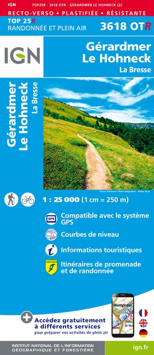
3618OTR - GERARDMER LE HONECK RESISTANTE LA BRESSE
Editor : IGN
Collection : TOP 25 RÉSISTANTE
Scale : 1:25 000
17.20€
3619OTR - BUSSANG RESISTANTE BALLON D'ALSACE GRAND BALLON
Editor : IGN
Collection : TOP 25 RÉSISTANTE
Scale : 1:25 000
17.20€
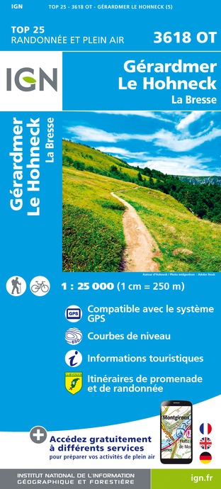
3618OT - GÉRARDMER LE HOHNECK LA BRESSE
Editor : IGN
Collection : TOP 25 ET SÉRIE BLEUE
Scale : 1:25 000
13.90€
3619OT - BUSSANG BALLON D'ALSACE GRAND BALLON
Editor : IGN
Collection : TOP 25 ET SÉRIE BLEUE
Scale : 1:25 000
13.90€
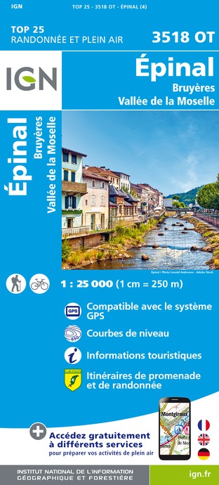
3518OT - ÉPINAL BRUYÈRES VALLÉE DE LA MOSELLE
Editor : IGN
Collection : TOP 25 ET SÉRIE BLEUE
Scale : 1:25 000
13.90€
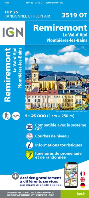
3519OT - REMIREMONT LE VAL-D'AJOL PLOMBIÈRES-LES-BAINS
Editor : IGN
Collection : TOP 25 ET SÉRIE BLEUE
Scale : 1:25 000
13.90€
TOP75028 - VOSGES DU SUD BALLON D'ALSACE LE HOHNECK
Editor : IGN
Collection : TOP 75
Scale : 1:75 000
9.80€
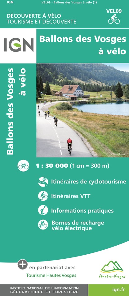
VEL09 - BALLONS DES VOSGES A VELO
Editor : IGN
Collection : DECOUVERTE A VELO
Scale : 1:30 000
9.10€
TOP100D68 - HAUT-RHIN TERRITOIRE DE BELFORT COLMAR MULHOUSE BELFORT PNR DES BALLONS DES VOSGES
Editor : IGN
Collection : TOP 100
Scale : 1:100 000
8.40€
TOP100D88 - VOSGES ÉPINAL NEUFCHÂTEAU ST-DIÉ-DES-VOSGES GÉRARDMER PNR DES BALLONS DES VOSGES
Editor : IGN
Collection : TOP 100
Scale : 1:100 000
8.40€
TOP100D70 - HAUTE-SAÔNE VESOUL LURE VALLÉE DE LA SAÔNE
Editor : IGN
Collection : TOP 100
Scale : 1:100 000
8.40€
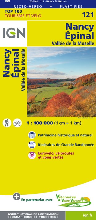
121 NANCY ÉPINAL VALLÉE DE LA MOSELLE
Editor : IGN
Collection : TOP 100
Scale : 1:100 000
8.40€
130 VESOUL LANGRES VALLÉE DE LA SAÔNE
Editor : IGN
Collection : TOP 100
Scale : 1:100 000
8.40€
201 ALSACE MASSIF DES VOSGES
Editor : IGN
Collection : TOP 200
Scale : 1:200 000
6.80€
89032 - LA TRAVERSEE DES VOSGES
Editor : IGN
Collection : DECOUVERTE DES CHEMINS
Scale : 1:100 000
9.10€
D67-68 BAS-RHIN HAUT-RHIN
Editor : IGN
Collection : CARTES DÉPARTEMENTALES IGN
Scale : 1:150 000
5.90€
D70-88-90 HAUTE-SAÔNE VOSGES TERRITOIRE DE BELFORT
Editor : IGN
Collection : CARTES DÉPARTEMENTALES IGN
Scale : 1:150 000
5.90€
NR09 BOURGOGNE FRANCHE-COMTÉ
Editor : IGN
Collection : CARTES RÉGIONALES IGN
Scale : 1:250 000
6.80€
EUROPE
Editor : IGN
Collection : DÉCOUVERTE DES PAYS DU MONDE IGN
Scale : 1:2 500 000
7.00€
ALLEMAGNE
Editor : IGN
Collection : DÉCOUVERTE DES PAYS DU MONDE IGN
Scale : 1:800 000
7.00€

What to visit in CAMPING DU METTEY

See more suggestions
Take a boat tour around CAMPING DU METTEY.
See more suggestions

Where to eat in CAMPING DU METTEY

See more suggestions
A wide selection of restaurants awaits you in CAMPING DU METTEY.
See more suggestions

Where to sleep in CAMPING DU METTEY

See more suggestions
Find lodging to suit your needs in CAMPING DU METTEY.
See more suggestions
Caution!
We have no information on the difficulty of this circuit. You may encounter some surprises along the way. Before you go, please feel free to inquire more and take all necessary precautions. Have a good trip! 🌳🥾