Tours
Activities
Places of interest
Where to eat
Where to sleep
Camping de la Foux: Explore Draguignan, Var in Camping
Are you the owner?Welcome to Camping de la Foux, your gateway to discovering the enchanting surroundings of Draguignan and the Var region in Provence-Alpes-Côte d'Azur. Begin your adventure with a stroll through the old town of Draguignan, known for its picturesque streets, local markets, and historical landmarks such as the Clock Tower and Saint-Hermentaire Chapel. Nature enthusiasts will be delighted by the Verdo...See more
Walking around CAMPING DE LA FOUX
See more suggestionsWalk through the natural landscapes of CAMPING DE LA FOUX.
See more suggestions


What to do in CAMPING DE LA FOUX
See more suggestionsFind bookable activities in CAMPING DE LA FOUX for an unforgettable experience.
See more suggestions


IGN cards
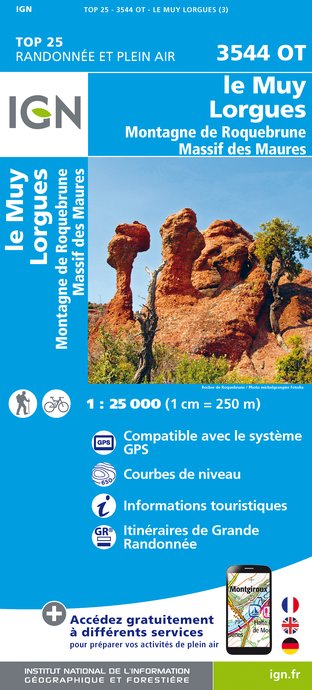
3544OT - LE MUY LORGUES MONTAGNE DE ROQUEBRUNE MASSIF DES MAURES
Editor : IGN
Collection : TOP 25 ET SÉRIE BLEUE
Scale : 1:25 000
13.90€
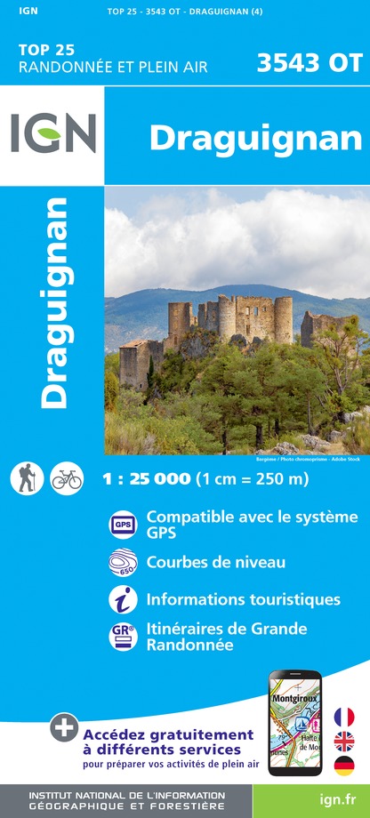
3543OT - DRAGUIGNAN
Editor : IGN
Collection : TOP 25 ET SÉRIE BLEUE
Scale : 1:25 000
13.90€

VEL06 - LE VAR A VELO
Editor : IGN
Collection : DECOUVERTE A VELO
Scale : 1:110 000
9.10€

TOP100D83 - VAR TOULON FRÉJUS MASSIFS DES MAURES ET DE L'ESTEREL PARC NATUREL RÉGIONAL DU VERDON
Editor : IGN
Collection : TOP 100
Scale : 1:100 000
8.40€

TOP100D06 - ALPES-MARITIMES NICE CÔTE D'AZUR PARC NATIONAL DU MERCANTOUR PNR DES PRÉALPES D'AZUR
Editor : IGN
Collection : TOP 100
Scale : 1:100 000
8.40€

D83 VAR
Editor : IGN
Collection : CARTES DÉPARTEMENTALES IGN
Scale : 1:150 000
5.90€

D06 ALPES-MARITIMES
Editor : IGN
Collection : CARTES DÉPARTEMENTALES IGN
Scale : 1:150 000
5.90€

NR16 PROVENCE-ALPES-CÔTE D'AZUR
Editor : IGN
Collection : CARTES RÉGIONALES IGN
Scale : 1:250 000
6.80€

EUROPE
Editor : IGN
Collection : DÉCOUVERTE DES PAYS DU MONDE IGN
Scale : 1:2 500 000
7.00€
What to visit in CAMPING DE LA FOUX
See more suggestionsWalk along the picturesque streets of CAMPING DE LA FOUX.
See more suggestions


Where to eat in CAMPING DE LA FOUX
See more suggestionsExplore the best dining spots in CAMPING DE LA FOUX.
See more suggestions


Where to sleep in CAMPING DE LA FOUX
See more suggestionsBook a pleasant stay in CAMPING DE LA FOUX.
See more suggestions

")
")


