Tours
Activities
Places of interest
Where to eat
Where to sleep
Experience BOIDELAC in Stunning Sournia, Pyrénées-Orientales
Are you the owner?Nestled within the breathtaking landscapes of the Pyrénées-Orientales, Sournia is the perfect destination for nature lovers and outdoor enthusiasts. From the BOIDELAC campsite, dive into a world of adventures and discoveries. Begin with the hiking trails; the surrounding hills offer routes for all levels, with panoramic views of the mountains and Mediterranean vegetation. History buffs will be fas...See more
")

")
 from Sorède to Argelès-sur-Mer")


What to do in BOIDELAC
See more suggestionsDiscover surprising activities in BOIDELAC and book the ones you like.
See more suggestions


IGN cards
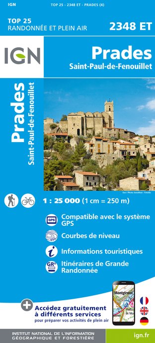
2348ET - PRADES SAINT-PAUL-DE-FENOUILLET
Editor : IGN
Collection : TOP 25 ET SÉRIE BLEUE
Scale : 1:25 000
13.90€
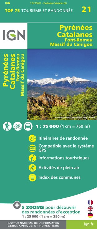
TOP75021 - PYRÉNÉES CATALANES FONT-ROMEU MASSIF DU CANIGOU
Editor : IGN
Collection : TOP 75
Scale : 1:75 000
9.80€

TOP100D11 - AUDE CARCASSONNE NARBONNE LIMOUX QUILLAN CANAL DU MIDI
Editor : IGN
Collection : TOP 100
Scale : 1:100 000
8.40€

TOP100D66 - PYRÉNÉES-ORIENTALES PERPIGNAN PRADES CÉRET CÔTE VERMEILLE PNR DES PYRÉNÉES CATALANES
Editor : IGN
Collection : TOP 100
Scale : 1:100 000
8.40€

D11-81 AUDE TARN
Editor : IGN
Collection : CARTES DÉPARTEMENTALES IGN
Scale : 1:150 000
5.90€

D09-66 ARIÈGE PYRÉNÉES-ORIENTALES
Editor : IGN
Collection : CARTES DÉPARTEMENTALES IGN
Scale : 1:150 000
5.90€

EUROPE
Editor : IGN
Collection : DÉCOUVERTE DES PAYS DU MONDE IGN
Scale : 1:2 500 000
7.00€


Where to eat in BOIDELAC
See more suggestionsFood enthusiasts will love BOIDELAC's restaurants.
See more suggestions


Where to sleep in BOIDELAC
See more suggestionsStay at one of the many hotels in BOIDELAC.
See more suggestions


")
