Tours
Activities
Places of interest
Where to eat
Where to sleep
Discover Le Gîte de l'Agly in Saint-Paul-de-Fenouillet
Are you the owner?Le Gîte de l'Agly is your gateway to a multitude of fascinating local activities and attractions. Nestled in the heart of Saint-Paul-de-Fenouillet in the Pyrénées-Orientales, our site offers the best of Languedoc-Roussillon. Begin by exploring the Gorges de Galamus, where a hike will take you through breathtaking landscapes and views. For adrenaline seekers, canyoning in these gorges is a must. Vi...See more
Walking around LE GITE DE L'AGLY
See more suggestionsDiscover the nature of LE GITE DE L'AGLY on foot.
See more suggestions")

")


What to do in LE GITE DE L'AGLY
See more suggestionsFind the best activities in LE GITE DE L'AGLY and book easily online.
See more suggestions


IGN cards
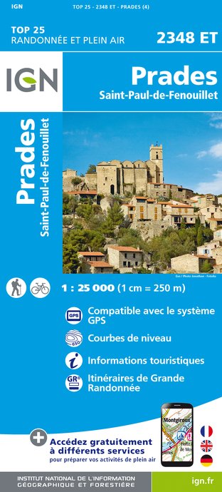
2348ET - PRADES SAINT-PAUL-DE-FENOUILLET
Editor : IGN
Collection : TOP 25 ET SÉRIE BLEUE
Scale : 1:25 000
13.90€
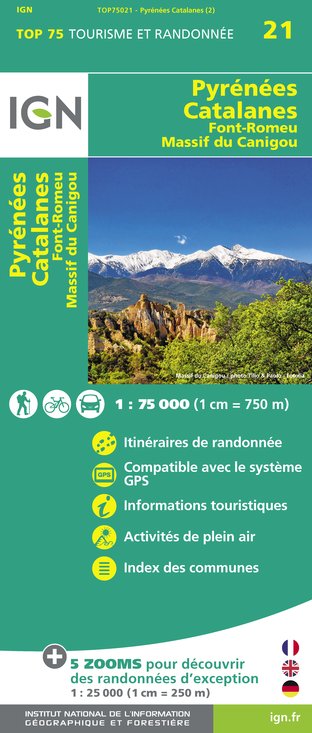
TOP75021 - PYRÉNÉES CATALANES FONT-ROMEU MASSIF DU CANIGOU
Editor : IGN
Collection : TOP 75
Scale : 1:75 000
9.80€

TOP100D11 - AUDE CARCASSONNE NARBONNE LIMOUX QUILLAN CANAL DU MIDI
Editor : IGN
Collection : TOP 100
Scale : 1:100 000
8.40€

TOP100D66 - PYRÉNÉES-ORIENTALES PERPIGNAN PRADES CÉRET CÔTE VERMEILLE PNR DES PYRÉNÉES CATALANES
Editor : IGN
Collection : TOP 100
Scale : 1:100 000
8.40€

D11-81 AUDE TARN
Editor : IGN
Collection : CARTES DÉPARTEMENTALES IGN
Scale : 1:150 000
5.90€

D09-66 ARIÈGE PYRÉNÉES-ORIENTALES
Editor : IGN
Collection : CARTES DÉPARTEMENTALES IGN
Scale : 1:150 000
5.90€

EUROPE
Editor : IGN
Collection : DÉCOUVERTE DES PAYS DU MONDE IGN
Scale : 1:2 500 000
7.00€
What to visit in LE GITE DE L'AGLY
See more suggestionsEngage in outdoor activities in LE GITE DE L'AGLY.
See more suggestions


Where to eat in LE GITE DE L'AGLY
See more suggestionsFood enthusiasts will love LE GITE DE L'AGLY's restaurants.
See more suggestions


Where to sleep in LE GITE DE L'AGLY
See more suggestionsFind lodging to suit your needs in LE GITE DE L'AGLY.
See more suggestions


")
