Alert
Alerts
Canopée des Cîmes walking loop
IGN cards


Description
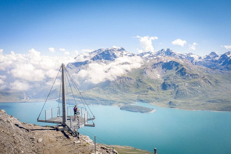
Let yourself be transported effortlessly and enjoy an easy ride perched at an altitude of 2750 metres. There's no better way to open your eyes without limits. A summit meeting to overlook the Val Cenis resort in total freedom.
After two successive lifts, you're parachuted into the mineral atmosphere of Le Solert in just a few minutes. Culminating at over 3,377 metres, the impressive north face of the Grand Mont Cenis signal is revealed in all its glory. Once you've cast a fascinated glance at it, enjoy a climb punctuated by various viewpoints on easy switchbacks. Proudly reach the Col de la Met. A breath of fresh air is guaranteed at an altitude of 2800 metres. The dream becomes reality: a bird's-eye view of Lake Mont Cenis and the Italian peaks! Turn around calmly...the Vanoise glaciers face you. Are you feeling the exhilaration of the peaks? On a strong Lombardy day, it's best to postpone this exceptional trip. The descent to the ski area lets you imagine the wide-open spaces of winter. So much rock in summer for so much snow in winter... No doubt about it, this is the magic of the wide open spaces of Haute Maurienne Vanoise.
Technical Information
Altimetric profile
Starting point
Points of interest


Additional information
Open period
From 15/05 to 15/10 daily.
Accessible by ski lift in summer.
Subject to favorable snow and weather conditions.
Updated by
Communauté de communes Haute Maurienne Vanoise - 01/09/2025
www.cchautemaurienne.com
Report a problem
Environments
Near shuttle stop
Mountain view
Mountain location
Close to a public transportation
Contact
Phone : 04 79 05 99 06
Email : info@hautemaurienne.com
Website :
https://www.haute-maurienne-vanoise.com
http://www.cchautemaurienne.com/jy-vais-en
Type of land
Ground
Grit
Location complements
By bus: Line S53 - stop at Télécabine du Vieux Moulin
By car: Large parking lot in front of the gondola.
Topo guides and map references
Topo guides references :
Map and booklet "Haute Maurienne Vanoise. 115 walks and hikes - 35 trail routes. For all levels" (sold for €10 in Tourist Offices) - Green route n°11
Map references :
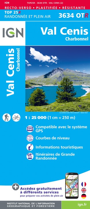
Map IGN 3634OT - Val Cenis
Reception complements
The duration of hiking trails is calculated using reference paces: 300 m/h ascent, 500 m/h descent and 4 km/h on the flat.
As hazards may occur at any time on the routes, the GPX tracks provided are not contractual. They are given for information only. Riders use them at their own risk, depending on their level of technological proficiency and their understanding of the terrain.
Guidebook with maps/step-by-step
To guide you in the field, consult the "step-by-step" directional diagram provided in pdf.
Animals
Yes. Ski lift not accessible to pets to access the hike.
Pets allowed on leash only on the trail.
Data author
