Alert
Alerts
Rontignon - Sentier des Crêtes


Description
If you want to feel at the end of the world a few kilometers from Pau, try this loop.
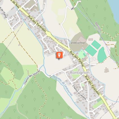
Departure: Stadium car park - 1, rue des écoles - Rontignon
Yellow Pedestrian Marking (n°8)
Technical Information
Altimetric profile
Starting point
Steps
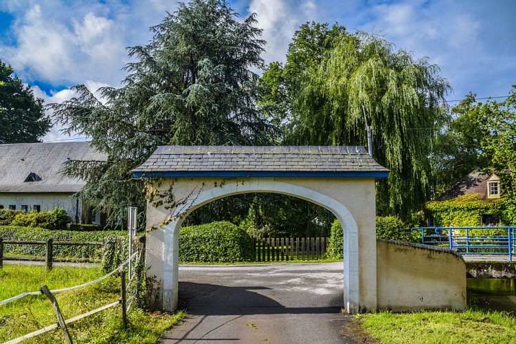
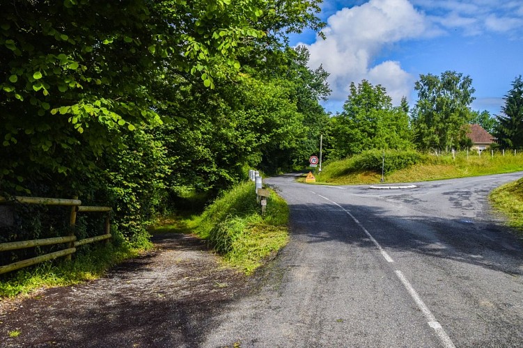
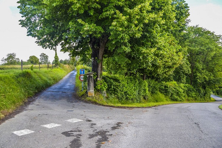
Points of interest


Additional information
Balisage
Yellow
pédestre
Typologie de l'itinéraire
Loop
Equipements
Picnic area
Thèmes
Natural
Contact
Fixed telephone : +33 5 59 27 27 08
Pau Pyrénées Tourisme
Web site (URL) : www.rando-pau.com
e-mail : contactrandos@tourismepau.fr
