To see around
See more
Open
Close
Show
Show
Show
Show
Show
Show
Show
Show
Show
Show
Show

Oups... It would appear that Cirkwi does not have permission to use your location.

Description
Map
Ratings and reviews
See around

Departure - Stadium car park

photo-rando-rontignon-sentier-des-cretes1-2
Credit : Pau Pyrénées Tourisme / LA

Description

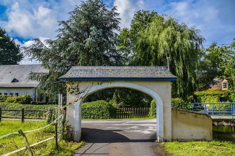
Pass under the car park entrance porch and turn right on the footbridge.
Continue on the road until the traffic light, cross at the pedestrian crossing and go straight on rue du Vieux Bourg.
At the cross, turn left.
At the end of the street, turn right onto rue de l'Eglise towards Hameau de Rontignon.
When the road begins to rise, take the chemin de Lasbouries in the bend, in the direction of “La ronceraie”. Continue on this road for 1km.
At this level the road forms 2 bends, the first on the left and the second on the right.
After 300m the road forms a fork, keep to the left. Continue to a second fork, at the end of the asphalted road.
Go left on the track that goes up (block of stone). The track becomes paved, continue to its highest point. Then the road descends to the sign "Cédez le Passage". Turn right.

Technical Information

Lat, Lng
43.2615-0.32868
Coordinates copied
Altitude
-99999 m
Uncertain state
Point of Interest updated on 01/01/1970
This point of interest hasn't been updated recently, which could compromise the reliability of this information. We recommend that you inquire and take all necessary precautions. If you're the author, please verify your information.

Altimetric profile

Ratings and reviews

To see around
See more
Open
Close
Show
Show
Show
Show
Show
Show
Show
Show
Show
Show
Show
Caution!
We have no information on the difficulty of this circuit. You may encounter some surprises along the way. Before you go, please feel free to inquire more and take all necessary precautions. Have a good trip! 🌳🥾