Alert
Alerts
The Collet de la Salcette (trail route no. 10)
Description
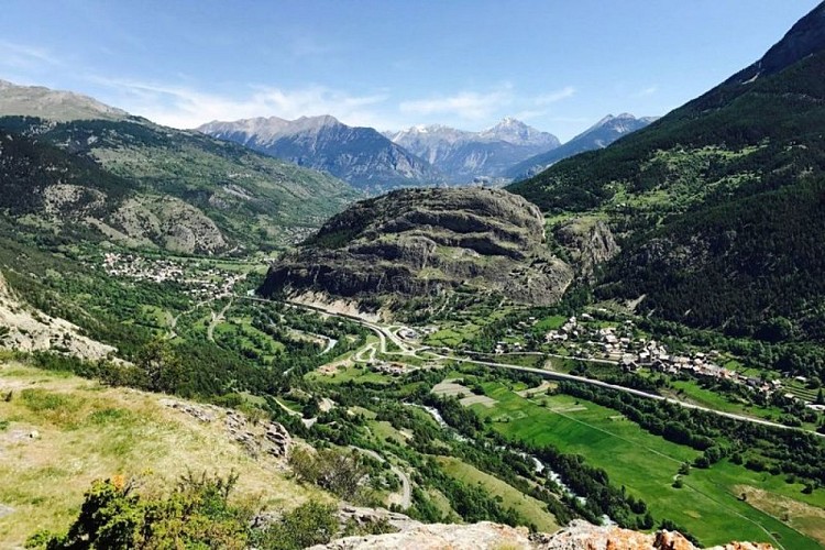
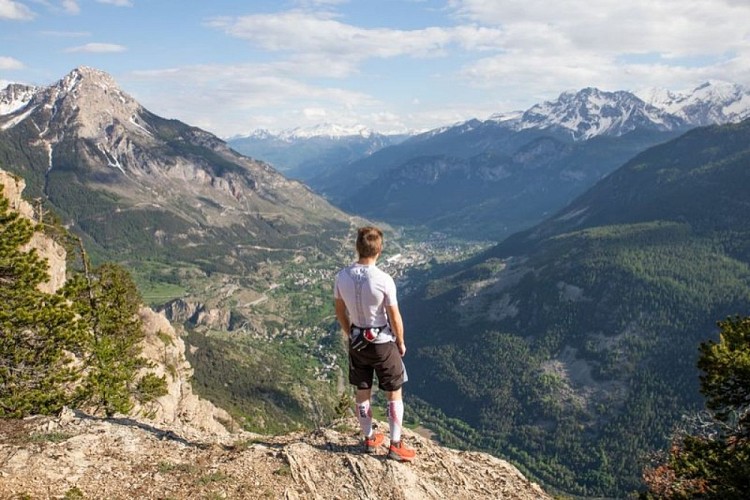
A beautiful trek first through forest and then rising to the bottom of the foothills of the Montbrison massif!
From the Le Courounba campsite, head for Le Pont du Rif at the bottom end of the village of Les Vigneaux and, from here, follow the road towards Briançon.
1.5 kilometres after leaving the village, take the path on the left leading to La Rourée and Bouchier. It leads uphill through a forest of Scots pines and oak trees before dropping gently and coming to a winding bend in the track leading to Bouchier.
Follow the path on the left leading directly below the hamlet. Turn right and carry on along a forested track, heading due north towards La Bletonnée along a flat uphill section.
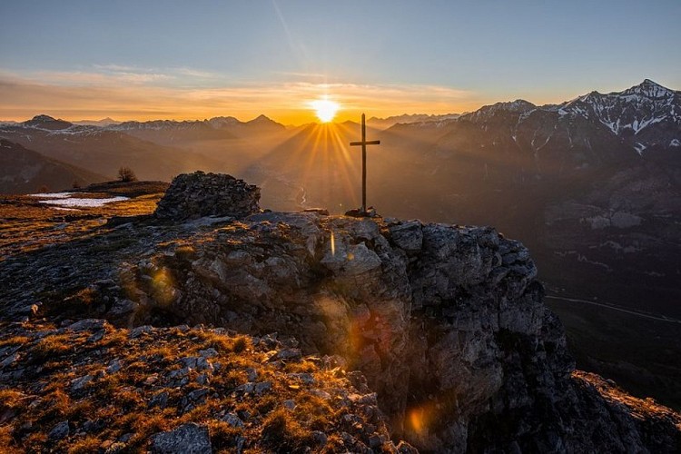
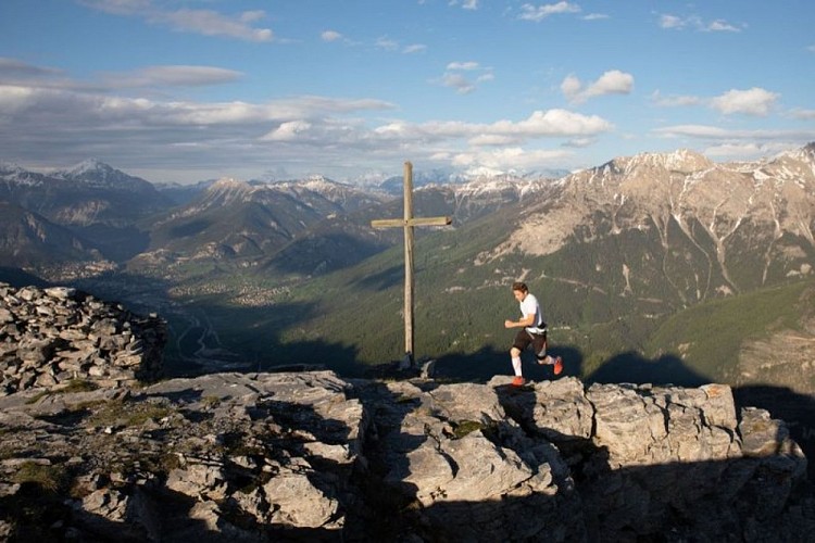
After the few houses, take a steep path which follows the left-hand bank of the mountain stream La Combe, and crosses it further up. The slope becomes less steep and leads up through the north-facing combe to a grassy plateau where the Croix de la Salcette stands.
The descent is along a steep path following the southern ridge.
At a fork in the path, leave the ridge to descend directly to the right towards Le Périllas and Les Vigneaux. Lower down, the path comes to the pine forest again and culminates at the top end of the village. Make your way back to Le Pont du Rif and your starting point.
Technical Information
Altimetric profile
Starting point
Points of interest


Additional information
Public transport
Public transport >> www.pacamobilite.fr Consider car-sharing >> www.blablacar.frfor more information, ask at the Tourist Information Office nearest to the trail starting point.
Advice
Before setting off, it is very important to check the opening periods for this route on the website: stationdetrail.com/fr/stations/le-pays-des-ecrins/parcours Share your photographs on social networks with #stationdetrailecrins Check weather conditions before setting off. Rescue services contact details: Secours Montagne (Mountain Rescue): +33 (0)4 92 22 22 22 or 112 Show consideration for the work of farmers, livestock keepers and owners Close all gates behind you Take your litter home Do not take shortcuts across pastureland The trail routes are also suitable for walking
Advised parking
Camping le Courounba car park, Les Vigneaux
Access
10 km from L'Argentière-La Bessée, take the D994E.
Arrival
Camping du Courunba, Les Vigneaux
Ambiance
“When you leave the forest and enter the rather hidden little valley, going past Les Tenailles, you almost feel as if you are at the end of the world. Then you come to the Collet de la Salcette and you feel as if you are on top of it!“ Marie-Geneviève,park ranger at the Parc National des Écrins
Departure
Camping du Courunba, Les Vigneaux
Data author
