Alert
Alerts
The Grande Traversée des Hautes-Alpes (GTHA) in the Pays des Écrins


Description
A sensational circuit which crosses the territory of the Pays des Écrins from north to south.
Technical Information
Altimetric profile
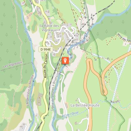
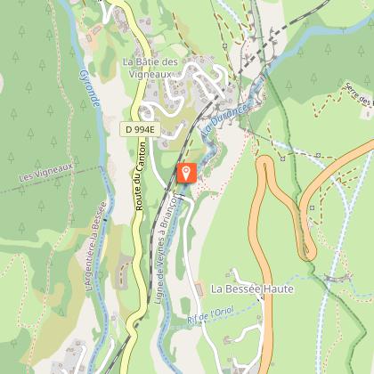
Starting point
Points of interest


Additional information
Advice
Rescue services contact details: Secours Montagne (Mountain Rescue): +33 (0)4 92 22 22 22 or 112 Show consideration for the work of farmers, livestock keepers and owners Close all gates behind you Take your litter home Do not take shortcuts across pastureland
Public transport
Public transport >> www.pacamobilite.frconsider car-sharing >> www.blablacar.fr For more information, ask at the Tourist Information Office nearest to the trail starting point>> www.paysdesecrins.com
Ambiance
The GTHA is the highest medium-altitude mountain bike route in France. It starts in La Grave-Villar d'Arène and ends in Laragne-Montéglin, thus taking you through 50 kilometres of the territory of the Pays des Écrins. Along the way you will get to know the territory and its communities through its remarkable landscapes and heritage. So, all you need to do is jump on your bike and set off on the adventure.For more information on the GTHA itinerary, visit the Département des Hautes-Alpes website .
Arrival
Torrent de Bouffard towards Lauriberne, Champcella
Departure
Rocher de Roure, Puy-Saint-André
Data author
