Alert
Alerts
Type of practice
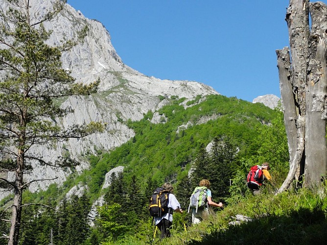
Walking
Hard
5h10mn
Presentation
Description
Map
Steps
Points of interest
Ratings and reviews
See around
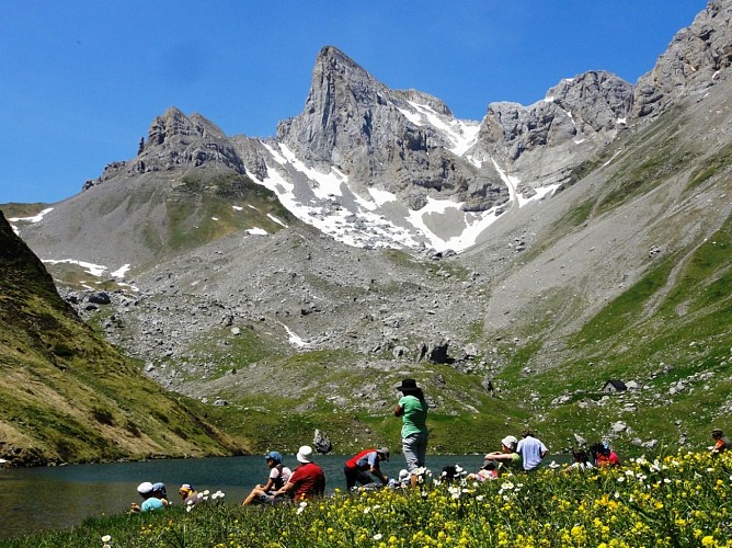
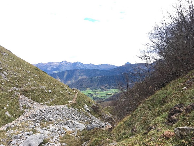
N°51 Cabane et Lac de Lhurs


Description
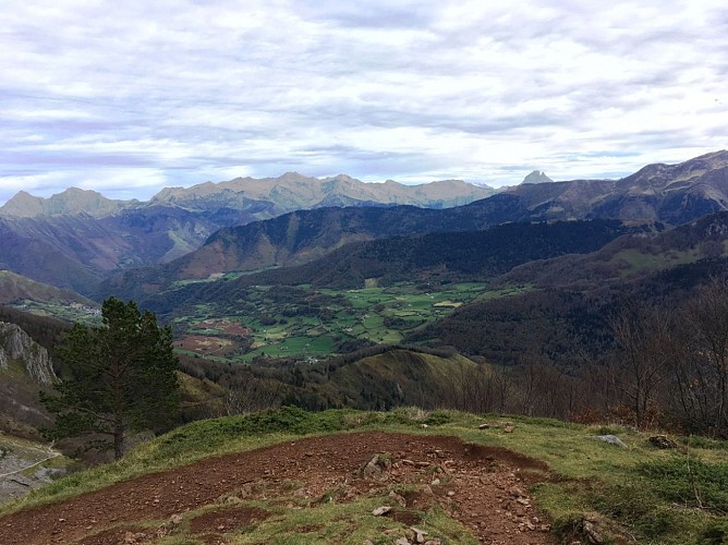
A secret lake in a lost cirque, a lush haven in the midst of a mineral world... You couldn't imagine all this when you start out on this route. The trail starts on a great piste and runs through very different settings then, when you least expect it, the lake appears!
Technical Information
Walking
Difficulty
Hard
Duration
5h10mn
Dist.
11 km
Type of practice
Walking
Hard
5h10mn
Show more
Altimetric profile
Starting point
Parking Anapia
,
64490
LESCUN
Lat : 42.9275912Lng : -0.6599516
Steps
Points of interest


Additional information
Balisage
Yellow
Trait
Typologie de l'itinéraire
Return
Equipements
Picnic area
Water point
Thèmes
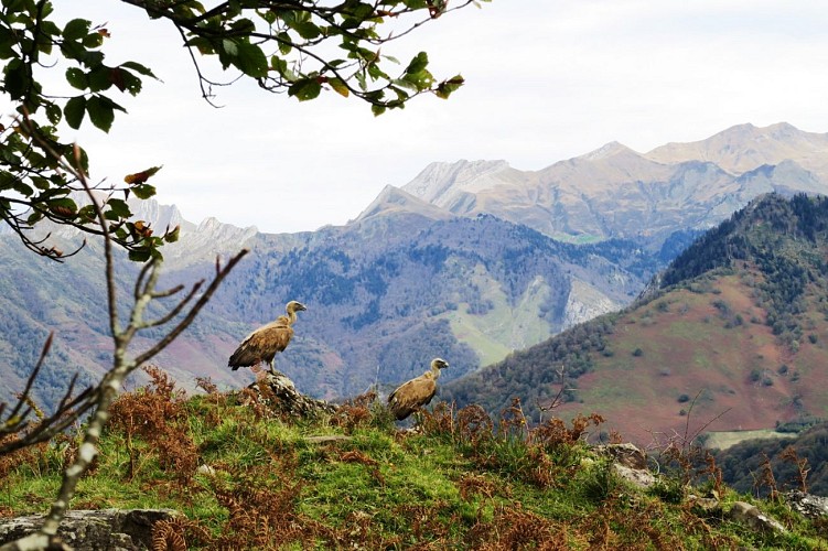
Natural
Data author

proposed by
Communauté de Communes du Haut-Béarn
12 place Jaca 64400 Oloron-Sainte-Marie Cedex France
Ratings and reviews
To see around