Alert
Alerts
Description
Map
Ratings and reviews
See around
Path
Description
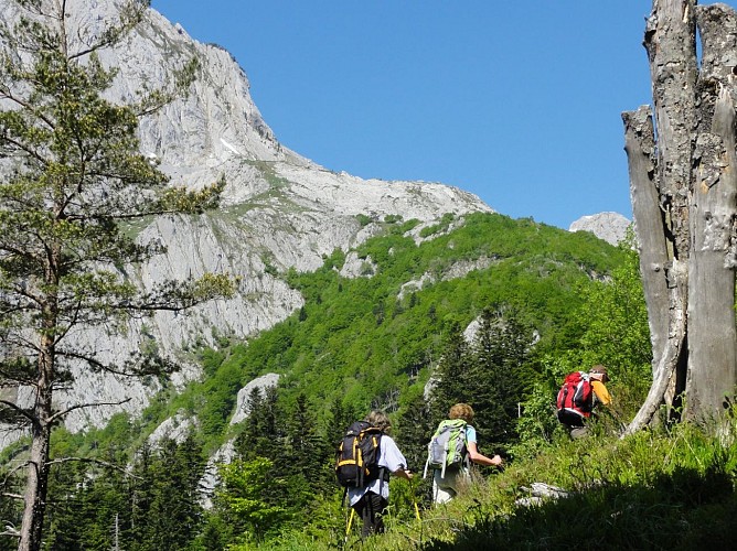
Take the path on the left that goes along the ridge line then crosses a hillside clearing. The track is once again covered and goes up to the right before a few bends get you back onto the piste. This section doesn't appear on the IGN map so don't go onto the old path (still on the map). Cross the thalweg and the terrain gets very pebbly and runs along large paving stones.
Technical Information
Lat, Lng
42.92093-0.67931
Coordinates copied
Uncertain state
Point of Interest updated on 01/01/1970
This point of interest hasn't been updated recently, which could compromise the reliability of this information. We recommend that you inquire and take all necessary precautions. If you're the author, please verify your information.
Altimetric profile
Data author

proposed by
Communauté de Communes du Haut-Béarn
12 place Jaca 64400 Oloron-Sainte-Marie Cedex France
Ratings and reviews
To see around