Alert
Alerts
Type of practice
Walking
Hard
6h30mn
Presentation
Description
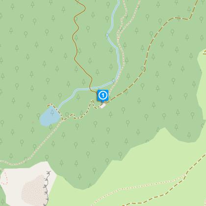
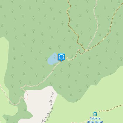
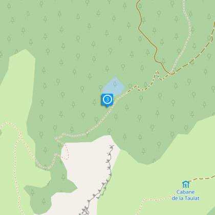
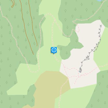
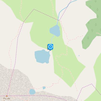
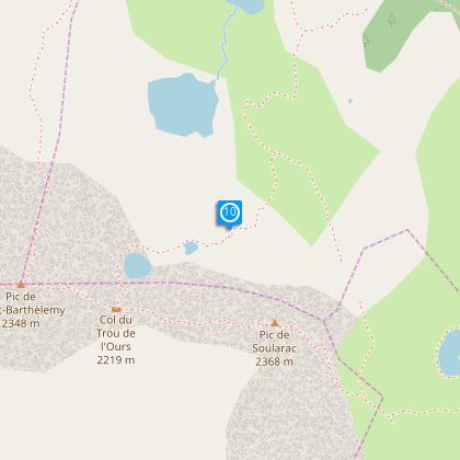
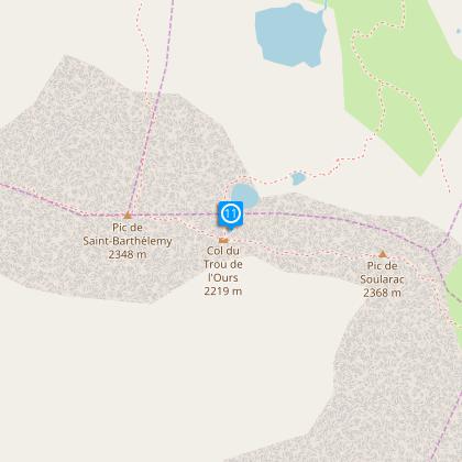
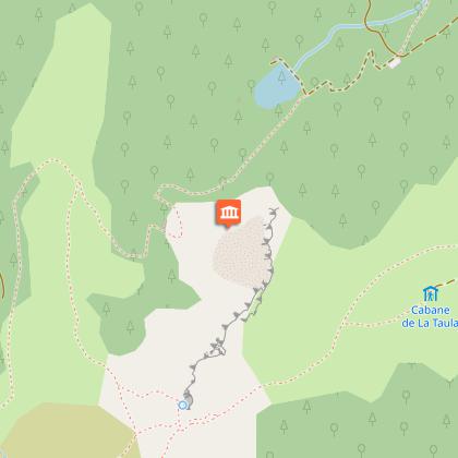
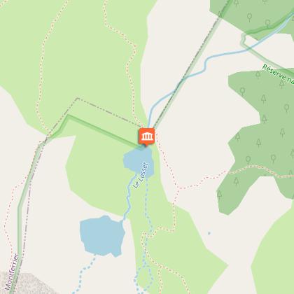
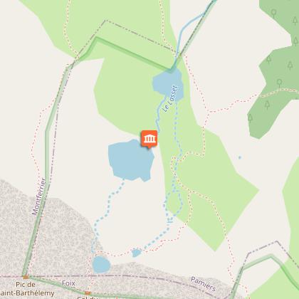
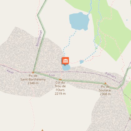
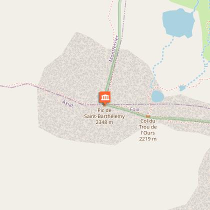
Map
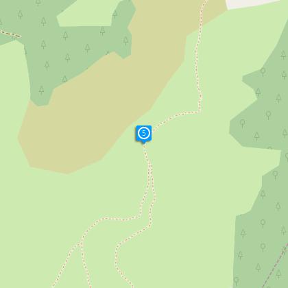
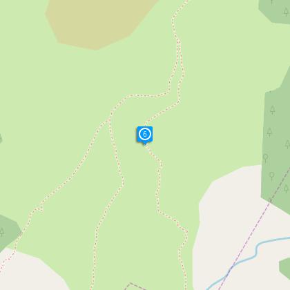
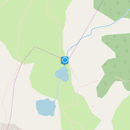
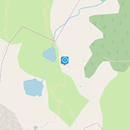
Steps
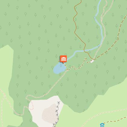
Points of interest
Ratings and reviews
See around
Le Pic Saint Barthélemy


Description
This trekking route takes you to the highest point of the Massif de Tabe . It is best known peaks with lakes, trout, the devil and higher.
Technical Information
Walking
Difficulty
Hard
Duration
6h30mn
(1d)
Dist.
15 km
Type of practice
Walking
Hard
6h30mn
Show more
Altimetric profile
Starting point
Le Fangas et la Porteille
,
09300
Montferrier
Lat : 42.86082Lng : 1.79366
Steps
Points of interest
Additional information
To see
Lakes
The Isards
Eagles
Mouflons
Data author

proposed by
Office de Tourisme des Pyrénées Cathares
3 place Albert Gabarrou 09300 Lavelanet France
Ratings and reviews
To see around