Alert
Alerts
Aiguille path

Description
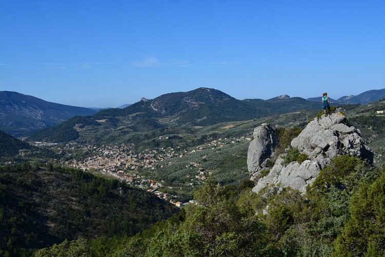
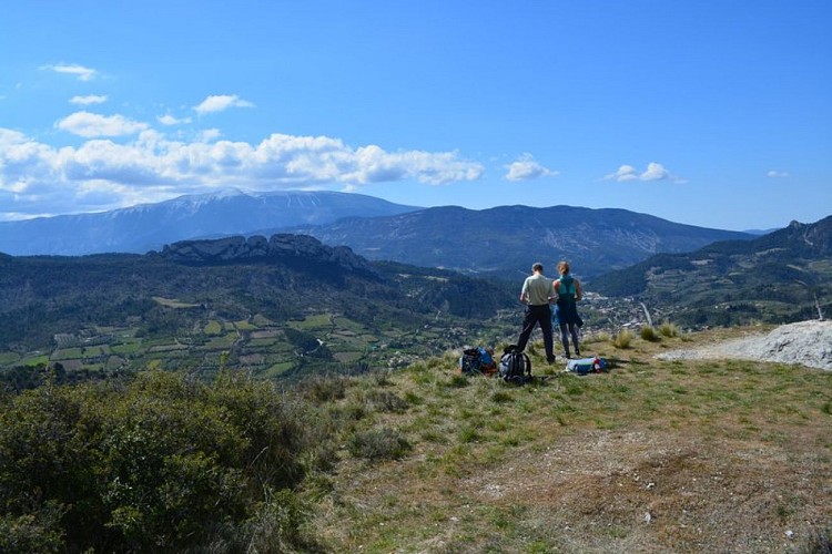
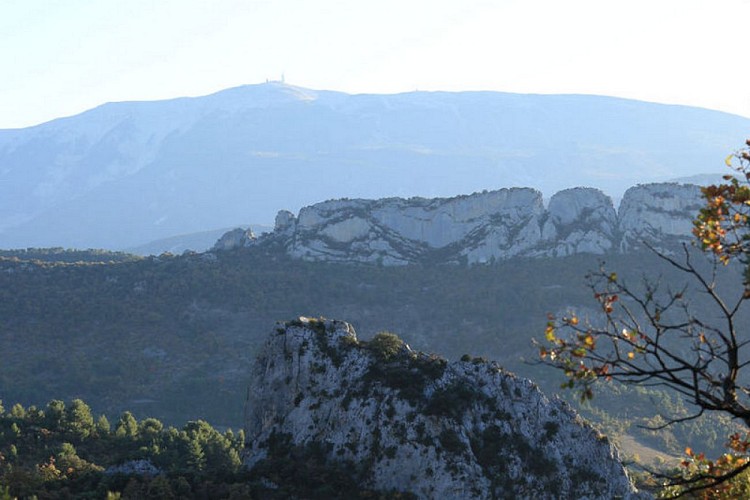
A concentrate of Baronnies in less than 2 hours of walking! The best for family outings. Garrigue atmosphere and views of Mont Ventoux!
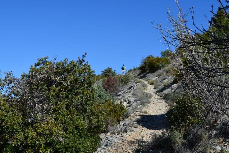
From the center of the village, reach on foot or by car the car park in front of the holiday center of the Annibal fountain.1 - Go up Cherry Alley, cross the D 546, turn left 50 m then right onto a tarmac road that rises along an orchard of olive trees. At the top of the olive grove, turn left on the dirt track. The slope becomes steeper, continue for 200 m until you reach the 2nd slope of the trail, from where a trail leads to the right.2 - Leave the track on the left and turn right on the start of the small path. Go up and climb the laces in the pine forest to gain height until crossing at the foot of the East ridge of the Rocher de l'Aiguille.3 - Go up to the directional sign and then leave the crest trail to take the path on the left going down into the Bourges valley. After two pins, cross the small stream and go up on the left path that crosses the adret side of the valley to join the crossroads with another path.4 - Turn right to and up this path, past the ruins of Jas du Blanc and continue until you reach the collar on the ridge.5 - Optional access to and from the ruins of Ubrieux Castle: be careful, steep path passing near the void, reserved for good hikers. For families, go down the climb path again passing the Jas du Blanc to return to point 4.6 - Continue the descent straight on the path back to Buis-les-Baronnies. Join the trail along the olive groves and go down to find the way to go. Return by the same route.
Technical Information
Altimetric profile
Starting point
Points of interest


Additional information
Advised parking
BUIS-LES-BARONNIES - Parking du Quai de l'Ouvèze, devant la Fontaine d'Annibal
Advice
In point 5: Attention, the platform of the Ubrieux castle ruins is on the edge of cliff. Reserved access to good hikers, non-subjects to vertigo.
Access
Buis-les-Baronnies, 25 km east of Vaison-la-Romaine by the D 938 (direction Malaucène), D 54, D 13 and D 5.
Ambiance
"With its starting path in the middle of olive groves and its path that passes on both sides of the Rock of Aiguille, this hike for young and old gives to see all the Provencal character of the Baronnies. The path climbs a little at the beginning but is really worth it, especially when one enters the ravine of Bourges. The view on Buis is really unique! "Vincent Aubert, technician of nature sports to the Baronnies of Provence RNP.
Arrival
Annibal fountain ; Buis-les-Baronnies
Departure
Annibal fountain ; Buis-les-Baronnies
