Alert
Alerts
Traversée des Bauges de lac à lac - 5-day hike


Description
5 days from lake to lake, starting on Lake Annecy itself! An early start to reach the Bauges on the first evening. The Chéran, a "Rivière Sauvage", and the Lac d'Aix-les-Bains complete this discovery of the waters of the Bauges massif.
Technical Information
Altimetric profile
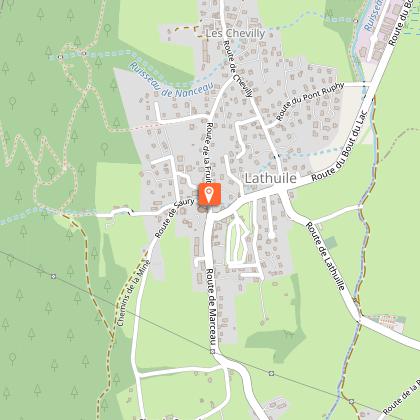
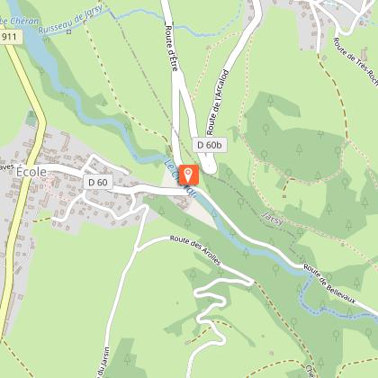
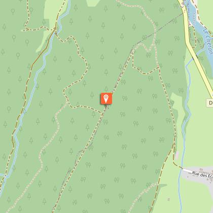
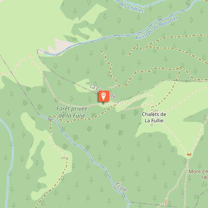
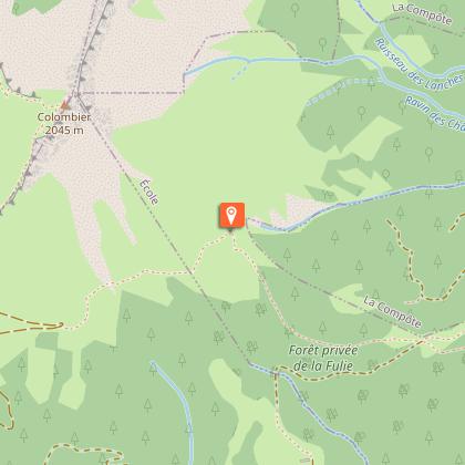
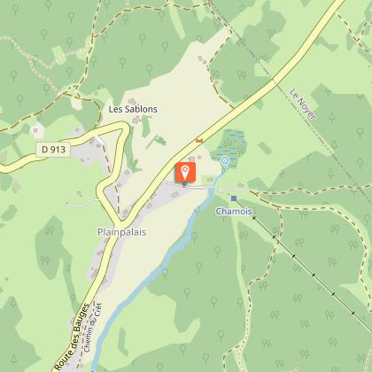
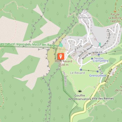
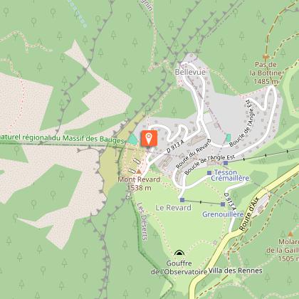
Starting point
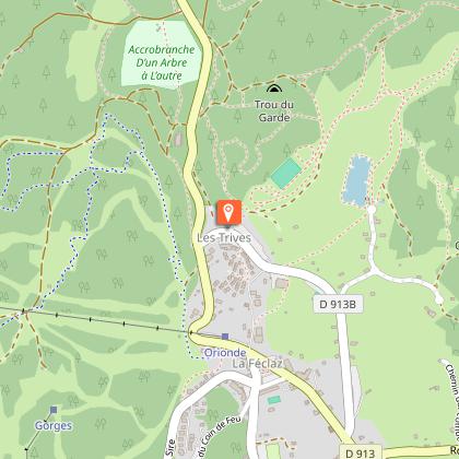
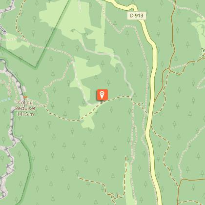
Steps
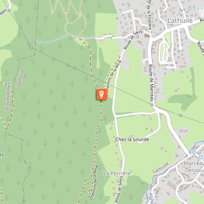
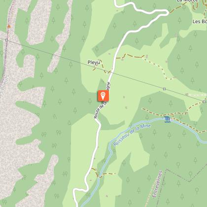
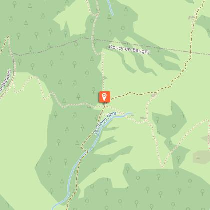

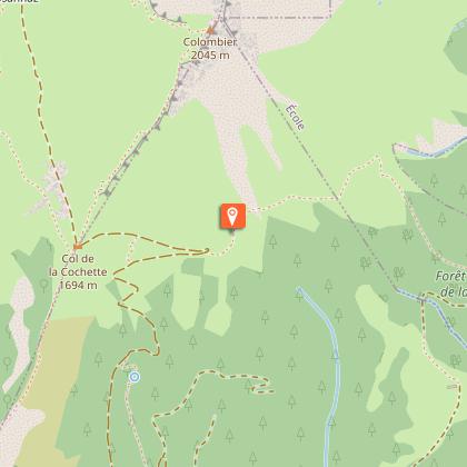
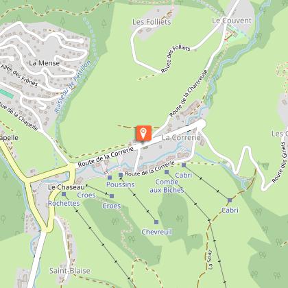
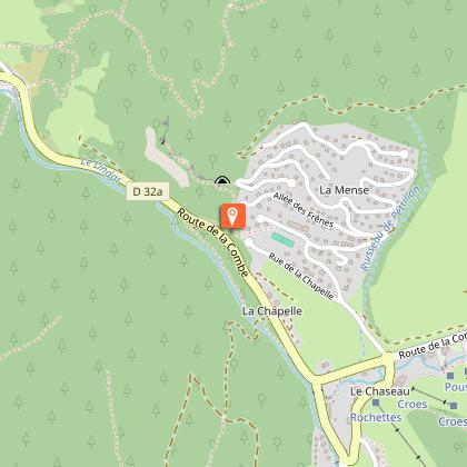
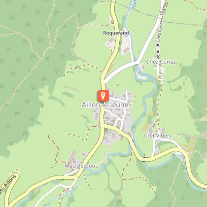
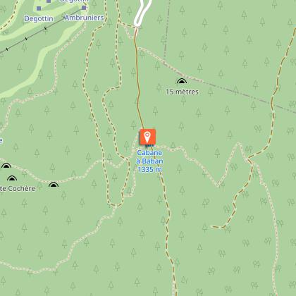
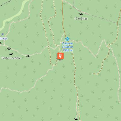
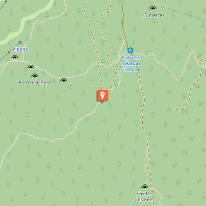
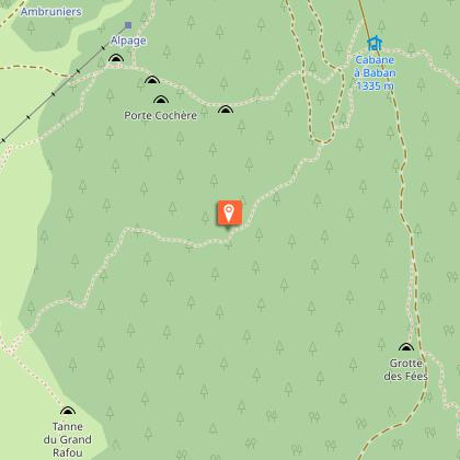
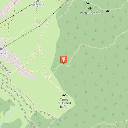
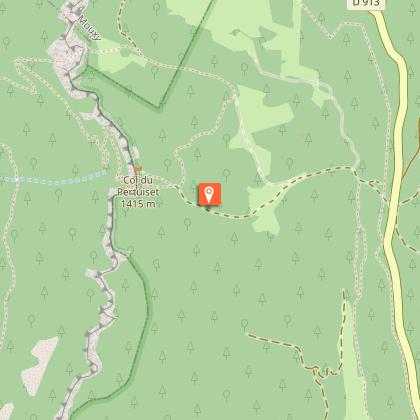
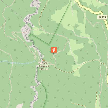
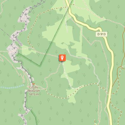
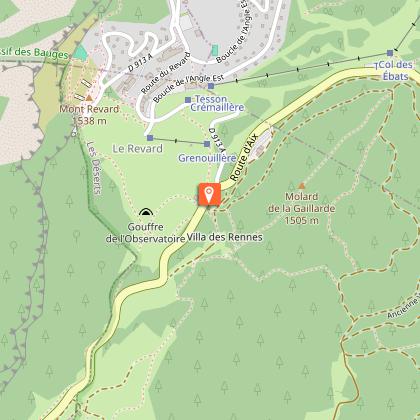
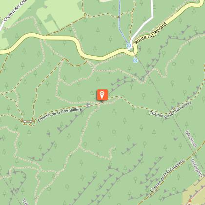
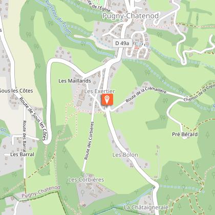
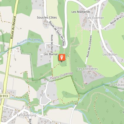
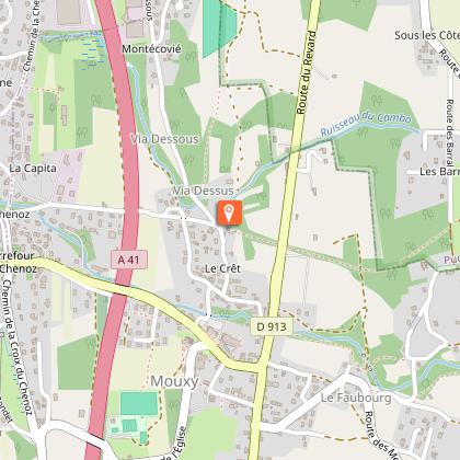
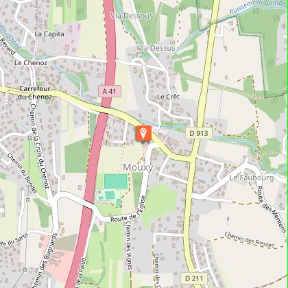
Points of interest


Date and time
- From 01/06/2026 to 30/09/2026
- From 01/06/2027 to 30/09/2027
Additional information
Contact
Phone :
04 79 54 86 40
04 79 33 42 47
Email :
accueil.chambery@chamberymontagnes.com
info@parcdesbauges.com
Website :
https://www.chamberymontagnes.com
http://www.parcdesbauges.com
Open period
From 01/06 to 30/09.
Location complements
Departure from Annecy - le port
Type of land
Stone
Ground
Not suitable for strollers
Topo guides and map references
Topo guides references :
Topoguide FFR n°902 Tours and crossings of the Bauges massif
Map references :
IGN Top 25 - 3432OT Massif des Bauges
IGN Top 25 - 3332OT Chambéry
IGN Top 25 - 3431 OT Annecy
Updated by
Agence alpine des territoires - 03/03/2026
www.agate-territoires.fr
Report a problem
Guidebook with maps/step-by-step
1/ DAY 1: Annecy (boat link to Doussard) - Bellecombe en Bauges / Duration: 5h50 / D+ 981 m / D- 404 m / Distance: 15 km / Difficulty: Red
2/ DAY 2: Bellecombe - Jarsy / Duration: 4h30 / D+ 403 m / D- 575 m / Distance: 11 km / Difficulty: Blue
3/ DAY 3: Jarsy - Aillon le jeune / Duration: 6h / D+ 1025 m / D- 983 m / Distance: 16.6 km / Difficulty: Red
4/ DAY 4: Aillon le jeune - la Féclaz / Duration: 7h / D+ 1293 m / D- 868 m / Distance: 19 km / Difficulty: Red
5/ DAY 5: La Féclaz - Aix les bains / Duration: 5h40 / D+ 200m / D- 1250 m / Distance: 16.5 km / Difficulty: Blue
Data author
