Alert
Alerts
Walking itinerary : Le chemin des Rosaires
Description
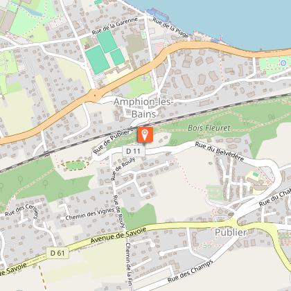
One of the Boucles du Coteau de Publier trails: a pleasant stroll that takes you from the commune's main town to the lakeside. Mainly in shady undergrowth, you'll follow the red triangle of the local signposting along the way.
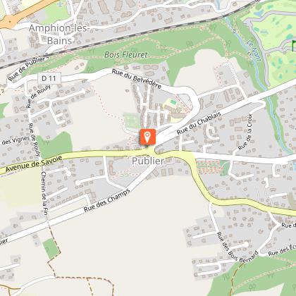
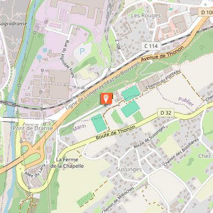
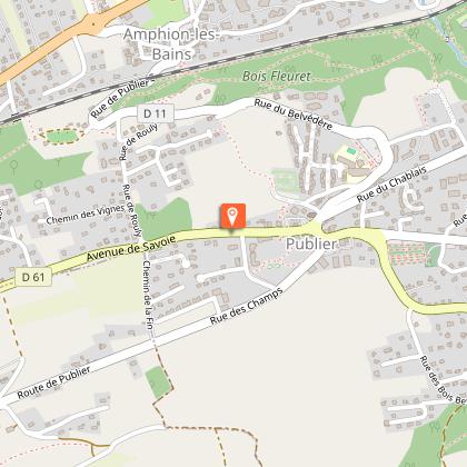
Departure point: Car park at Belvédère and Source Farquenoud in Publier. (Belvédère Eva'd bus stop line 3)
Departure possible from the Eglise and the Chef-Lieu of Publier (disc zone parking) or Publier Eglise bus stop lines 3 and 12 Eva'd.
From the Farquenoud belvedere, you'll find the Souriane spring where Evian natural mineral water flows, with a lovely view of Lake Geneva. Head back up towards the main town, passing through fields and vegetable gardens. You can make your first stop at the Publier church.
The path then descends into the undergrowth, crossing the Nant with the pretty bridge "sur le Nant", and descending again along a wide path to the railroad line, which you have to cross.
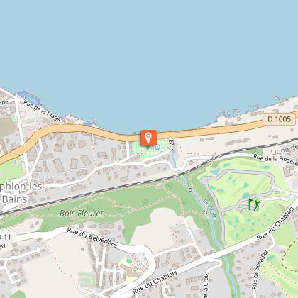
Reach the lakeside via Parc Maxima with its ferruginous spring and century-old trees. We recommend a break by the lake.
At the landing stage, you reach the old village, pass through the passage de l'Abbé Chipier, a small tunnel under the railroad line, then climb up to Crochet.
You pass the Crochet orchard and follow the path through the undergrowth that runs alongside the tracks. Pass through woods and fields with a herd of sheep in the Châtaigneraie.
Crochet and a short detour to the Chapelle Saint-Etienne on the Blonay estate. (pass between the soccer pitches).
Return along the higher path, passing fields and greenhouses and several remarkable trees before reaching the Buvette de Farquenoud lookout.
Technical Information
Altimetric profile
Starting point
Points of interest

Additional information
Updated by
Office de Tourisme Leman Mountains Explore - 15/07/2026
leman-mountains-explore.com
Report a problem
Environments
Lakeside or by stretch of water
Town location
Waterside
Presence of livestock and guard dogs
In the country
Lake view
Open period
All year round daily.
Accessible outside the snowy period and depending on the weather conditions. Please check with the Tourist Office beforehand to find out the current access conditions.
Contact
Phone : 04 50 70 00 63
Email : publier@ot-peva.com
Website : https://leman-mountains-explore.com
Topo guides and map references
Topo guides references :
IGN TOP 25 map no. 3528 ET - Morzine & Massif du Chablais (on sale at tourist information offices)
Map references :
Sign Les Boucles du Coteau Publier
Type of land
Ground
Hard coating (tar, cement, flooring)
Grit
Suitable for all terrain strollers
Location complements
Departure from Belvédère de la Buvette de Farquenoud (parking lot).
Bus stop Belvédère line 3 Eva'd
(departure also possible from Chef-lieu de Publier, bus stop Eglise de Publier lines 3 and 12 Eva'd)
Animals
Yes. Leashed pets only, due to the presence of herds.
