Alert
Alerts
GR® de Pays - Grand Tour de la Valserine
1 alert on this circuit
Visitor alert
> Protection dogs: this route crosses or passes close to mountain pastures and/or summer pastures potentially protected by dogs against the wolf. Consult the interactive Ma Patou map and learn how to behave: www.pasto-kezako.fr/ou-sont-les-chiens-de-protection-2/
> Faulty signposting, safety incidents, conflicts of use, illegal dumping? Locate and share the problem you encounter on the national alert system via the SURICATE app or the sentinelles.sportsdenature.fr/ website.
Description
This GR® de Pays visits the Retord plateau, then takes you to the highest commune in the Ain department: Giron. Then follow the crest of the Haute Chaine jurassienne, a balcony overlooking Lake Geneva, before finishing where it all began: at Valserhône.
Set off on an adventure on our GR de Pays: Le Grand Tour de la Valserine.
Hiking the Grand Tour de la Valserine is an adventure in the Jura, away from the crowds of the Alps and off the beaten track in unspoilt countryside.
You quickly leave the city behind and gradually gain height before reaching the vast expanses of the Plateau de Retord. At Catray, you'll get a good overview of the road ahead and, if you're lucky, a magnificent panorama of the Alps and their star: Mont Blanc. If you set off in spring, daffodils and narcissi will embellish your route!
Then head for the other side of the Jura mountains, passing through the highest commune in the Ain department, Giron, at an altitude of 1,000 metres. You'll pass through places steeped in history, such as La borne au Lion, where the more courageous can take a detour via the famous Crêt de Chalam!
The Monts Jura resort, in the village of Lélex, will welcome you as you prepare to climb the highest peaks in the Jura: Crêt de la Neige (1720 m), Reculet (1717 m) and Crêt de la Goutte (1621)! You'll cross the Haute-Chaîne du Jura National Nature Reserve, a veritable balcony overlooking breathtaking scenery. You'll be overlooking Lake Geneva, and of course you'll be able to admire all the ground you've covered on this grand tour - something to make you proud!
After a well-deserved break at the Menthières site, you'll return to the Valserine valley, with its wild river, to finish in style with a passage through the Pertes de la Valserine, where the river winds its way through canyons before reappearing further on.
Finally, return to your starting point: Valserhône.
Good to know - Protected area
Part of the route passes through the Haute Chaîne du Jura National Nature Reserve, which is subject to special regulations:
Dogs are not allowed, even on a lead.
Bivouacs in tents are prohibited.
Please respect these rules to preserve the richness of this exceptional environment.
Technical Information
Altimetric profile
Starting point
Points of interest


Date and time
- From 01/01/2026 to 30/11/2026
- From 01/01/2027 to 30/11/2027
Additional information
Open period
From 01/01 to 30/11 daily.
Subject to there being no snow.
Subject to favorable weather.
Updated by
Aintourisme - 19/05/2026
www.ain-tourisme.com
Report a problem
Environments
Panoramic view
Mountain location
Contact
Phone : 04 50 48 48 68
Email : tourisme@terrevalserhone.fr
Website : https://www.terrevalserhone-tourisme.fr/
Type of land
Stone
Ground
Hard coating (tar, cement, flooring)
Grit
Location complements
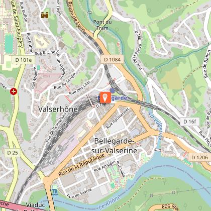
Departure and arrival in front of Bellegarde train station.
Accessible by TGV (2h37 from Paris) or A40 freeway, exit 10 Bellegarde (30 min from Geneva, 50 min from Bourg-en-Bresse or 1h10 from Lyon).
Reception complements
▶ This route crosses the Haute Chaîne du Jura National Nature Reserve. Please respect the regulations.
The rules include the following:
Dogs are strictly forbidden, even on a lead.
Plant picking and mineral collecting are also prohibited.
▶ Before setting off :
Check the general and local weather forecast, and make sure there's no precipitation.
Find out about the approach route, the height of the itinerary, the time it will take to complete the climb, and any possible escapes (IGN map, GPS, topo-guide, etc.).
Evaluate possible risks by asking mountain professionals, mountain huts and gîtes.
Inform someone close to you of your objective, and contact them again in the event of any changes: departure and return times, number of participants with telephone numbers for each, vehicle(s), parking, etc.
Avoid setting off alone, and use equipment that is suitable for the activity, adjusted and in good condition: headlamp, complete first-aid kit, survival blanket, etc.
In the event of a problem, call 112 (European emergency number).
▶ The Patou or guard dog: what attitude should you adopt?
When out hiking, it's not uncommon to come across flocks of sheep or goats guarded by guard dogs known as patous. These dogs, formidable against predators such as wolves, bears and lynxes, can frighten hikers with their barking.
The patou protects flocks in total autonomy. Its main role is to deter intruders and alert the shepherd. Raised among the ewes from an early age, he learns to protect them at all times, often in groups.
▶ To avoid problems with a patou:
Identify grazing areas before setting off.
Keep your distance and go around flocks if possible.
In the event of an encounter, stay calm, turn back slowly or stop to let the dog sniff you out.
Don't try to pet or feed the animals, avoid sudden movements, don't run, and avoid taking photos.
▶ For runners:
Do not run when approaching a herd.
Take off your headphones to hear the dog's barking.
By adopting these behaviors, you'll be able to cohabit serenely with guard dogs on your hikes.
Tricky passages
The route presents no technical difficulties. The main difficulty lies in the length of the stages.
Guidebook with maps/step-by-step
▶Day 1: Bellegarde-sur-Valserine station -> La Ferme de Retord, approx. 4h50
Distance: 13.9 km
Difference in altitude: D+920 m/D- 20 m
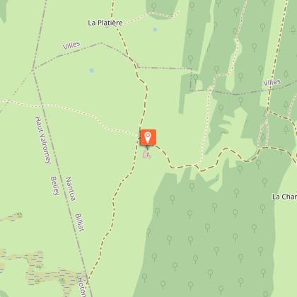
Itinerary: Head towards Ochiaz via the GR (red and white), Catray, Pra de devant, la Charmy and la Ferme de Retord.
▶Day 2: Ferme de Retord -> Giron, approx. 8 hrs
Distance: 25.1 km
Difference in altitude: D+740 m/D- 1000 m
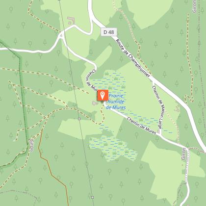
Itinerary: Follow the GR (red and white), then Pré Neyret, Col de Cuvéry, la Conay, Saint-Germain-de-Joux, Giron.
▶ Day 3: Giron -> Lélex village approx. 6h
Distance: 19.7 km
Difference in altitude: D+ 510 / D- 620 m
Itinerary: From Giron, follow Roche Fauconnière, Caserne, Sous le Crêt, Borne au Lion, Les Closettes, Le Niaizet, Lélex.
▶ Day 4: Lélex village -> Menthières, approx. 7h30
Distance: 21.6 km
Difference in altitude: D+1050 m/ D- 890 m
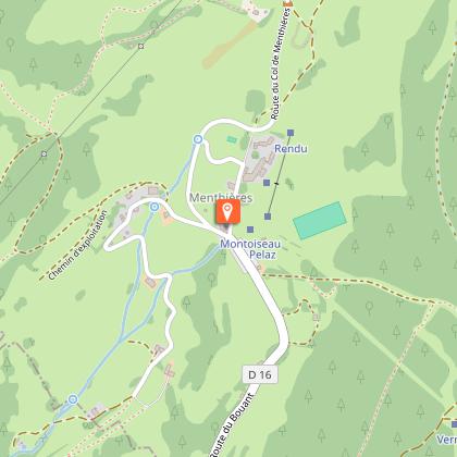
Itinerary: From Lélex follow signs for le Ratou, Refuge de la Loge, Crêt de la Neige, Reculet, refuge du Gralet, Refuge de la Poutouille, la Pelaz, Menthières.
▶Day 5: Menthières -> Bellegarde, approx. 6h00
Distance: 17.5 km
Difference in altitude: D+625 m / D-1324 m
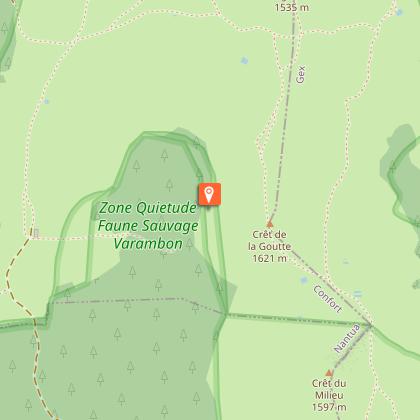
Itinerary: From Menthières, la pierre à Fromage, Crêt de la Goutte, Sorgia d'en Haut, Sorgia d'en Bas, Métral, Lancrans, les pertes de la Valserine, Bellegarde station.
Animals
No. Dogs strictly forbidden in the Haute Chaîne du Jura National Nature Reserve
