Alert
Alerts
14. Croix de Culet - Léchereuse - Champéry
Description
Leaving from the panoramic viewpoint at the tippy top of Champéry’s cable car, and skirting the slopes along spectacular alpine mountainsides on the way back to Champéry, this athletic itinerary has a little bit of everything.
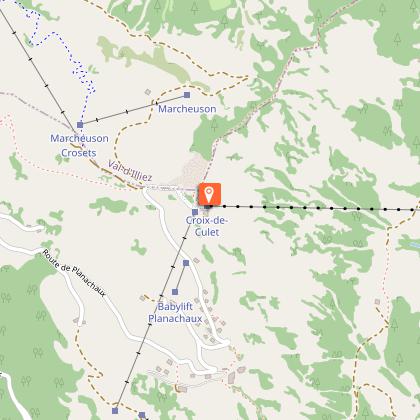
Start your hike at the top of the Croix de Culet cable car, walking downhill between the cable car building and the Planachaux chairlift arrival station to find the pink Start flag.
Continue downhill, following the snowshoe signs to turn right and cross the Planachaux ski slope (Beware of skiers!). When you reach the restaurant Refuge du Chaudron, continue straight on in front of the restaurant and the drag lift arrival station. The trail will head downhill and curve around the left edge of the reservoir.
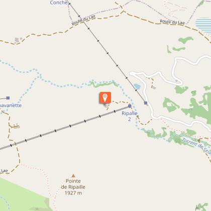
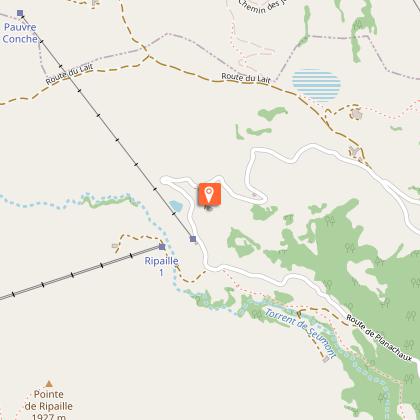
At the reservoir, take the fork to your left, heading downhill. In the distance, you will see the twin drag lifts between the Ripaille ski slopes and the legendary Chavanette ski slope, otherwise known as the Swiss Wall. Continue down to the Le Toupin restaurant, then follow the signs to the bottom of the Léchereuse drag lift. From here, follow the Seumont River to the Chalet du Pont.
Now on a wider path, pass under the Grand Paradis chairlift and take the Route des Parses to the crossroads with the Route de Sur Cou. From there, take off your snowshoes and follow the Chemin des Rochaz (on your right) back to the village.
This itinerary can be done in the reverse direction for a more strenuous challenge!
Technical Information
Altimetric profile
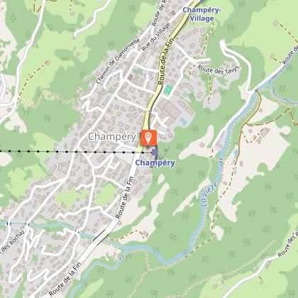
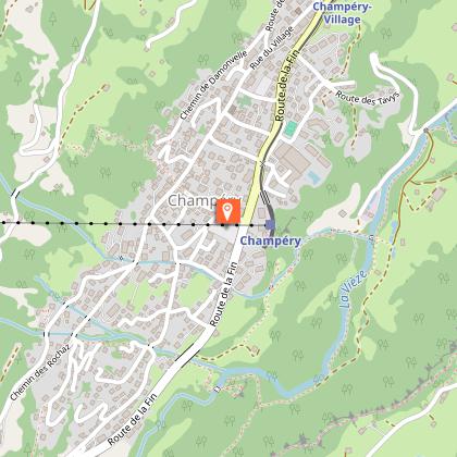
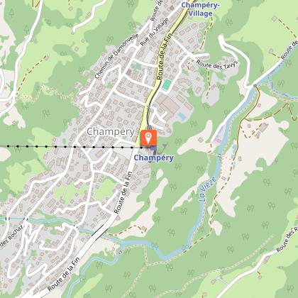
Starting point
Points of interest

Additional information
Environments
Mountain view
Updated by
Région Dents du Midi SA - 10/01/2026
www.regiondentsdumidi.ch
Report a problem
Contact
Phone : +41 24 479 05 50
Email : champery@rddm.ch
Website : https://www.regiondentsdumidi.ch/fr/region/champery
Type of land
Non-groomed itinerary
Stone
Ground
Data author
