Balade patrimoine de Baudreix : les différents visages du Gave de Pau
Description
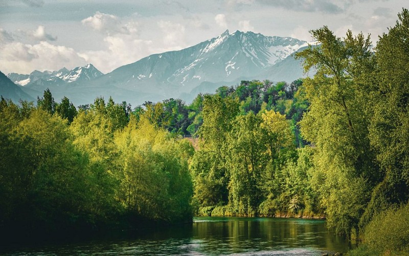
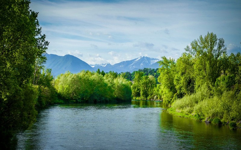
Originating in the Pyrenees, the Gave de Pau has created a wide, fertile plain between Nay and Pau. Numerous villages have settled here, all deeply influenced by the presence of the river.
This imprint remains particularly strong in the small village of Baudreix, where the economic exploitation of the Gave has been perpetuated and diversified.
On this tour, you can discover the different functions of the Gave and its many faces: rushing torrent, domesticated canal, peaceful lake...
Technical Information
Altimetric profile
Starting point
Steps
A dangerous waterway
In the mid-eighteenth century, the street which was used as the royal road was the main artery of Baudreix. In 1772, it was partially devastated by flooding of the Gave River, causing it to be moved inland to the center of the village.
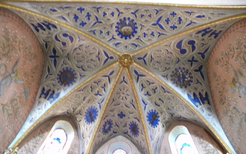
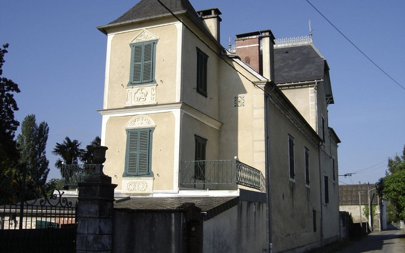
The church
The church in Baudreix was built between 1854 and 1859. It replaced an earlier building just overhanging the Gave.
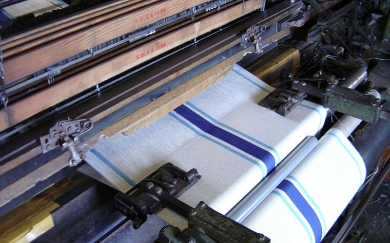
Industrial activities
This former factory has been converted into a sports hall, illustrating the importance of industrial activities for the village in the 19th and 20th centuries.
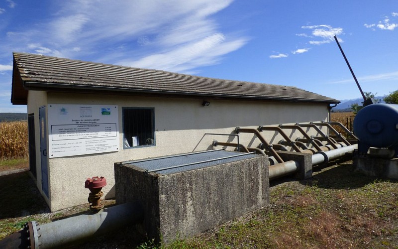
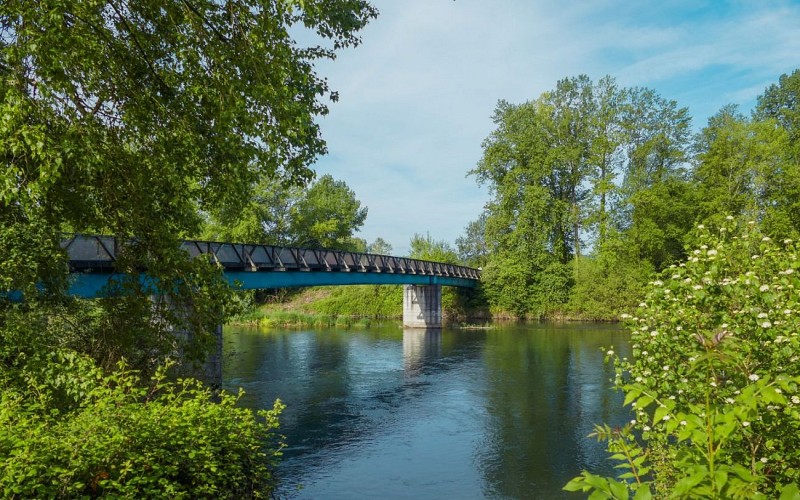
The Lagoin canal
Although 800 meters and ten meters of altitude separate the Gave from this canal, the water running through it originates from the river, which was redirected far upstream where it flows through the plain (A).
A village safe from the Gave
This is where the royal road was relocated after the flood in 1772. Farms were later installed along the route. This type of configuration is found in all villages on the plain.
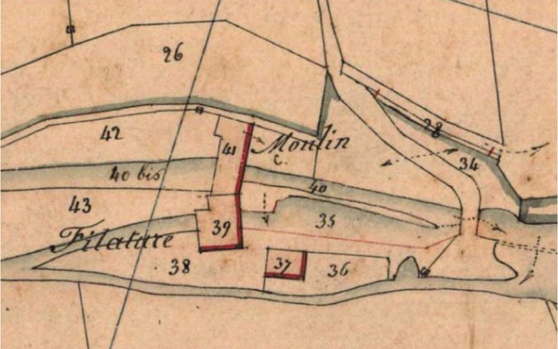
The mill
Sometimes very destructive, the Gave was also part of village prosperity. Here, it powered a mill, which in the mid-nineteenth century was also used for spinning wool ; the mill became a well-known restaurant in the nineteen-sixties.
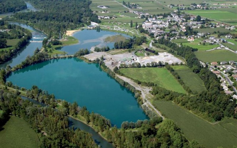
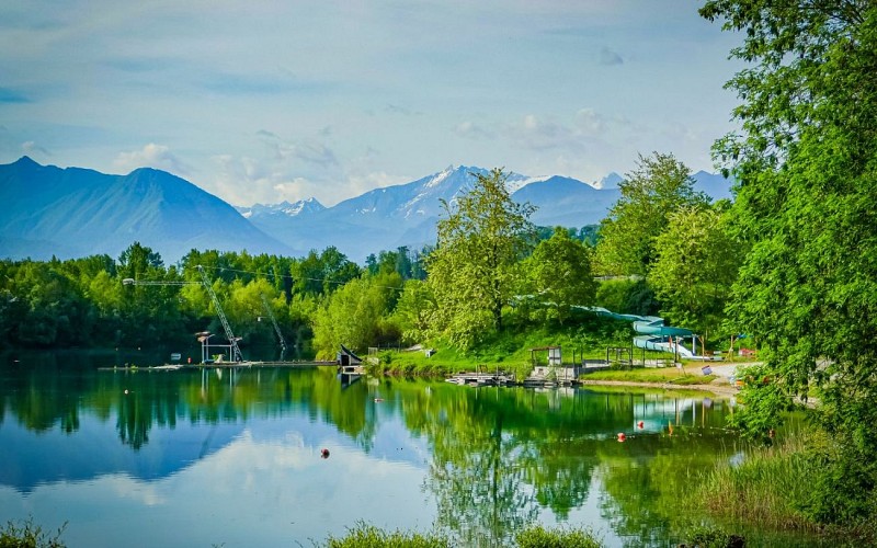
Lakes
Throughout history, the Gave has changed direction several times. In 2001, an old branch of the river running along the village was made into a lake and recreational area . An earlier lake had been created by the extraction of gravel.
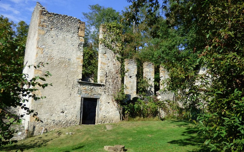
The paper shop
The remains visible at the end of the field are those of an old paper mill founded around 1840 on the border between the villages of Baudreix and Mirepeix.
Additional information
Typologie de l'itinéraire
Loop
Durée moyenne de l'expérience
1 to 2 hours
Thèmes
Historical
Contact
Fixed telephone : +33 5 59 13 94 99
