Alert
Alerts
Description
Map
Ratings and reviews
See around
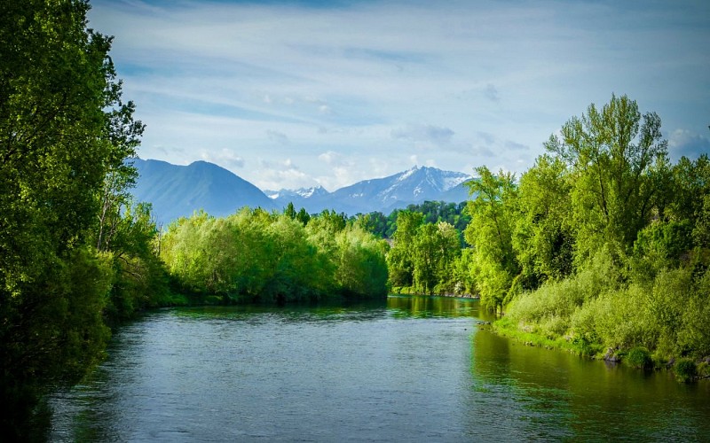
A dangerous waterway
Credit
: OTCPN
Description
In the mid-eighteenth century, the street which was used as the royal road was the main artery of Baudreix. In 1772, it was partially devastated by flooding of the Gave River, causing it to be moved inland to the center of the village.
Technical Information
Lat, Lng
43.204955-0.259115
Coordinates copied
Uncertain state
Point of Interest updated on 01/01/1970
This point of interest hasn't been updated recently, which could compromise the reliability of this information. We recommend that you inquire and take all necessary precautions. If you're the author, please verify your information.
Altimetric profile
Data author

Ratings and reviews
To see around