Alert
Alerts
Tour des Fiz: La Grande Traversée des Fiz - in 3 days


Description
Experience the Tour des Fiz adventure through the most technical sections!
Day 1: Plaine-Joux - le Dérochoir - Sales - Salvagny - Grenairon
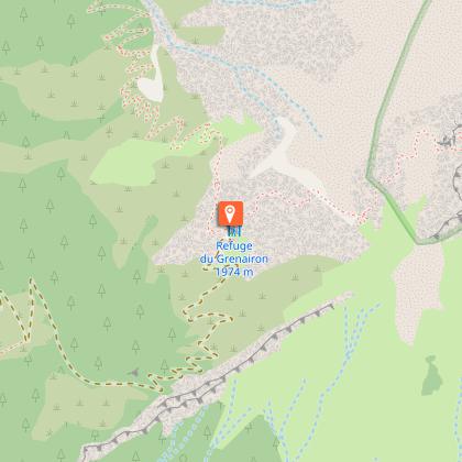
Depart Passy Plaine-Joux in the direction of Barmus. Then take the Dérochoir pass to reach the Sales refuge. Then head for Salvagny, and begin the ascent to the Grenairon refuge. Overnight stay at refuge de Grenairon.
> 9h30 walking time. 22.5km. Total ascent: 2000m - Total descent: 1400m
> Equivalent in effort km: 47.
Possibility of cutting this stage to add a night at the Sales refuge with a first day of 8.5km, 900m ascent, 350m descent; and a second day of 14km with 1100m ascent and 1050m descent.
Day 2: Grenairon - Les Fonts - Alfred Wills
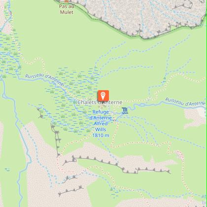
Departure from the Grenairon hut to reach the Alfred Wills hut, via the Fonts hut and the Petit Col d'Anterne. Overnight stay at the Alfred Wills hut.
> 5h40 walking time. 14.5km. Total ascent: 1050m - Total descent: 1200m.
> Equivalent in effort km: 28.
Day 3: Alfred Wills - Anterne - Moëde - Plaine-Joux
Depart from the Alfred Wills hut for Lac d'Anterne and the Col d'Anterne. You then have several options. You can take the 4×4 track to Ayères des Pierrières for the most direct return to Plaine. Or you can go as far as the Moëde Anterne refuge, and from there decide to reach Lac de Pormenaz either via the Argentières path (a few handrails), or via the Chorde path (several handrails and numerous passages with ladders). Then join the Châtelet d'Ayères refuge, and finally return to Plaine-Joux.
> 12km. Approx. 5h walking time. Total ascent: 620m - Total descent: 1100m
> Equivalent in effort km: 22.5.
Technical Information
Altimetric profile
Starting point
Points of interest


Date and time
- From 15/06/2027 to 10/09/2027
Additional information
Environments
Mountain location
In a nature reserve
Updated by
Office de Tourisme de Passy - 07/10/2026
www.passy-mont-blanc.com/
Report a problem
Open period
From 15/06 to 10/09 daily.
Check refuge openings at www.monrefugeaupaysdumontblanc.com
From November to May, the route is cleared. Snow may still be present in spring.
In winter, access to the Tour des Fiz is not recommended (high-level ski mountaineering only).
Accessible outside the snow season and depending on weather conditions. Please check with the Tourist Offices beforehand for current access conditions and the opening hours of refuges along the route.
Subject to favorable snow and weather conditions.
Contact
Phone : +33 (0)4 50 58 80 52
Email : info@passy-mont-blanc.com
Website : https://www.passy-mont-blanc.com/
Tricky passages
Passage du Dérochoir: old rockfall, semi-climbing (steps, ladders, ropes).
La Chorde (downhill from Lac de Pormenaz): ladders
Animals
No. Itinerary in a nature reserve: dogs prohibited, even on a leash
