Alert
Alerts
La Combe des Fours from Le Cochenet - hiking trail
Description
One-day hike to discover the Combe des Fours, for very good walkers, starting from the Cochenet- le pont de la Flée parking lot.
Discover the La Combe des Fours hike from the Cochenet parking lot. This demanding but rewarding route will delight hikers of a good level in search of breathtaking scenery; allow a full day for this hike.
After crossing the Flée bridge, the trail winds and climbs gradually, offering breathtaking views of the surrounding peaks.
At Combes des fours, the path leads to Col de Portette, where, if you're lucky, you'll spot the majestic Bearded Vulture.
Technical Information
Altimetric profile
Starting point
Points of interest


Additional information
Tips
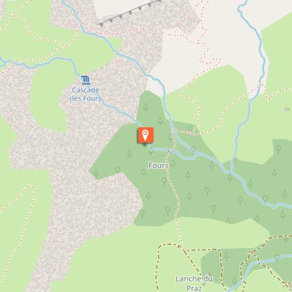
1/ Park at Parking de Cochenet (or Plagne d'en Haut 1024 m)
2/ Head for the Pont de la Flée (1060m).
3/ At the Pont de la Flée, continue steeply uphill to reach the Pierre Fendue.
4/ Follow the path to the right, towards Mayère, and cross the bridge over the Torrent des Fours.
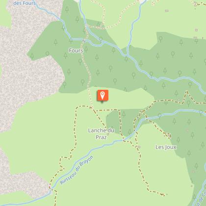
5/ Leave the Mayère path and take the left-hand path towards Les Fours.
6/ Arriving at the Combe des Fours, cross the Torrent des Fours and continue up the more or less steep slope to the Gouille des Fours.
7/ Continue along the combe to reach the Col de Portette after a short climb.
8/ Return along the path below the Col de Portette,
9/ After the steep switchbacks, rejoin the 4x4 track and follow it to the Chalets de Coeur.
10/ Then reach the Pierre Fendue, the Flée bridge and the Cochenet parking lot.
Updated by
Cordon Tourisme - 03/04/2026
www.cordon.fr
Report a problem
Environments
Mountain view
Mountain location
Panoramic view
Open period
All year round daily.
Dates are indicative and may vary according to snow conditions. Please contact Cordon Tourisme for current conditions.
Subject to favorable snow and weather conditions.
Contact
Phone : 04 50 58 01 57
Email : info@cordon.fr
Website : https://www.cordon.fr
Location complements
2120 m Col de Portette
Topo guides and map references
Map references :
Mont-Blanc lookouts, IGN 25th database
Type of land
Rock
Stone
Ground
Reception complements
Map available from the tourist office to discover these and other trails.
Whatever your hike, remember to pack cereal bars, plenty of water, sunglasses, sun cream, a small first-aid kit, and clothing suited to the season and weather forecast.
This itinerary can also be done accompanied, by hiring a mountain leader.
Animals
Yes. Dogs must be kept on a leash.
Data author
