Atharri

Description
The typical village of Itxassou is the starting point of many hiking routes. Atharri is a good compromise between walking and hiking. Mostly easy, this route will remind you for an hour that you still are in the mountains! The pleasures are varied. You can spend a moment strolling on the “beach” of the Pas de Roland, watch the ballet of vultures, and even sweat profusely on the only climb of the route. Welcome, you arrived in Basque Country.
Technical Information
Altimetric profile
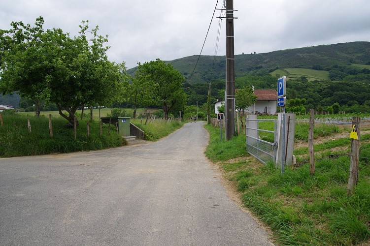
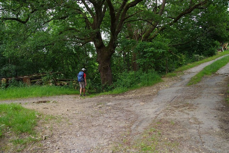
Starting point
Steps
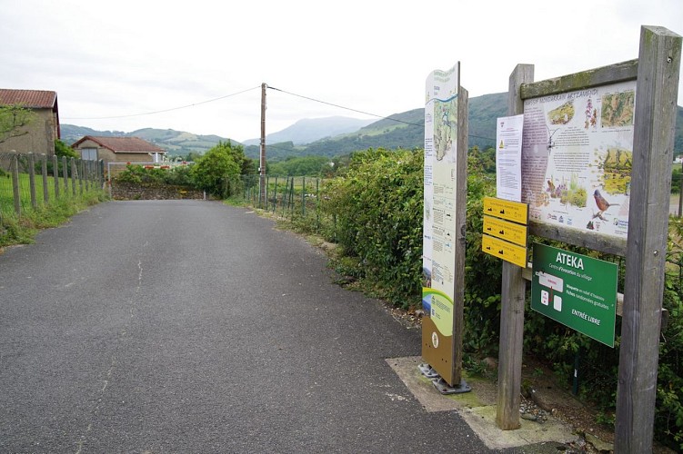
Starting point
Leave the parking lot and immediately turn right onto the road that goes down towards the mountain. 400m further on, just after a small bridge, turn left, still on a road. It is 800m after the start that you leave the tarmac road to go on a wide track.
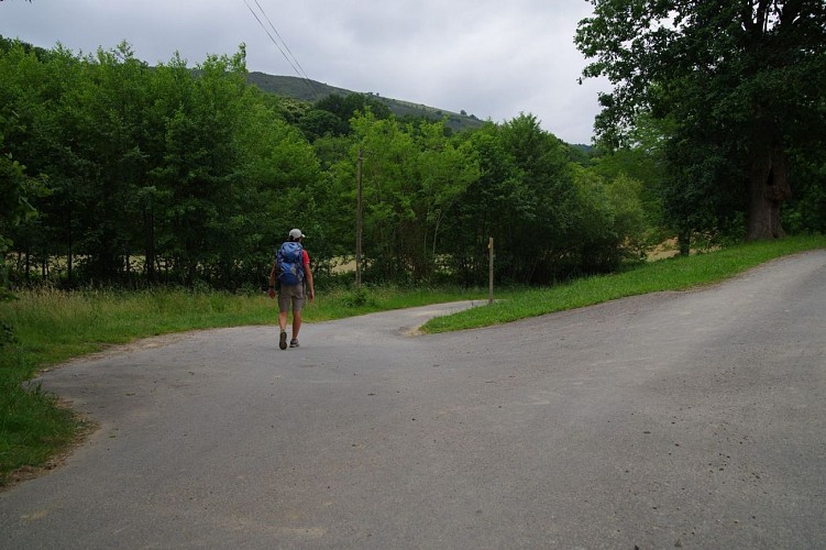
Forest
At the crossroads of several tracks, take the only road that goes downhill. 200m further on, at a new crossroads, continue downhill until you reach a road.
Road and Pas de Roland
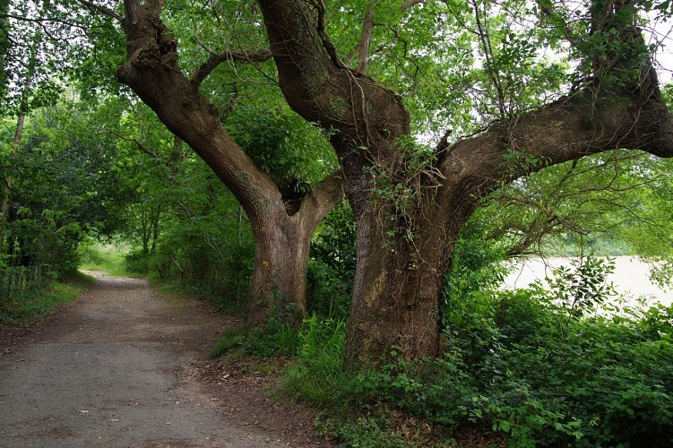
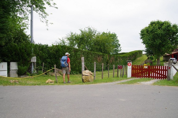
Follow this road downhill, to the right and 250m further on, join the Pas de Roland road which you must follow to the right. The passage along the Nive is very pleasant and lasts about 1km. Pass the Pas de Roland, and cross the small hamlet of Laxia.

The uphill slope
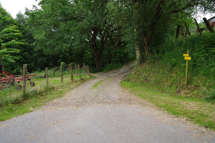
After the hamlet, turn right onto the road called “Chemin d’Heletenea”. After 350m of steep ascent, leave the road that goes down to the left and take a path that continues to climb. After two zigzags, start a long crossing along the side of the mountain, first under the trees, then gradually into gorse heath. Continue straight ahead on this path until you reach the Col de Legarre road.
The Legarre Pass
Follow the road to the right for 400m to reach the Col de Legarre. At the col, turn right along a hedge, and 150m further on, right after a wooden barrier, turn left and start the long descent towards Itxassou. Continue on this track until you reach a road.
Road section
Take the road to the right and 200m further on, in a hairpin bend, leave the road still to the right. Go straight and follow the track until you reach the start route mentioned at the end of the first step.
Return to the village
Turn left and return to the village by the same route as the first step.
Points of interest
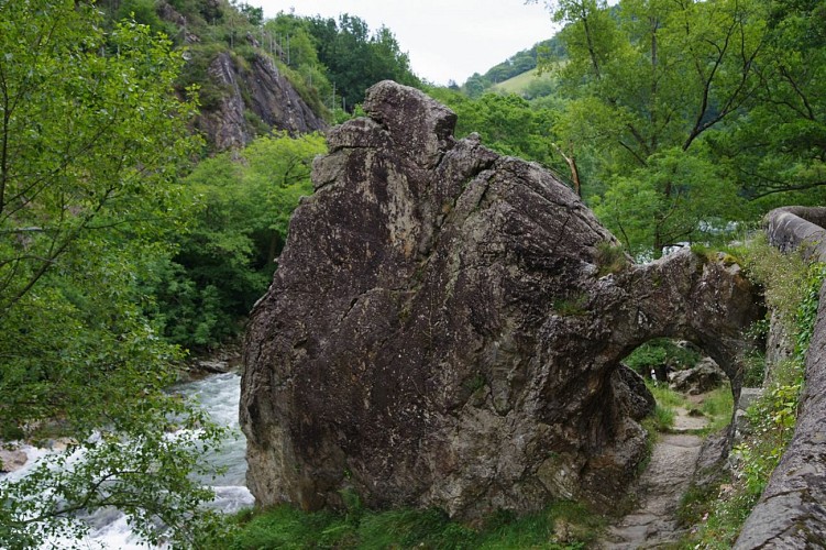
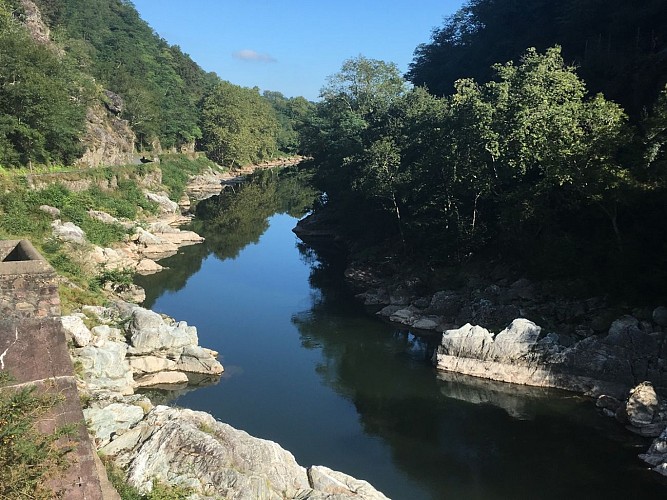
The Pas de Roland
The Pas de Roland is situated on the path along the turbulent waters of the Nive, towards the Artzamendi. According to legend, the hoof of Roland’s horse, Charlemagne’s nephew, broke a rock in two in a gorge where the Nive flows, at a place now called Le Pas de Roland. In Basque, this place is known as Atekagaitz, which means “bad passage”.
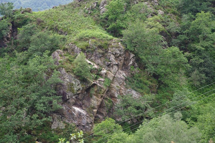
Vultures' nest
At this very spot, looking to your left, just across the ravine, you can see a vulture’s nest, recognizable by the white marks below, caused by the droppings. This scavenging bird of prey, very present in the Basque mountains, is always very impressive to observe in flight or in the nest. Don’t forget to bring your binoculars!
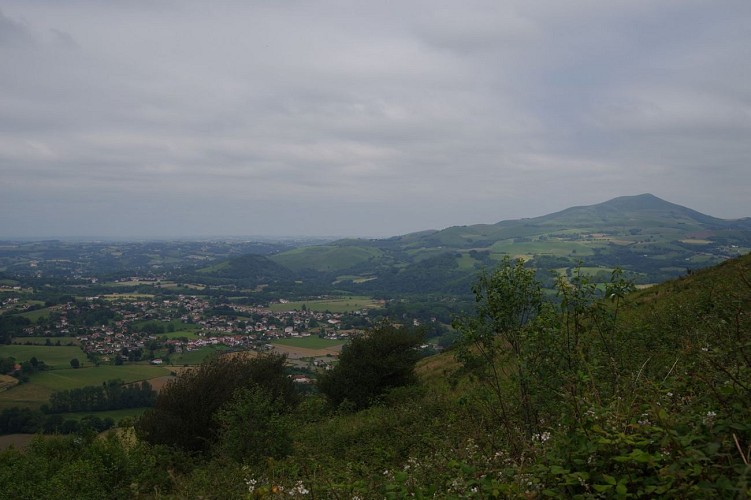
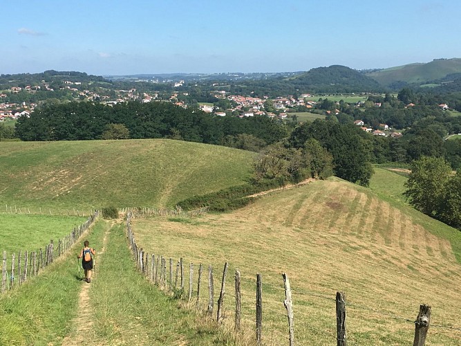
Panorama of the Labourd
The Atharri mount is situated at 370 meters altitude at the foot of the Mondarrain with the ocean on the left, the village of Itxassou and Mount Ursuia on the right… This small viewpoint over the Labourd is certainly one of the assets of this route. The coastal province of the Labourd spreads out before your eyes and offers a beautiful reward after a hard climb.
Additional information
Balisage
Yellow
Trait - Balisage directionnel sur supports locaux
Typologie de l'itinéraire
Loop
Durée moyenne de l'expérience
3 to 4 hours
Thèmes
Natural
Data author
