Alert
Alerts
Description
Map
Ratings and reviews
See around
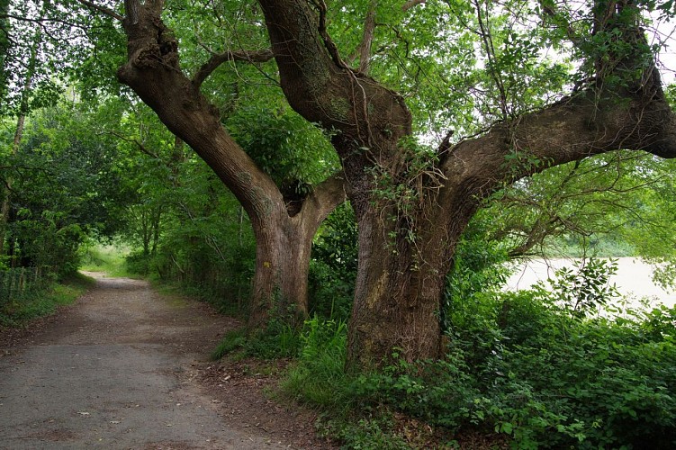
The uphill slope
Credit
: Mendi Lagunak
Description
After the hamlet, turn right onto the road called “Chemin d’Heletenea”. After 350m of steep ascent, leave the road that goes down to the left and take a path that continues to climb. After two zigzags, start a long crossing along the side of the mountain, first under the trees, then gradually into gorse heath. Continue straight ahead on this path until you reach the Col de Legarre road.
Technical Information
Lat, Lng
43.3128793-1.4021915
Coordinates copied
Uncertain state
Point of Interest updated on 01/01/1970
This point of interest hasn't been updated recently, which could compromise the reliability of this information. We recommend that you inquire and take all necessary precautions. If you're the author, please verify your information.
Altimetric profile
Data author

proposed by
Office de Tourisme Pays Basque
64502 France
Ratings and reviews
To see around