Alert
Alerts
Type of practice
Walking
2h
Presentation
Description
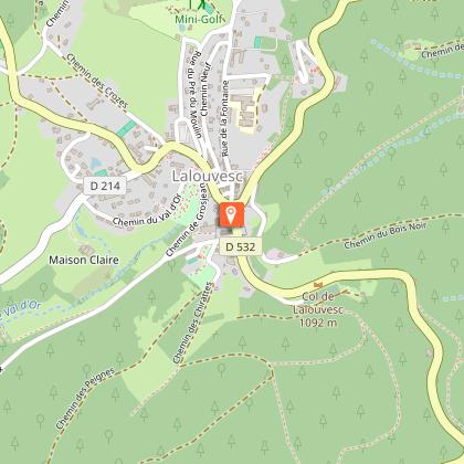
Map
Points of interest
Ratings and reviews
See around
Hiking Trail: The tour of Mont Chaix
Description
This delightful, shaded hike around the highest point of Val d'Ay includes some wonderful views over the valley and the Alps. Easy hike.
Technical Information
Walking
Difficulty
Not specified
Duration
2h
Dist.
6.1 km
Type of practice
Walking
2h
Show more
Altimetric profile
Starting point
Panneau "Info rando" Face à la mairie
,
07520
Lalouvesc
Lat : 45.120053Lng : 4.53467
Points of interest

Additional information
Updated by
Office de Tourisme Ardèche Grand Air - 12/06/2025
www.ardechegrandair.com/
Report a problem
Open period
From 01/01 to 31/12.
Animals
Yes
Data author

Ratings and reviews
To see around