Alert
Alerts
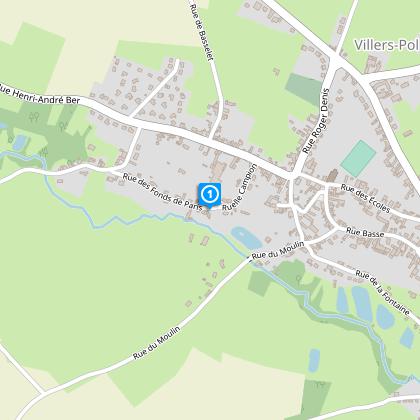
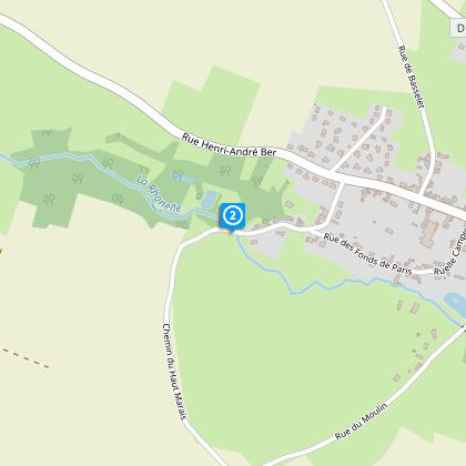
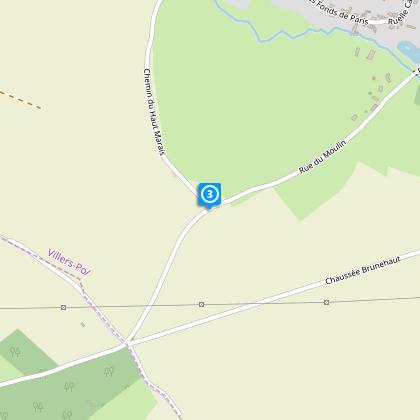
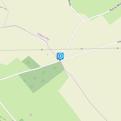
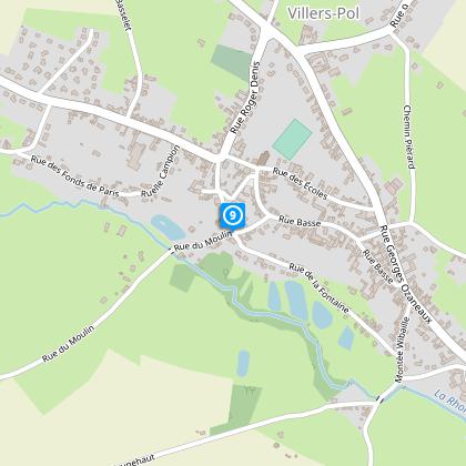
Around Villers-Pol


The Cirkwi brief
Embark on a serene journey through the picturesque valley of the Rhonelle, where cultivated plateaus meet lush valley bottoms. This adventure, crafted by Nord Tourisme, promises an engaging family-friendly excursion. Prepare to be captivated by the enchanting balance of nature and agriculture, all while navigating through idyllic countryside. Remember, the charm of this trek is most profound from April to September, offering an escape into nature's untouched beauty. Don your walking shoes for the moist paths following a rain, and let the yellow markers guide your exploration.
Brief Technical Overview
Focusing on the specifics, this walk spans approximately 7.56 kilometers, traversing elevations from 65 meters to a peak of 115 meters. The cumulative elevation gain is neatly balanced at 88 meters, both as an ascent and descent. The route, meticulously marked in yellow, provides a moderate challenge suitable for family outings. Whether you're charting your progress or planning rest points, these technical details ensure a well-prepared journey through Villers-Pol's captivating landscapes.
Seasonal Tips and Safety
Seasonal variations in Villers-Pol present unique delights and challenges. During spring and summer, the valley blooms magnificently, though post-rain trails require sturdy, waterproof footwear. Autumn brings a palette of colors, ideal for photographers and nature enthusiasts, but also a chill that necessitates warm attire. Winter trails, often muddy, demand high-quality, grippy footwear for safety. Regardless of the season, always check the weather before departure and carry water and snacks for energy replenishment.
Heritage of Villers-Pol
Villers-Pol, nestled within the Nord department, is a testament to the historical and cultural wealth of the Hauts-de-France region. This area, marked by its lush valleys and agricultural land, has been a cradle of human activity for centuries. Its landscapes, shaped by both nature and mankind, tell tales of past livelihoods and community evolution. Exploring Villers-Pol is not just a physical journey but also a voyage through time, uncovering the layers of history that have contributed to the region's unique identity.
Local Weather and Best Visits
The climatic conditions in Villers-Pol offer a mild, temperate climate, characterized by moderate rainfall throughout the year. The best times for an outdoor expedition are between April and September, when the weather is generally warmer and drier. During these months, the village and its surrounding nature come alive, providing an ideal setting for walkers to fully appreciate the verdant beauty and tranquil atmosphere of the Rhonelle valley.