Alert
Alerts
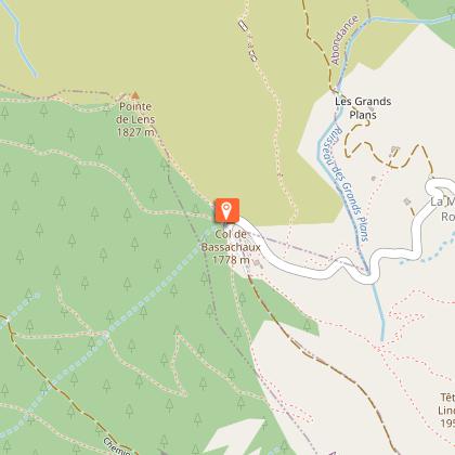
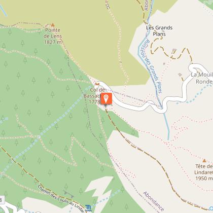
Cycling route: Col de Bassachaux from Châtel
Description
After the charming village resort of Châtel, the road rises more and more steeply, ending at a belvedere overlooking Lac de Montriond.
Gradient: 5.5%.
Accessible and signposted from the village center via the Route du Linga (D228).
Technical Information
Altimetric profile
Starting point
Points of interest
Date and time
- From 01/06/2026 to 31/10/2026
- From 01/06/2027 to 31/10/2027
Additional information
Updated by
Conseil Départemental de la Haute-Savoie - 18/02/2026
www.hautesavoiexperience.fr
Report a problem
Open period
From 01/06 to 31/10 daily.
Depending on the weather.
Contact
Phone : 04 50 73 22 44
Email :
touristoffice@chatel.com
animation@chatel.com
Website :
https://www.chatel.com
https://www.hautesavoiexperience.fr
https://www.savoie-mont-blanc.com
Facebook : https://www.facebook.com/ChatelOfficiel
Location complements
From Thonon-les-Bains: D902 / D22; by bike: signposted route 36 "Circuit de Joux-Plane" to Bioge, then D22. Freeway: A40 exit 14 Annemasse / D1206 / D903. Train station: Thonon-les-Bains.
Data author
