Alert
Alerts
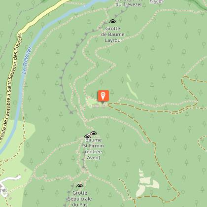
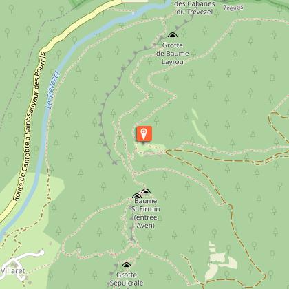
Discovery trail : Canayère - geology and landscapes

IGN cards


Description
This discovery trail of the small Causse de Canayère is a fabulous journey through time, on the scale of geological time but also, on the scale of the occupation of the site by man, from prehistory to the present day..
This trail spans nearly one hundred million years. It leads from limestone deposits laid down during the Mesozoic Era by a shallow sea, to the schist bedrock that emerged during the Paleozoic Era. It follows fault lines along which the land has subsided by hundreds of meters, and it overlooks a stream that has been carving its gorges for nearly three million years. It also allows us to glimpse, beneath this limestone soil, the kilometers of galleries, shafts, and cavities created by infiltrating water.
Enjoy your journey, then, through space and time!
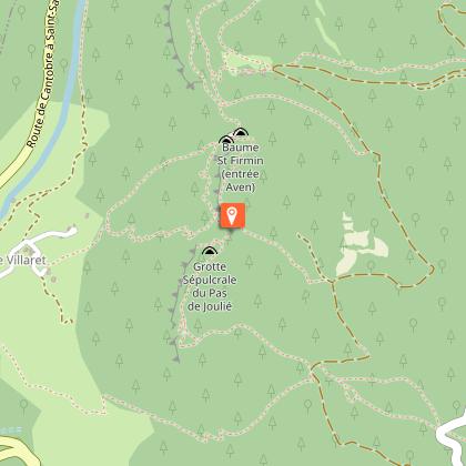
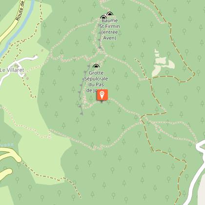
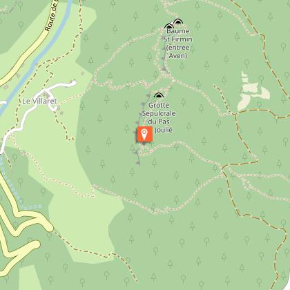
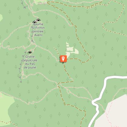
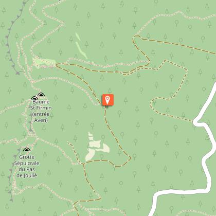
Starting point: Canayère Forest House (D710 departmental road)
Two routes
Duration: 2 hours
Distance: 3.4 km
Elevation gain: 120 m
Parking: Forest House or near the Col des Rhodes pass on the D710 departmental road towards Camprieu
Trail markers: Yellow
Hiking boots recommended. Dogs must be kept on a leash.
The trail guide is available for download or at our offices in the Mont Aigoual Causses Cévennes Tourist Office.
This trail is part of a network of forest trails and sites that allow you to discover the forest and wildlife of the Aigoual massif in partnership with the French National Forestry Office (ONF). Find information about the Aigoual state forest on the ONF website. The "Aigoual Massif 4 Seasons Nature Hub" project is co-financed by the European Union. Europe is investing in the Massif Central through the European Regional Development Fund.
Technical Information
Altimetric profile
Starting point
Steps
Points of interest

Date and time
- From 01/12/2025 to 30/11/2026
- From 01/12/2026 to 30/11/2027
Additional information
Updated by
Office de Tourisme Mont Aigoual Causses Cévennes - 04/12/2025
Report a problem
Open period
From 01/12 to 30/11 daily.
Contact
Phone : 04 67 82 64 67
Email : maisondelaigoual@sudcevennes.com
Website : https://destination.cevennes-parcnational.fr/trek/73297-Sentier-de-decouverte---Canayere---geologie-et-paysage
Animals
Yes
