Alert
Alerts
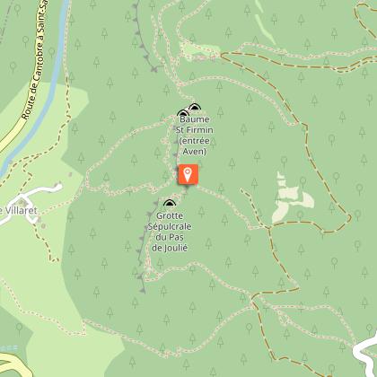
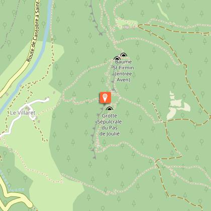
Sentier de Canayère
Description
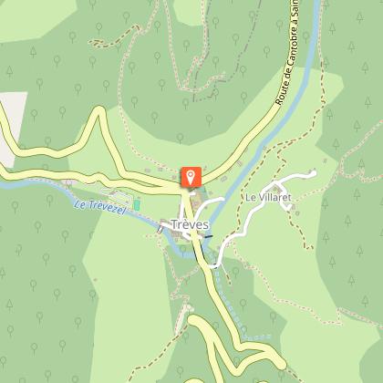
Take a break in the village of Trèves before setting off. Take the time to discover the uses and properties of boxwood, a hardy shrub with precious wood and evergreen foliage that carpets the slopes of the Canayère causse.
Follow this trail on the slopes of the Canayère plateau and be amazed by the Trévezel gorges and the village of Trèves. The path follows ancient, steep tracks, evidence of human presence. Little by little, the forest envelops you with its coolness and shade, and occasional openings offer superb viewpoints. Enjoy your walk!
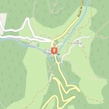
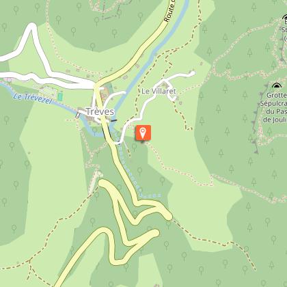
Starting point: Trèves church square
Duration: 1 hour 45 minutes
Distance: 4 km
Mountain bike access: Not suitable
Elevation gain: 375 m
Trail markers: Yellow
It is possible to extend the hike with an alternative route.
Pets must be kept on a leash. The trail is featured on the Massif de l'Aigoual map guide, available for purchase at the Mont Aigoual Causses Cévennes Tourist Office. Find the route on the Cévennes National Park website.
Technical Information
Altimetric profile
Starting point
Steps
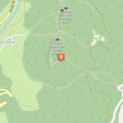
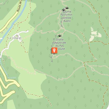
Points of interest

Additional information
Updated by
Office de Tourisme Mont Aigoual Causses Cévennes - 04/12/2025
Report a problem
Open period
All year round daily.
Contact
Phone : 04 67 82 64 67
Email : maisondelaigoual@sudcevennes.com
Website : https://destination.cevennes-parcnational.fr/trek/98861-Canayere---variante-courte?parentId=39571
Type of land
Rock
Stone
Animals
Yes
