Alert
Alerts
4-day Tour du Combeynot


IGN cards


Description
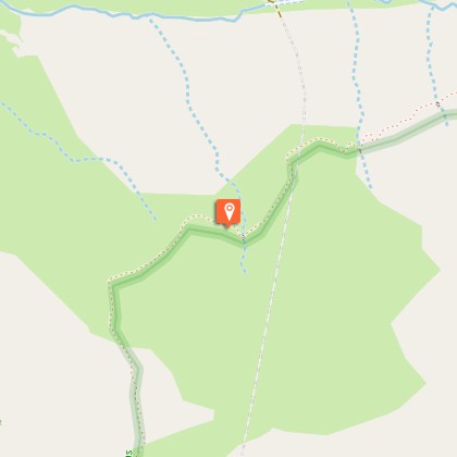
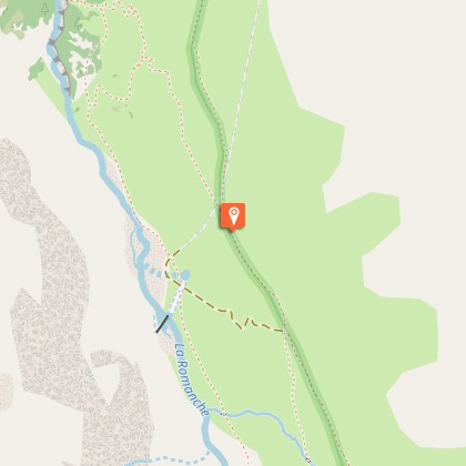
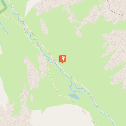
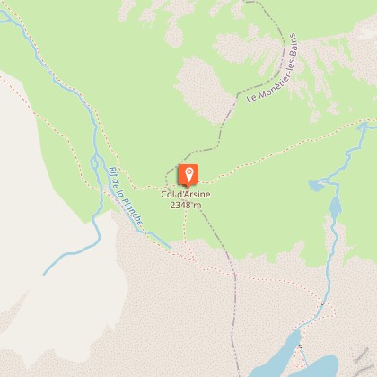
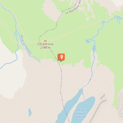
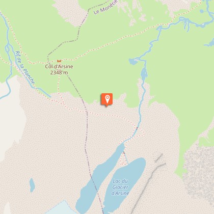
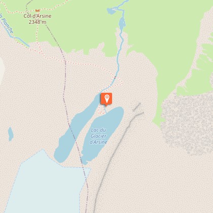
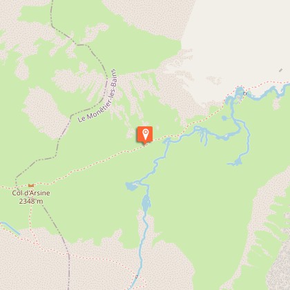
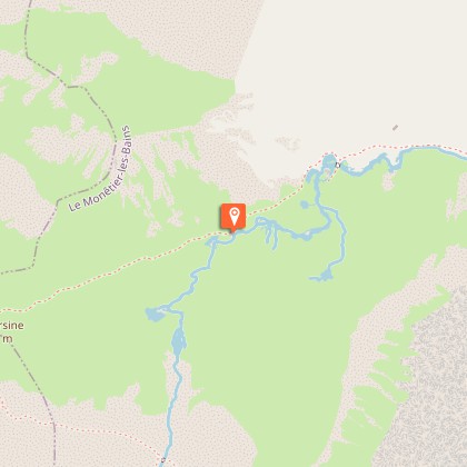
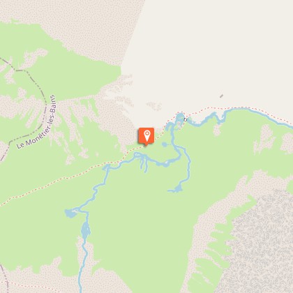
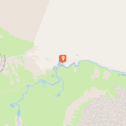
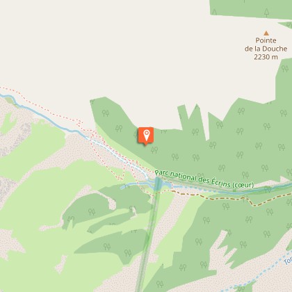
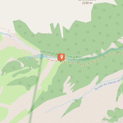
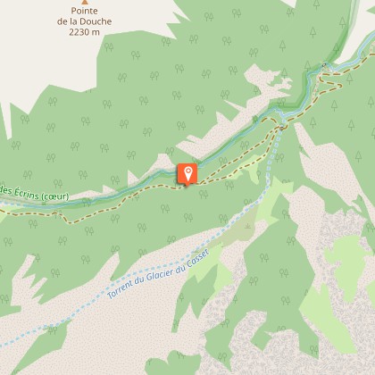
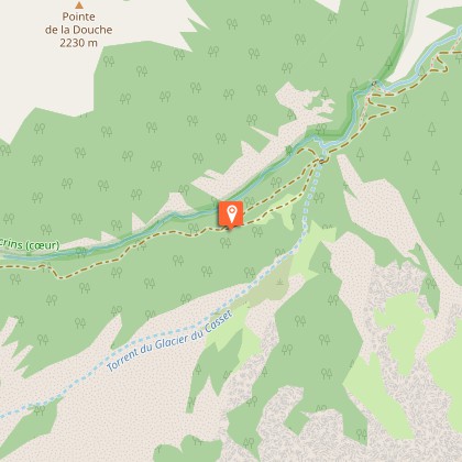
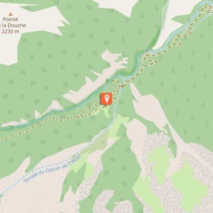
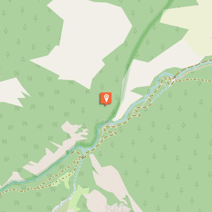
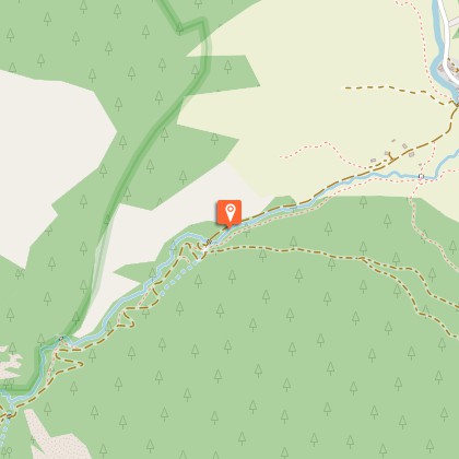
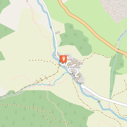
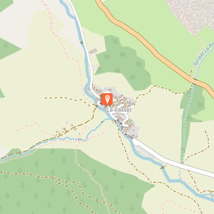
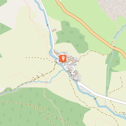
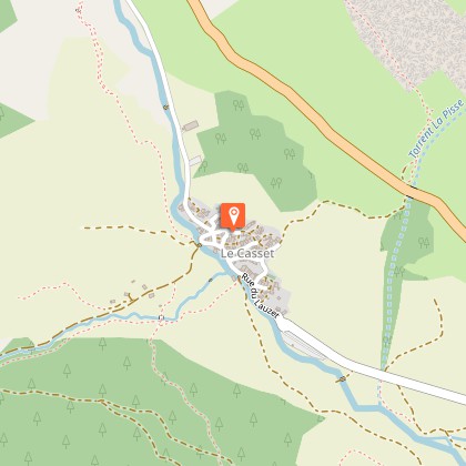
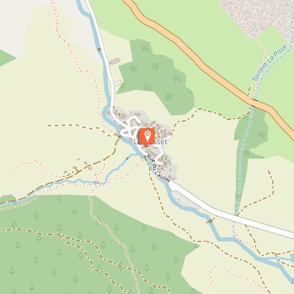
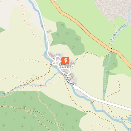
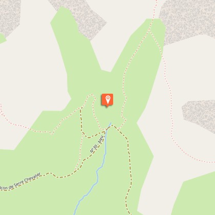
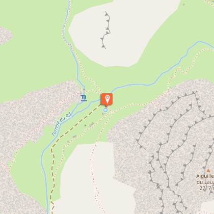
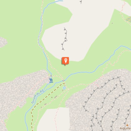
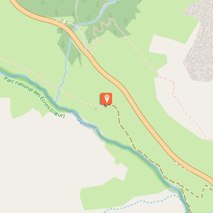
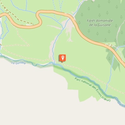
The Tour du Combeynot is an easily accessible trail through the mountain valleys of the Romanche and the Guisane, and takes you from one to the other via the Col d'Arsine and the Col du Lautaret to admire the finest peaks of the Ecrins.From Col du Lautaret there are two ways to go to the Alpe de Villar d’Arêne refuge. First, along the Crevasses path, which runs around the mountainside above the Romanche valley, or second, by continuing along the GR 50 as far as the village of Le Pied du Col (accommodation available) and going up alongside the water via Le Pas d'Anna Falque.From the Alpe de Villar d'Arêne refuge, the path enters the heart of the park and rises gradually to the Arsine glacier lakes, the highest point of the trip. The decor also matches the altitude and there is a high-mountain atmosphere. The trail is transformed in the Guisane valley, with a good path as far as the village of Le Casset, passing in front of the small lake of La Douche at the entrance to the larch forest.The third stage begins deep in the valley and is a chance to explore the architecture of the valley villages, then follows the slope opposite (on the Cerces side), along the Chemin du Roy, to arrive below L'Aiguillette du Lauzet, where you may spot some Alpine ibex, and the hamlet of Le Lauzet.The last, short stage heads back up towards the north-west of the Col du Lautaret, along the Guisane torrent, rich in the villages and chapels that are typical of mountain valleys.
Technical Information
Altimetric profile
Starting point
Steps


Additional information
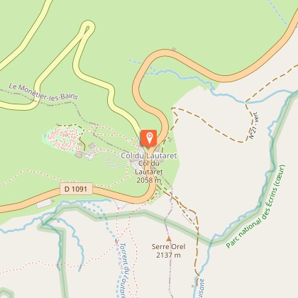
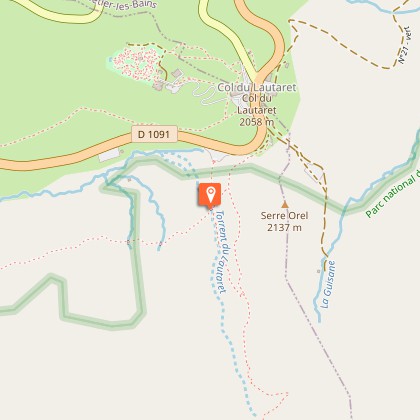
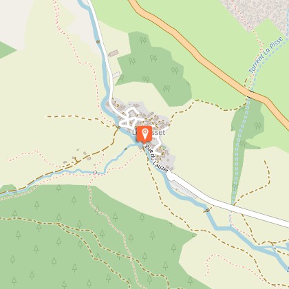
Departure
Col du Lautaret
Arrival
Col du Lautaret
Ambiance
The Tour du Combeynot leaves from Col du Lautaret and then heads into the mountain valleys of Les Ecrins. In a decor of rock and glaciers, below the impressive Agneaux mountain, the Pic Gaspard or La Meije (3,983 m), the route makes its way through mountain pastures, larch forests and mountain hamlets. Along the Romanche or on the banks of the Guisane, the fauna and flora appear at each step, as well as the rich local heritage. Between the points of interest and breathtaking views, you make your way between tradition and high mountains.
Access
From Briançon, follow the D1091 towards Grenoble, passing Le Monêtier-les-Bains and continuing on to Col du Lautaret.From Grenoble, take the D1091 towards Bourg d'Oisans, then continue towards La Grave and up to the Col du Lautaret. The Chambon tunnel is closed - you need to take the relief road.
Advised parking
Col du Lautaret
Public transport
Ligne Express Régionale PACA - Ligne 35: Serre-Chevalier - Briançon - GrenobleConsulter les horaires sur le site: www.info-ler.fr/index.php
Herd protection dogs
In mountain pastures, protection dogs are there to protect the herds from predators (wolves, etc.).When I hike I adapt my behavior by going around the herd and pausing for the dog to identify me.Find out more about the actions to adopt with the article "Protection dogs: a context and actions to adopt".Tell us about your meeting by answering this survey.
Is in the midst of the park
The national park is an unrestricted natural area but subjected to regulations which must be known by all visitors.
