Alert
Alerts
Tour de l'Aiguille de Vénosc


Description
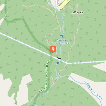
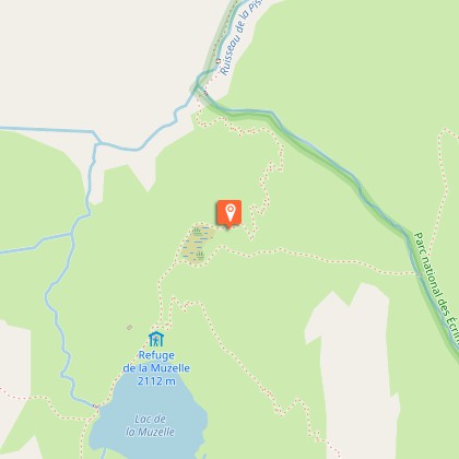
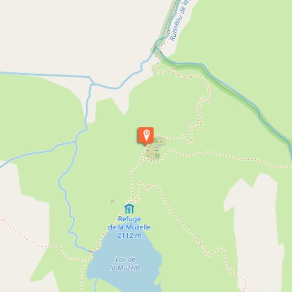
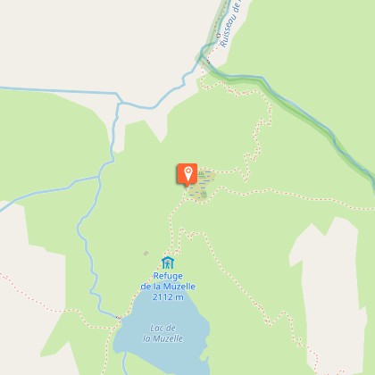
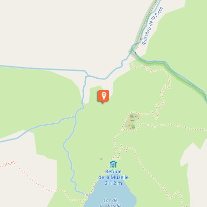
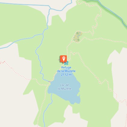
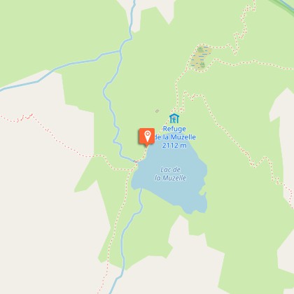
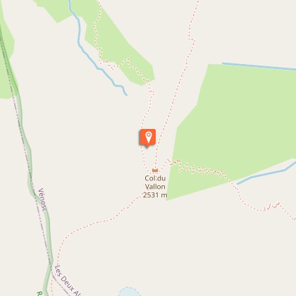
A nice circuit passing from lake to lake, leading you up to the high mountains in 2 days, with the bonus of a breathtaking and original view over the Barre des Ecrins, the only mountains over 4000 m in the southern Alps (4102m).After walking up the little narrow street towards the upper part of the village of Alleau, the climb begins on a fine forest path that then passes above the left bank of the Pisse torrent. The ascent is continuous, but the slope finally flattens out and you arrive at the magnificent corrie of Lake Muzelle with its refuge elegantly placed just above the lake. Both are watched over from above by the Muzelle glacier. After a restful night at the refuge, you start up a fairly steep path that zigzags its way just under the valley pass. Here, take your time to admire the Barre des Ecrins from an uncommon angle. Soon afterwards, the descent towards the Lauvitel looks down almost continually on Lake Lauvitel, with sections that are sometimes fitted with handrails. After Lauvitel “beach” and its pile of stone blocks, the descent towards La Danchère passes along a path that is almost entirely paved and that can get quite crowded. You then return to the village of L’Alleau partly alongside the powerful River Vénéon, in peace and quiet, through the forest.
Technical Information
Altimetric profile
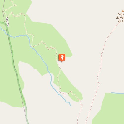
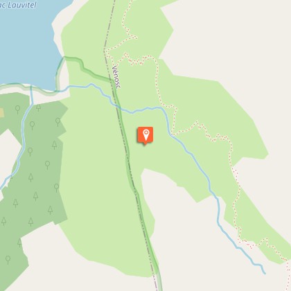
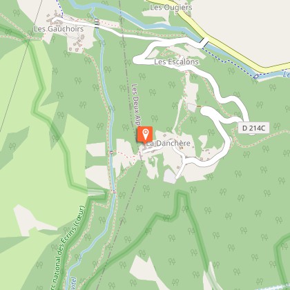
Starting point
Steps
Additional information
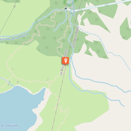
Departure
Le Bourg d'Arud
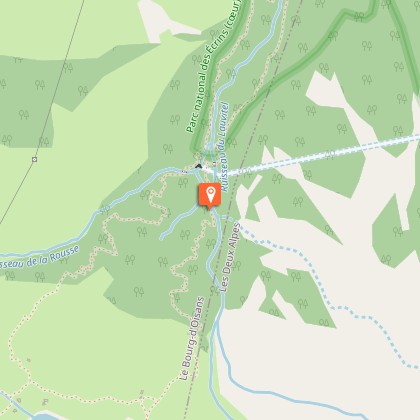
Arrival
Le Bourg d'Arud
Ambiance
A subtle blend, with bucolic views succeeded by an Alpine refuge on the lakeside, with a glacier looking down, and then the austere panorama of rock and ice of the valley col. Not to mention the pride of completing parts of the famous GR®54 and the privilege of seeing the total reserve of Lauvitel and its impressive mountain lake from above.
Access
Access to Bourg d'Arud from Bourg d'Oisans 13 km away along the D 1091 (towards Briançon), then D530 (towards Venosc, then Le Bourg d'Arud and St Christophe en Oisans).
Advised parking
Car park in Le Bourg d'Arud after the bridge on the right at the village exit towards La Bérarde.
Public transport
Gare SNCF de Grenoble, puis bus : www.itinisère.frLigne : 3040
Advice
The best period for this tour is from mid-June to the end of September, when the Muzelle refuge is open. Ask about weather and snow levels in the col valley in early summer. Some sections in the descent towards Lauvitel have handrails and can be tricky in wet weather. The same goes for the paved paths in the descent after Lake Lauvitel, which can sometimes be slippery.
Herd protection dogs
In mountain pastures, protection dogs are there to protect the herds from predators (wolves, etc.).When I hike I adapt my behavior by going around the herd and pausing for the dog to identify me.Find out more about the actions to adopt with the article "Protection dogs: a context and actions to adopt".Tell us about your meeting by answering this survey.
Is in the midst of the park
The national park is an unrestricted natural area but subjected to regulations which must be known by all visitors.
