Alert
Alerts
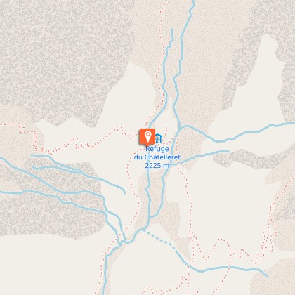
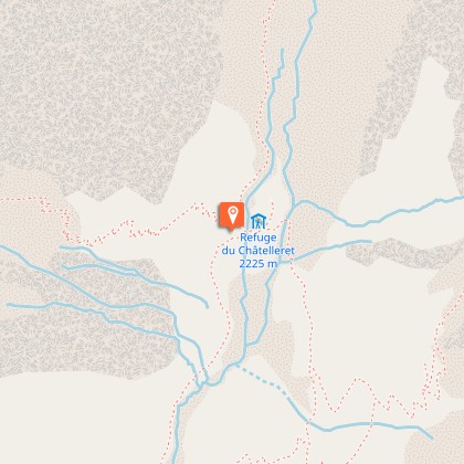
Châtelleret Refuge


IGN cards


Description
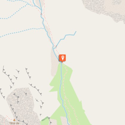
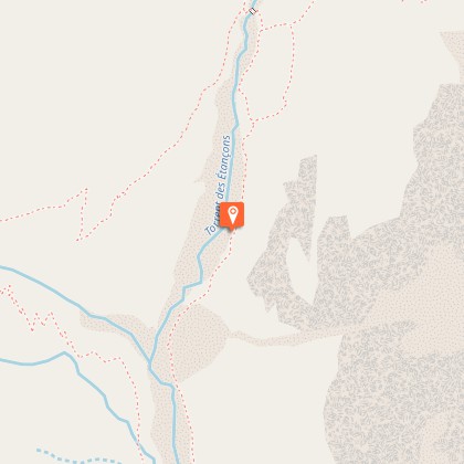
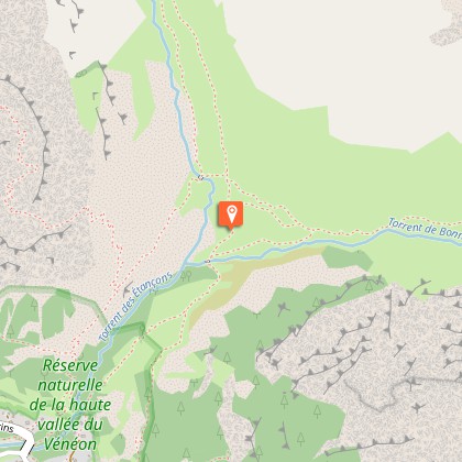
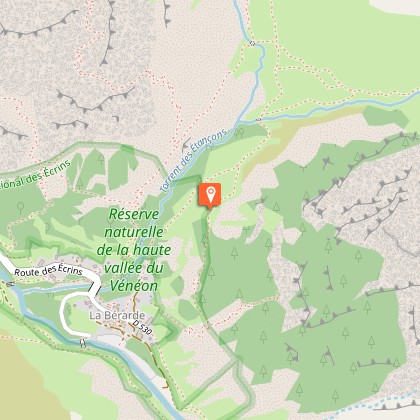
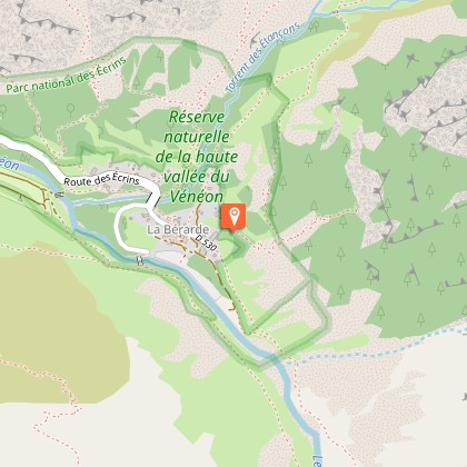
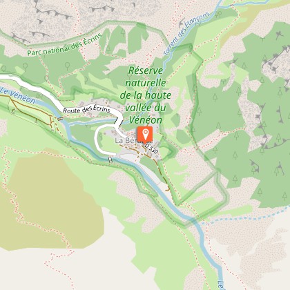
A lovely itinerary that enables you to reach the foot of the South face of the Meije without difficulty. Reach the ‘Maison de la Montagne’ at the end of the village and take the track that winds upwards to the pine forest. When you arrive at the lower shelf (entrance to the heart of the Park) follow the valley by crossing the walkway over the Bonnepierre torrent and join the Plat des Etançons, to observe the West face of the Barre des Ecrins. The track follows on flat ground in the valley. Having passed the confluence of the Plaret Gény valley, behind you to the left, the refuge appears in the distance, discreet among the stone boulders, la Meije at an altitude of 3983 m and the Râteau can be seen at the bottom of the valley. Stay on the marked trail to reach the Châtelleret refuge at an altitude of 2232 m. Return using the same itinerary.
Technical Information
Altimetric profile
Starting point
Steps


Additional information
Departure
La Bérarde, Saint-Christophe-en-Oisans
Ambiance
This ascent gives the opportunity firstly to discover the magnificent moraine of the Bonnepierre valley and the West face of the Ecrins. Then, a crossing through the junipers and the rhododendrons, where the landscape opens out on to the South face of the Meije and the Rateau summit.
Access
From Bourg-d'Oisans, take the D1091 then the D530 in the direction of Bérarde (34 km). Narrow road from Champhorent hamlet, closed in winter.
Advised parking
At the foot of the hamlet bordering the Vénéon
Public transport
Coach stop : La Bérarde
Advice
On busy days, it is possible to park at the entrance of the village just before the bridge.
Is in the midst of the park
The national park is an unrestricted natural area but subjected to regulations which must be known by all visitors.
