Alert
Alerts
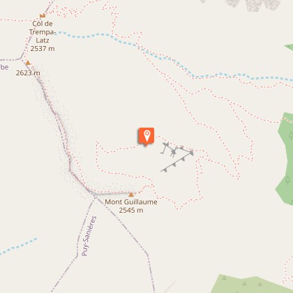
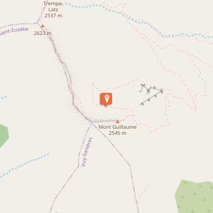
The Mont Guillaume


IGN cards


Description
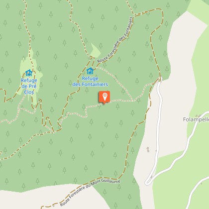
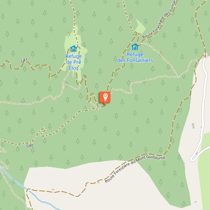
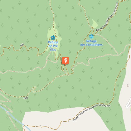
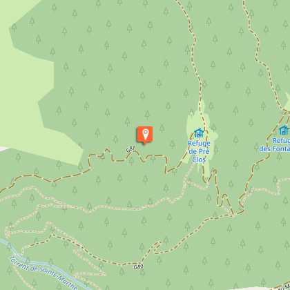
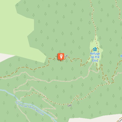
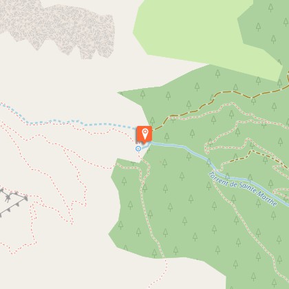
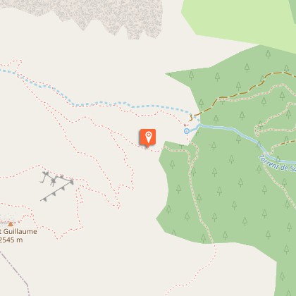
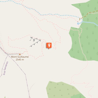
From this emblematic summit (2552 m), the view of the Embrunais and Serre-Ponçon lake is magnificent. A small chapel bears witness to the pilgrimage which takes place every year.At the carpark, take the forest road for 50 metres and skew to the right on the Widman track. Join the path. On the first bend to the right, ignore the path on the left and go up the track (Séyères chapel, mont Guillaume by Pré-Clos). Leave the path at the fourth bend to take the track to the left (Séyères chapel, mont Guillaume on the Widman track). Ignore the first path that goes down to the right, then another facing that climb up to the crossing. Take the path on the left until Séyères chapel 200 m away (fountain, picnic area). Continue along the same path and take the track to the right (Mont Guillaume on the Widman track) at the fork. At the first bend (cairn), climb the track to the Saint Guillaume chapel (2542 m), then to Mont Guillaume. Return using the same itinerary.
Technical Information
Altimetric profile
Starting point
Steps


Additional information
Departure
Hameau de Caleyère, Embrun
Ambiance
Overhanging the town of Embrun which is less than 5 km away, the Mont Guillaume is particularly important for its inhabitants. Seyères chapel has been completely restored, and at the beginning of July it welcomes a mass dedicated to Saint Guillaume which lends an extra dimension to this hike.
Access
From Embrun station, go up to the highest point of the town, cross the railway track then take the direction to Caleyère up to the hamlet. Next continue in the direction of the Forest gates.
Advised parking
Forest carpark (1587 m) at the terminus of the route (notice boards).
Public transport
Bus line Marseille Gap - Briançon ( www.info-ler.fr ) and SNCF station at Embrun.
