Alert
Alerts
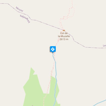
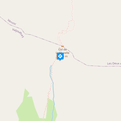
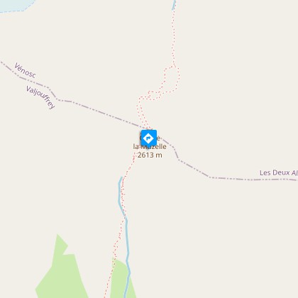
La Muzelle pass


Description
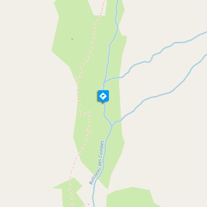
One of the most prestigious legs of the GR54 is the mineral environment characteristic of the high alpine valleys.From the Valsenestre car park, walk up the forestry track that heads east. Two footbridges enable you to cross the stream in the forest, made up essentially of conifers (pine, spruce, larch) that encloses a few odd meadows that are still mowed. Higher up, at an altitude of 1492 m, turn left to reach the edge of the forest that will give a view of a vast rock fall zone that is partially vegetated. Once you have arrived at Les Cantines mountain hut, the footpath climbs significantly on the steep slope that is grazed by sheep in the summer. On the opposite slope, you will be able to see the old footpath that climbs in tight bends to reach the hut that is cut out of the marble. You can see the entrance. Half-way, you will see the pastoral hut of Ralu on the left. The last stretch, towards 2350 m, is very steep and you will walk around many bends to cross the shale. From afar, it looks like and insurmountable wall, but in fact the footpath, which is well-maintained, makes it possible to reach the pass at 2613 m in altitude Follow the same route in the opposite direction for the return trip.
Technical Information
Altimetric profile
Starting point
Steps
Additional information
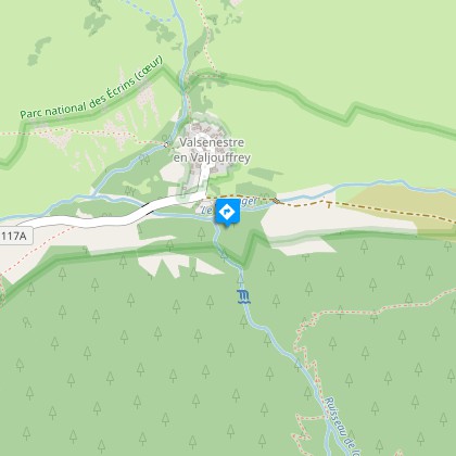
Departure
Valsenestre
Ambiance
"A few years ago, before serious restoration work, this pass was known, rightly so, as a black spot of the GR54 route. In wet weather, without a pickaxe it was difficult to drag yourself to the top of the slippery slope, where you would reach the pass with blackened fingernails. Today it is still a demanding high mountain route and needs an early start and a good physical condition". Daniel Fougeray, head of the Valbonnais area
Access
D26 from La Mure D526 from Pont du Prêtre D117 from Entraigues to La Chapelle and Valsenestre.
Advised parking
Valsenestre village car park.
Advice
Caution: névé possible on the last parts in the spring that mean you may need crampons and ice axes.
Herd protection dogs
In mountain pastures, protection dogs are there to protect the herds from predators (wolves, etc.).When I hike I adapt my behavior by going around the herd and pausing for the dog to identify me.Find out more about the actions to adopt with the article "Protection dogs: a context and actions to adopt".Tell us about your meeting by answering this survey.
Is in the midst of the park
The national park is an unrestricted natural area but subjected to regulations which must be known by all visitors.
