Alert
Alerts
La Bosse de Clapouse
Description
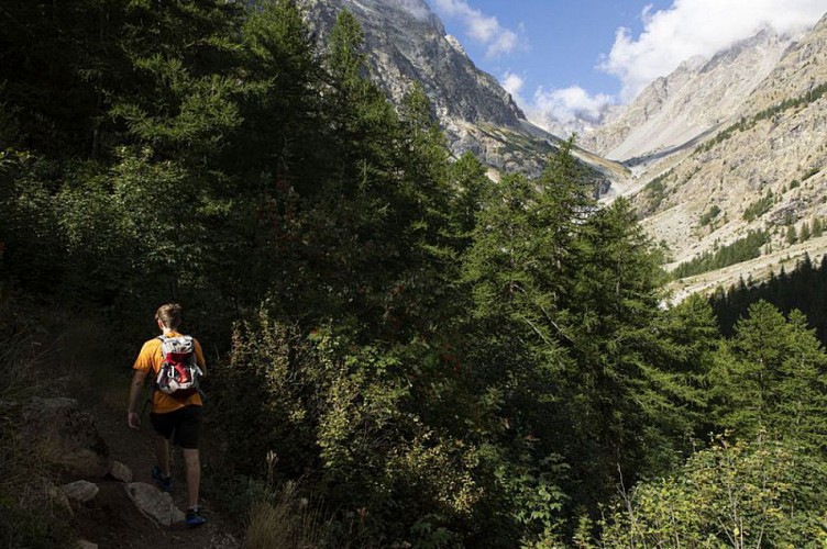
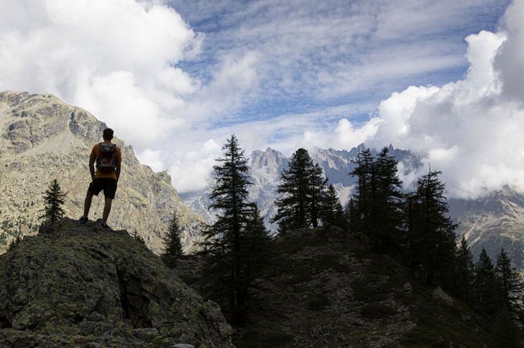
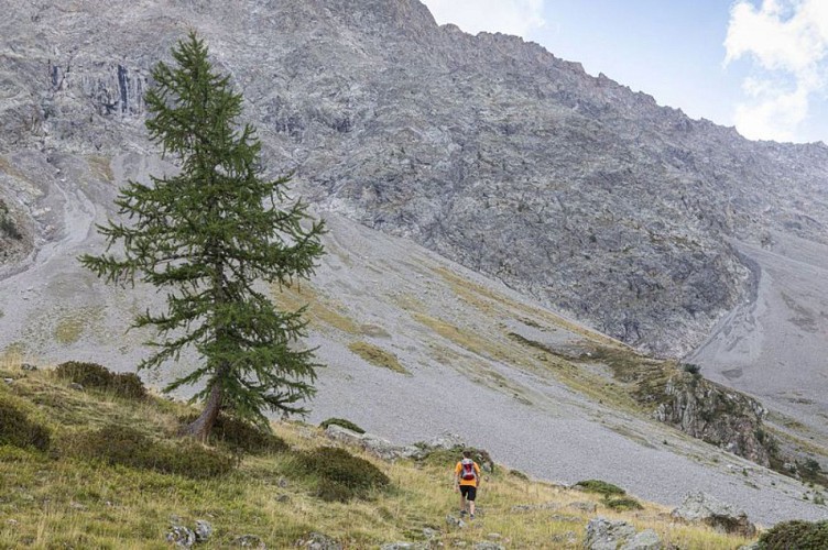
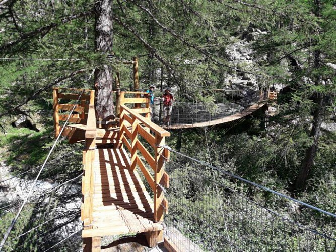
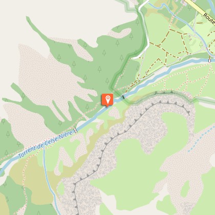
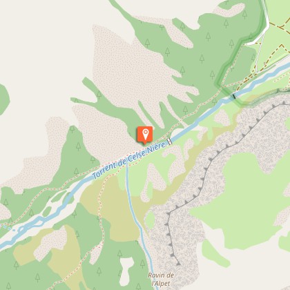
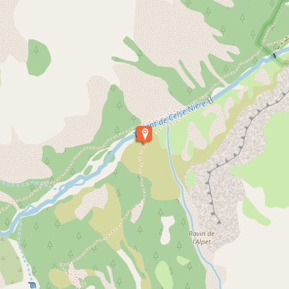
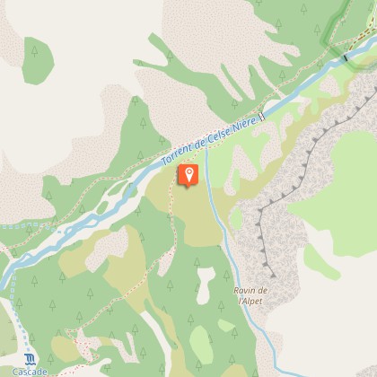
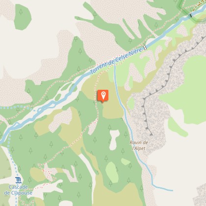
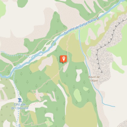
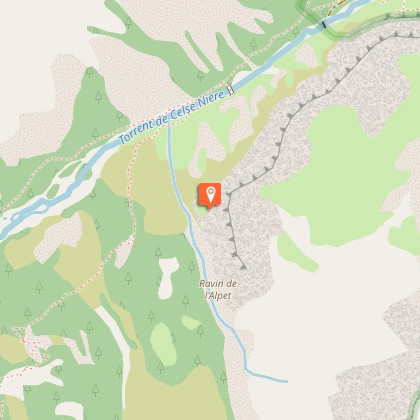
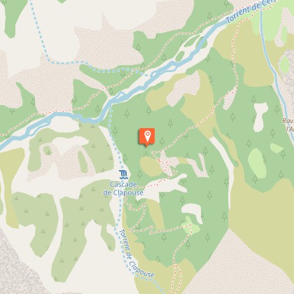
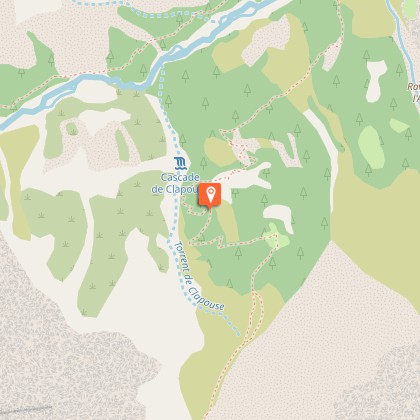
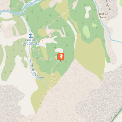
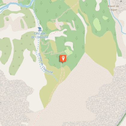
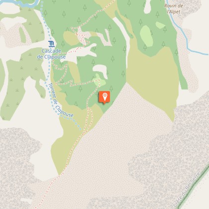
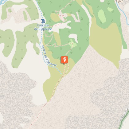
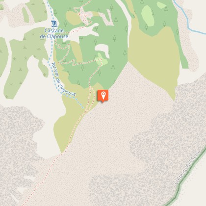
This walk to La Bosse de Clapouse, manages to unite the mildness of the larch forest, the coolness of the ravines, and the dimension of the high mountain all in an environment of emblematic plant life.From the car park, walk up the Sélé valley by the footpath that follows the left bank of the Celse Nière stream.At the post, 1572 m, cross the footbridge over the stream to the left. (It is taken down from November to June) Go up the right bank of the stream by the Clapouse footpath, then head diagonally to the left to meander up the slopes alternating through larch and green alder. The route then ingeniously leads to the ledges and crosses ravines before coming to the Clapouse valley. La Bosse (the bump) is the small summit that is reached by following a footpath.The return trip is made by the same itinerary in the opposite direction.
Technical Information
Altimetric profile
Starting point
Steps
Additional information
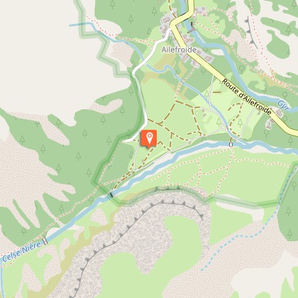
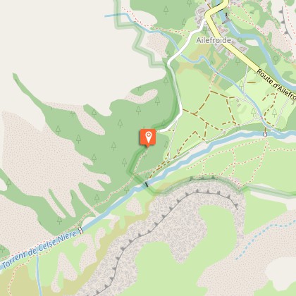
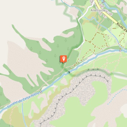
Departure
Ailefroide
Ambiance
"In the enchanting light of the larch undergrowth, mesmerised by the playful tree keepers that searched the tree trunks at breath taking speed looking for the odd insect that might be hidden in a crack of the bark, I had not even noticed the female grouse that was resting on a low branch. We spotted each other with mutual surprise. The magic led to the noisy departure of the bird. I was the trespasser" Christophe Albert, warden in the Vallouise area
Access
From the N94 in L'Argentière, head towards Vallouise, then Pelvoux. You will then reach the hamlet of Ailefroide by the D994F
Advised parking
Ailefroide car park in the summer.
Public transport
SNCF railway station in l'Argentière-la-Bessée then shuttle to Ailefroide during the summer season (reserve 36 hours in advance at 05voyageurs or call 04 92 502 505.
Advice
On this sometimes-steep footpath, the footbridge across the Celse Nière stream is dismantled from November to June. No camping after Ailefroide, bivouac permitted at least an hour's walk away from the park boundaries. No fires.
Is in the midst of the park
The national park is an unrestricted natural area but subjected to regulations which must be known by all visitors.
