Alert
Alerts
Type of practice
Walking
Hard
Trail running
Hard
Presentation
Description
Map
Steps
Ratings and reviews
See around
Escapardenne Lee Trail - Stage 1

Credit : Visit Eislek
Description
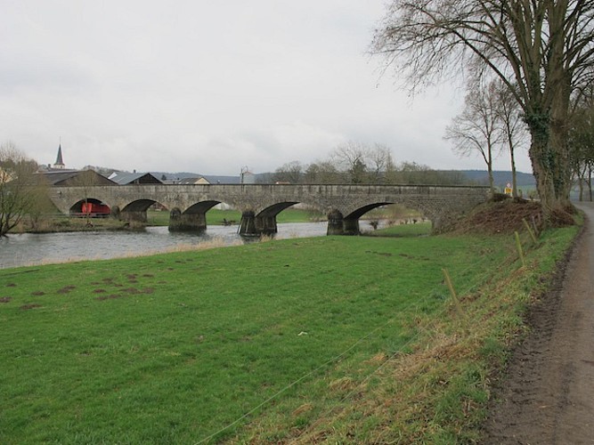
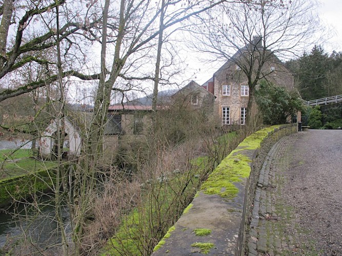
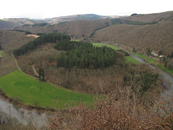
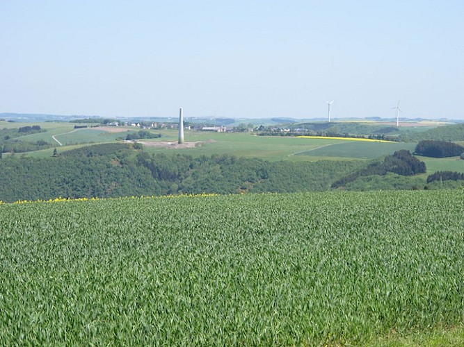
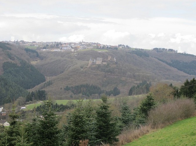
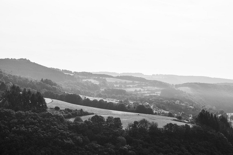
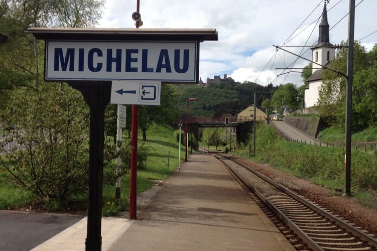
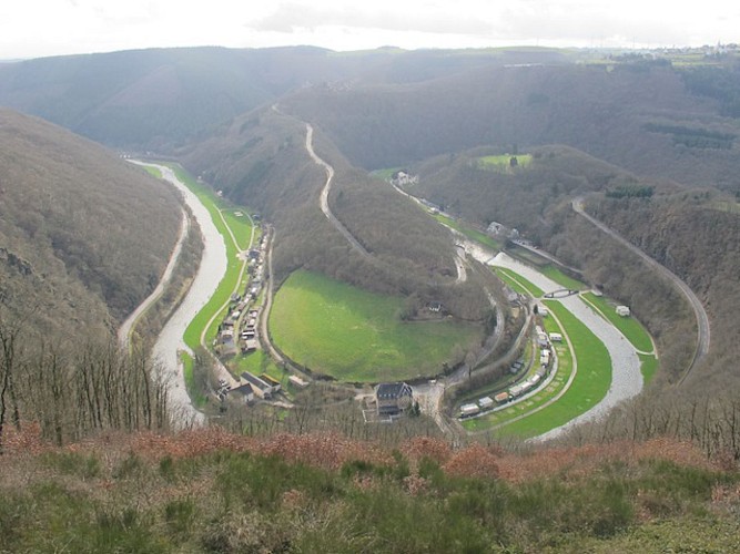
The route starts off at Ettelbruck train station and continues to the Patton monument before climbing the small, sloped path. The path then takes you along the edge of the plateau towards Erpeldange. It crosses Erpeldange and then follows along the bottom of the Mëchelbaach valley. After this there are several exceptional sites, like the panoramic view of the Predigstuhl, Michelau village and the Gringlee viewpoint. A steep descent then takes you down to Bourscheid-Moulin, situated at the bottom of the Sauer valley.
Technical Information
Walking
Difficulty
Hard
Dist.
17 km
Type of practice
Walking
Hard
Trail running
Hard
Show more
Altimetric profile
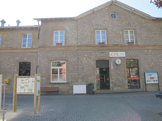
Starting point
1
Place de la Gare
,
9044
Ettelbruck
Lat : 49.84779Lng : 6.10687
Steps
Data author

proposed by
Parc naturel des deux Ourthes
Ratings and reviews
To see around