Alert
Alerts
Description
Map
Ratings and reviews
See around
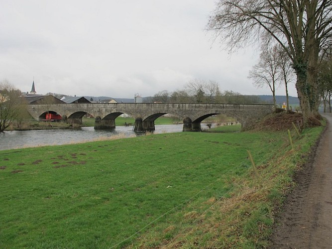
Erpeldange and the Sauer
Description
Erpeldange village is located on the floodplain of the Sauer and is closely linked. The stream has always formed an integral part of the daily life of Erpeldange's residents, imposing its constraints but at the same offering inhabitants numerous benefits. The Sauer:
• supplied the hayfields with water and nutrients;
• worked the water-mill, thus allowing the production of flour, oil and electricity (from 1921 onwards)
• provided food for the village populations, namely through salmon fishing at the foot of the mill dam.
Technical Information
Lat, Lng
49.86556.11156
Coordinates copied
Altitude
202 m
Uncertain state
Point of Interest updated on 22/06/2015
This point of interest hasn't been updated recently, which could compromise the reliability of this information. We recommend that you inquire and take all necessary precautions. If you're the author, please verify your information.
Altimetric profile
Data author

proposed by
Parc naturel des deux Ourthes
Ratings and reviews
To see around