Alert
Alerts
La croix de la Coche from Chambéry

Technical Information
Altimetric profile
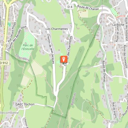
Starting point
Points of interest


Additional information
Updated by
Grand Chambéry Alpes Tourisme - 29/07/2026
www.chamberymontagnes.com
Report a problem
Contact
Phone :
04 79 60 20 20
04 79 33 42 47
Email : accueil.chambery@chamberymontagnes.com
Website : https://www.chamberymontagnes.com
Open period
All year round daily.
Environments
Close to a public transportation
Bus stop < 500 m
Guidebook with maps/step-by-step
1/ Follow Rue de la Calamine until reaching the Parc de La Calamine
2/ Cross the Parc de La Calamine while following the yellow markings and the Jean Jacques Rousseau’s Walk, then, walk along the torrent. The path arrives in the lawn, follow it, cross the forest until reaching the Avenue de la Grande Chartreuse (be careful when crossing the road, take the pedestrian crossing)
3/ Reach the street Rue Jean-Jacques Rousseau, walk along the wash house and take the gravelled track which goes up on the right while following the direction of « Les Charmettes » and the yellow marking. After a 10 minutes walk on this path, a small place is reached.
4/ On the right, follow the small road called Chemin des Rendez-Vous and continue further on Chemin de Rosemond.
5/ At the junction, walk along the Parc de l’Etincelle. In this park, there is a reading table, take a few minutes to admire the moutain ranges that surround Chambéry.
6/ The track becomes a path that crosses a wooded space, that then goes down on the left to eventually arrive in the meadow. Low down the meadow, take the path on the left, it becomes once again a track when entering a chestnut forest after a bend on the right.
7/ After a 5 minutes walk, you need to take the road that goes up on the right. Farther on this road, there is a gate that represents the beginning of a forest road, follow it.
8/ This path leads to « Terray ». Afterwards, turn on the left, farther on this path, there is a crossing called « La Basinière », take the path on the left of « Hauts de Chanaz-Maisolée ». At the next crossing, follow the markings « Croix de la Coche » and keep following it.
9/ Continue to walk this way for 500m until a new junction is reached : turn on the left. It leads to Hameau des Chanaz, cross it to eventually arrive on the road. Then, follow the path (marked GR) that goes along the road.
10/ Facing the board « la Serraz », follow the path that goes down. 500m farther, the cross appears.
11/ To come back down, take the path next to the cross. This itinerary goes along the crests and offer a splendid panorama on the moutain range of the Bauges and the municipality of Barberaz.
12/ Remain on the path, it slightly goes down on the left.
13/ When the path meets a crossing, take the declining path on the left. It leads to a road : Chemin de Montlevin, follow this road until reaching the next junction.
14/ Take the path of la Chambotte which is on the left, it becomes the path : le chemin sous le bois de la coche. At the end of this path, turn on the right in the direction of Chambéry and Haut de Chanaz.
15/ At the crossing with la route de Chanaz, quit this path to meet the path that crosses the undergrowth, the meadow and then arrives next to some houses (called le Hameau de Tremblay). Farther, take the first road on the left (Route de Chanaz). 300m farther take « le chemin Roquières-Bouzon » on the left. After a few minutes of walking, quit the path to go in the direction of « Chambéry » when the board « Roquières-Bozon » appears.
16/ 500m away there is a junction between two roads. In front of the sign « réservoir », take the road on the right and follow the direction « Maison des Parcs ».
17/ While following this direction, quit the road to join a path.
18/ At the bottom of the slope, cross the road to go in the meadow at the opposite (it leads to Hameau de la Biche). The path goes in the forest and leads to Chemin du Vercors.
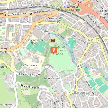
19/ Walk along the road on 100m. On the left, take the scale that goes through the passage in the old wall, next to le Parc de Buisson Rond
20/ Go down in the Parc, cross the rose garden, turn around the Château de Boigne to join the walk leading to the roundabout Monge.
Data author
