To see around
See more
Open
Close
Show
Show
Show
Show
Show
Show
Show
Show
Show
Show
Show

Oups... It would appear that Cirkwi does not have permission to use your location.

Description
Map
Points of interest
Ratings and reviews
See around

GR®700: the Régordane Way

Topo guide, le chemin de Régordane
Credit : nathalie.thomas

Description

Hike 240 kilometres of a trail once used by merchants and mule-drivers, Crusaders and pilgrims heading for St Gilles’ tomb or to Le Puy-en-Velay for its Black Madonna.

This document presents only the segment of the trail between la Bastide-Puylaurent et l’Affenadou, most of which is on the territory of the Cévennes National Park. You can find the entire itinerary in the official guidebook, Le chemin de Régordane (ref. 7000),published by the Fédération française de randonnée pédestre (FFRandonnée)and sold in the National Park’s centres, online at www.cevennes-parcnational.fr, in bookshops and sports shops, and at boutique.ffrandonnee.fr. All information about the Régordane Way is also available at www.chemin-regordane.fr.

Technical informations

This circuit was updated on: 16/11/2022
56 km
72 h
1061 m

Altimetric profile

Starting point

Lat : 44.5735816Lng : 3.9113346

Points of interest

image du object

The fairs at Villefort

Since 1511, Villefort market has been held on Thursday mornings. In the early 19th century, there were up to 14 fairs a year. Children had to attend mass at Saint-Loup-et-Saint-Roch Chapel to be allowed to go to the fairs. Large crowds were attracted to the fairs by their good reputation. The fair held on 14 September was one of the most impressive, with countless cattle blocking the village's squares and lanes. Today, Villefort is a lively place with bric-a-brac shops and artisan fairs.

- Parc national des Cévennes -
Consulter
image du object

The origins of Villefort

In the Middle Ages, Villefort was known as Villa Montisfortis, a name that might stem from a former Roman agricultural estate. At the time, a castle overlooked the village, of which nothing remains today. This castrum was strategically located on the heights of Le Collet (at the southern exit of Villefort) to protect the Regordane Way – and to collect tolls.

- Parc national des Cévennes -
Consulter
image du object

Troubled times

Villefort was embroiled in the religious wars of the 16th and 17th centuries. In 1629, Henri de Rohan besieged the village. Rue de la Bourgade was torched by the Huguenots. In the 17th century, town walls were built around Villefort, which were demolished between 1808 and 1813. During the French Revolution, heraldic shields recalling the Ancien Regime were chiselled off walls, testament to the locals' hatred of their lords. A cross on Place du Portalet is a reminder of the 1794 execution of a defiant priest from Saint-Frézal-d'Albuges. The First World War caused many local casualties. During the Second World War, Villefort was occupied by the Germans. A resistance movement nevertheless emerged in the area, consisting of many different groups. 

- Parc national des Cévennes -
Consulter
image du object

The tourism boom

Villefort dam, located a kilometre north of the village, was filled on 14 July 1964, creating an economic alternative to agriculture. Tourist activities developed: fishing, swimming and water sports. Local tourism is also founded on the canton's abundant natural heritage, with a great number of hiking trails, canyoning in the Chassezac gorge, skiing at the Mont Lozère ski stations, etc.

- Parc national des Cévennes -
Consulter
image du object

Pont de Rastel

Pont de Rastel, comme Chamborigaud, La Vernarède et Chambon, a connu un important développement économique durant l’âge d’or des filatures et des mines de charbon, au XIXe siècle et au début du XXe siècle. C’est ici que se trouve l’ancienne magnanerie du Gravas, à laquelle Jean-Pierre Chabrol, né à Chamborigaud, a souvent fait référence dans son œuvre, demeure de la famille depuis le XIVe siècle.

- Parc national des Cévennes -
Consulter

Additional information
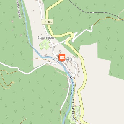
Departure

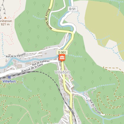
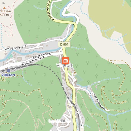
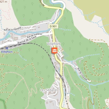
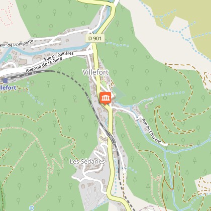
La Bastide-Puylaurent

Arrival

L’Affenadou

Ambiance

The Régordane Waywas absolutely central to circulation in Antiquity and the Middle Ages. As you hike it, you can explore the movement of people, merchandise and ideas at each stage. The Régordane Way still bears the traces of the fight for freedom of conscience and the successive challenges that it brought to the Catholic Church: Arianism, Catharism and Protestantism. It runs through very diverselandscapes, beginning with coniferous forests and lava flows in the norththat are gradually replaced by sweet-chestnut trees, broom and holm oak, and then by garrigue(Mediterranean scrubland)as you approach the Petite Camargue.

Advice

N.B.: For a variety of reasons, the actual way-marks can differ from the route described in the guidebook. Please follow the way-marks. Make sure your equipment is appropriate for several days of hiking, but also for the day's weather conditions. Remember that the weather changes quickly in the mountains. Take enough water, wear hiking shoes and put on a hat. Close all gates and barriers after yourself.

Data author

Ratings and reviews

To see around
See more
Open
Close
Show
Show
Show
Show
Show
Show
Show
Show
Show
Show
Show