Alert
Alerts
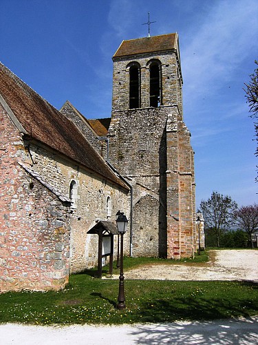
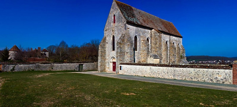
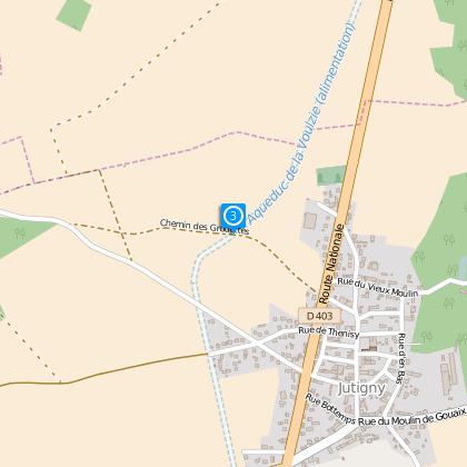
The Lourps Hill

The Cirkwi brief
Embark on a thrilling journey through the scenic landscapes of the Bassée-Montois community. This adventure will lead you across rolling hills and serene valleys, spotlighting the majestic château and the recently rejuvenated medieval chapel of Lourps. Along the way, enjoy breathtaking panoramas of Longueville, Savins, and the storied castle itself. Presented by the Bassée-Montois community, this route is a splendid blend of natural beauty and historical grandeur, promising an unforgettable experience.
Technical Insight: Key Route Metrics
This hike spans approximately 9.6 kilometers, challenging adventurers with a maximum altitude of 152 meters and a minimum of 75 meters. The total positive elevation change accounts for 222 meters, indicating a moderately demanding trek. Such metrics highlight the physical requirements needed to fully enjoy the journey, suggesting a balanced mix of endurance and the ability to navigate varied terrains.
Seasonal Tips for Hikers
For a pleasant experience, embark during Spring or Autumn to witness the vibrant flora and serene weather. Summer offers longer days, yet remember to stay hydrated and protected against the sun. Winter, albeit crisp, demands caution for slippery paths. Regardless of the season, sturdy footwear and weather-appropriate clothing are essential, as is a keen sense of adventure and respect for the natural environment around you.
Exploring the Heart of Bassée-Montois
Savins, nestled within the picturesque Bassée-Montois community, serves as a gateway to a rich tapestry of French history and culture. This region, characterized by its compelling blend of natural beauty and architectural heritage, boasts landmarks like the château and chapel of Lourps, encapsulating the medieval spirit. The area's strategic significance and its stories are intricately woven into the fabric of France, offering explorers a unique insight into the past.
Local Weather Patterns and Tips
The Bassée-Montois region enjoys a temperate climate, with distinct seasonal changes offering varying atmospheres for your hike. Spring and Autumn present mild weather, ideal for outdoor explorations. Summer brings warmth, perfect for those longer days out in nature, though it's wise to prepare for potential showers. Winters are generally cold and may deter less seasoned hikers. For optimal conditions, aim for late Spring or early Autumn visits.