Alert
Alerts
Description
Map
Ratings and reviews
See around
Credit
: ©ccbm
Description
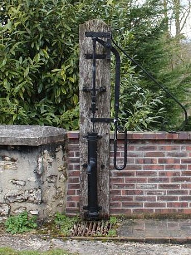
Prendre le chemin à droite. Il sort du bois. Au niveau du réservoir, continuer par la route en face et passer le calvaire. Bifurquer à droite sur le sentier qui descend puis suivre la rue de la Fontaine à gauche. Par la rue du château d’eau à droite, regagner l’église de Savins.
Technical Information
Lat, Lng
48.49971573.2065272
Coordinates copied
Altitude
150 m
Uncertain state
Point of Interest updated on 01/06/2015
This point of interest hasn't been updated recently, which could compromise the reliability of this information. We recommend that you inquire and take all necessary precautions. If you're the author, please verify your information.
Altimetric profile
Data author

Ratings and reviews
To see around