Alert
Alerts
Type of practice
Walking
Medium
1h25mn
Trail running
Medium
42mn
Nordic's walk
Medium
1h
Presentation
Description
Map
Points of interest
Ratings and reviews
See around
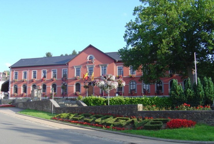
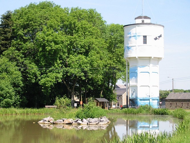
NG 17 Promenade du Maquis - Nassogne - Blue diamond markings
Credit : MT
Description
While leaving the town square, you will see the classified site of the collegiate church of Saint-Monon on your right.
After the 2nd ford, the maquis path winds its way through the fir forest, which explains its strategic location for the maquisards of the 40-45 war. At the end of the path, follow ‘la flamande’, a stone path in the valley.
As you go up towards the village, on your right, you will see a bull farm.
Technical Information
Walking
Difficulty
Medium
Duration
1h25mn
(1d)
Dist.
5.7 km
Type of practice
Walking
Medium
1h25mn
Trail running
Medium
42mn
Nordic's walk
Medium
1h
Show more
Altimetric profile
Starting point
2
Place Communale
,
6950
Nassogne
Lat : 50.12849Lng : 5.34201
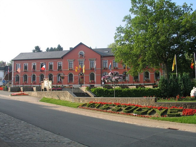
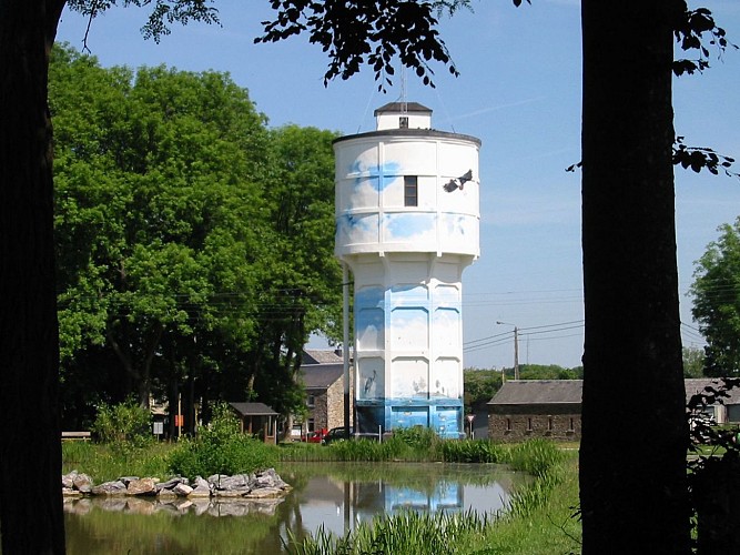
Points of interest



Data author

proposed by
Office communal du Tourisme de Nassogne
Rue de Lahaut 3 6950 Nassogne Belgique
Ratings and reviews
To see around